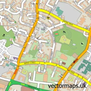
This Daisy Hill street map is a detailed vector street map covering a 750m x 750m area. Select a larger area to create and download your own vector street map of Daisy Hill.
The 750-metre map sample for Daisy Hill covers 749 mapped buildings and approximately 20.9 km of road detail, of which 45 named roads are named. The immediate area includes 1 school, 7 GP surgeries within 2 miles, 2 pubs and 15 MOT stations within 2 miles. The wider area around Daisy Hill features 3 food and drink venues. To create a larger or custom map of Daisy Hill, the map builder lets you define your own coverage area and download editable SVG, PDF and PNG files.
Create a larger editable map of Daisy Hill
Choose any area you need and generate a high-quality vector map instantly. Perfect for print, planning, design, business and personal use.

This Daisy Hill street map in Greater Manchester is available as downloadable SVG, PDF and PNG map files, or as a printed map for planning, business, display, education, local information and design work. You can also create a larger custom map area using the map selector.
What this Daisy Hill map sample shows
Daisy Hill lies within Westhoughton Cp parish, part of Westhoughton South ward in the Bolton District (B) local authority area. The postcode geography for this area includes the BL postcode area, the BL5 postcode district and the BL5 2 postcode sector. Residents fall under the Nhs Greater Manchester Integrated Care Board for NHS services.
Local features near Daisy Hill
Within 2 milesAmenities and services in and around Daisy Hill.
Administrative and postcode information for Daisy Hill
The local authority covering Daisy Hill is Bolton District (B), within the county of Greater Manchester. The settlement lies within Westhoughton South ward and Westhoughton Cp civil parish. The BL5 postcode district and BL5 2 postcode sector serve the immediate area. NHS provision in the area is delivered through Bolton Nhs Foundation Trust.
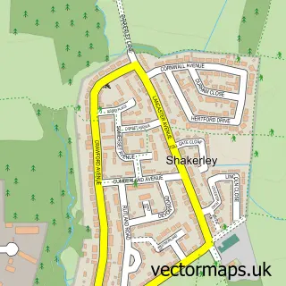
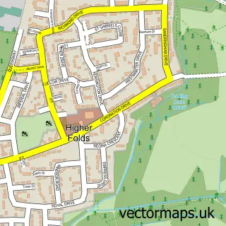
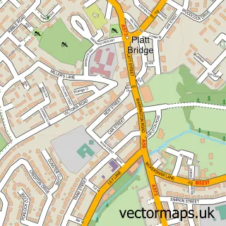
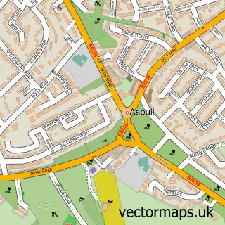
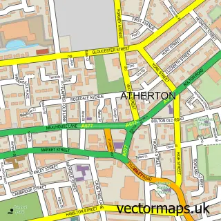
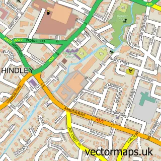
Nearby street map samples around Daisy Hill

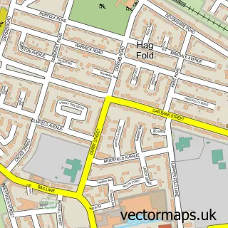
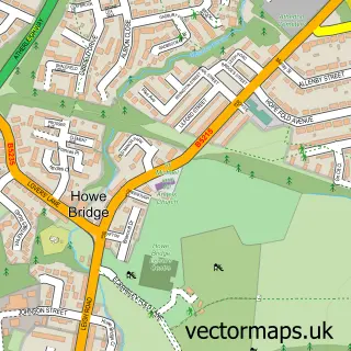
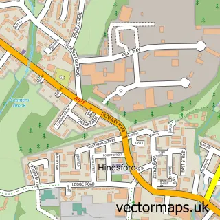

More street maps in Greater Manchester
750 metre map area coverage
Boundary, postcode and point of interest information for the 750m x 750m rectangle centred on this sample map.
Boundaries containing map centre
Constituency: Bolton West Co Const
District: Bolton District (B)
Icb: NHS Greater Manchester ICB
Parish: Westhoughton CP
Police Force: greater manchester
Postcode District: BL5
Postcode Sector: BL5 2
Ward: Westhoughton South Ward
Nearby boundaries intersecting sample
No additional intersecting boundaries found.
Postcode coverage
POI category counts
Elementary School: 4
Beauty Salon: 3
Beauty And Spa: 2
Linen: 2
Pet Groomer: 2
Pub: 2
Tanning Salon: 2
Tree Services: 2
Animal Rescue Service: 1
Auto Upholstery: 1
Sample points of interest
- Silver Fox Dog Rescue
- A & J Soft Funishings
- Razors Barbers
- All-Brows by Sandra Large
- Bone Idol Beauty
- Daisy Waves
- Nail Envy
- 𝙽𝚞𝚛𝚜𝚎 𝚉𝚘𝚎 𝙰𝚎𝚜𝚝𝚑𝚎𝚝𝚒𝚌 𝚂𝚙𝚎𝚌𝚒𝚊𝚕𝚒𝚜𝚝.
- Bridal Attractions LTD
- Honest Windows & Doors
- Bolton Metropolitan Borough Council
- Daisy Hill Cakes Bolton
Create a larger editable map of Daisy Hill
This sample shows only a 750 metre area. To create a larger map of Daisy Hill, use our map builder to choose your own coverage area, add titles and download editable SVG, PDF and PNG files.
Create a custom map of Daisy Hill