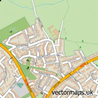
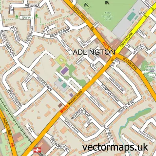
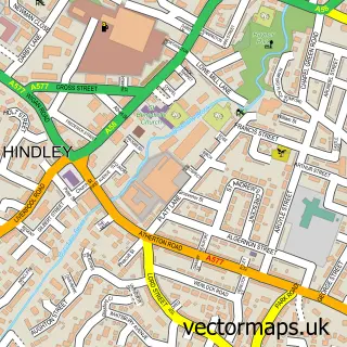
This Aspull street map is a detailed vector street map covering a 750m x 750m area. Select a larger area to create and download your own vector street map of Aspull.
The 750-metre map sample for Aspull covers 535 mapped buildings and approximately 20.7 km of road detail, of which 42 named roads are named. The immediate area includes 2 schools, 1 GP surgery, with 2 within 2 miles, 3 pubs and 10 MOT stations within 2 miles. The wider area around Aspull features 6 food and drink venues. To create a larger or custom map of Aspull, the map builder lets you define your own coverage area and download editable SVG, PDF and PNG files.
Create a larger editable map of Aspull
Choose any area you need and generate a high-quality vector map instantly. Perfect for print, planning, design, business and personal use.

This Aspull street map in Greater Manchester is available as downloadable SVG, PDF and PNG map files, or as a printed map for planning, business, display, education, local information and design work. You can also create a larger custom map area using the map selector.
What this Aspull map sample shows
Aspull lies within Wigan District (B) parish, part of Aspull New Springs Whelley ward in the Wigan District (B) local authority area. The postcode geography for this area includes the WN postcode area, the WN2 postcode district and the WN2 1 postcode sector. Residents fall under the Nhs Greater Manchester Integrated Care Board for NHS services.
Local features near Aspull
Within 2 milesAmenities and services in and around Aspull.
Administrative and postcode information for Aspull
The local authority covering Aspull is Wigan District (B), within the county of Greater Manchester. The settlement lies within Aspull New Springs Whelley ward and Wigan District (B) civil parish. The WN2 postcode district and WN2 1 postcode sector serve the immediate area. NHS provision in the area is delivered through Wrightington, Wigan And Leigh Nhs Foundation Trust.
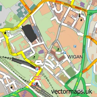
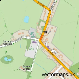
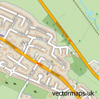
Nearby street map samples around Aspull


More street maps in Greater Manchester
750 metre map area coverage
Boundary, postcode and point of interest information for the 750m x 750m rectangle centred on this sample map.
Boundaries containing map centre
Constituency: Wigan Co Const
District: Wigan District (B)
Icb: NHS Greater Manchester ICB
Police Force: greater manchester
Postcode District: WN2
Postcode Sector: WN2 1
Ward: Aspull, New Springs & Whelley Ward
Nearby boundaries intersecting sample
No additional intersecting boundaries found.
Postcode coverage
POI category counts
Convenience Store: 5
Beauty Salon: 4
Elementary School: 3
Hair Salon: 3
Pub: 3
Sports Club And League: 3
Bakery: 2
Church Cathedral: 2
Driving School: 2
Financial Service: 2
Sample points of interest
- Clickmo
- Johnson’s Free Range Eggs
- Blackrod Ambulance Station
- The Cooperative Food Aspull Haigh Road (ERF), Aspull
- Galloways
- Sugar Treats
- Cardamom Hill
- Oliver Pub Company
- Deanne's Hair Salon
- Lime & Ginger
- Little Star Hair & Beauty Studio
- Lucy Anastasia Hair and Beauty
Create a larger editable map of Aspull
This sample shows only a 750 metre area. To create a larger map of Aspull, use our map builder to choose your own coverage area, add titles and download editable SVG, PDF and PNG files.
Create a custom map of Aspull