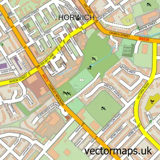
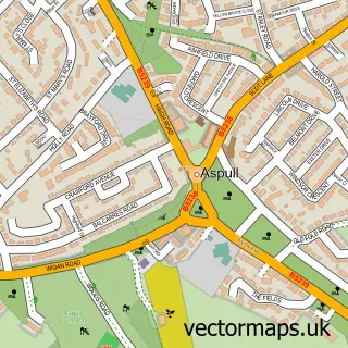
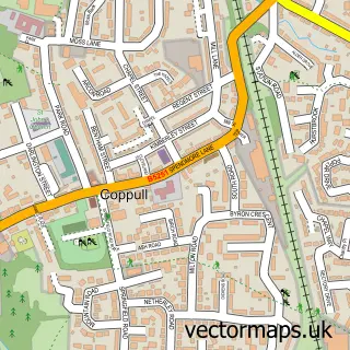
This Blackrod street map is a detailed vector street map covering a 750m x 750m area. Select a larger area to create and download your own vector street map of Blackrod.
The 750-metre map sample for Blackrod covers 318 mapped buildings and approximately 14.6 km of road detail, of which 29 named roads are named. The immediate area includes 5 GP surgeries within 2 miles, 1 pub and 14 MOT stations within 2 miles. The wider area around Blackrod features 1 tourism point of interest and 1 food and drink venue. To create a larger or custom map of Blackrod, the map builder lets you define your own coverage area and download editable SVG, PDF and PNG files.
Create a larger editable map of Blackrod
Choose any area you need and generate a high-quality vector map instantly. Perfect for print, planning, design, business and personal use.

This Blackrod street map in Greater Manchester is available as downloadable SVG, PDF and PNG map files, or as a printed map for planning, business, display, education, local information and design work. You can also create a larger custom map area using the map selector.
What this Blackrod map sample shows
Blackrod lies within Blackrod Cp parish, part of Horwich And Blackrod ward in the Bolton District (B) local authority area. The postcode geography for this area includes the BL postcode area, the BL6 postcode district and the BL6 5 postcode sector. Residents fall under the Nhs Greater Manchester Integrated Care Board for NHS services.
Local features near Blackrod
Within 2 milesAmenities and services in and around Blackrod.
Administrative and postcode information for Blackrod
Blackrod lies within Blackrod Cp parish, part of Horwich And Blackrod ward in the Bolton District (B) local authority area. The postcode geography for this area includes the BL postcode area, the BL6 postcode district and the BL6 5 postcode sector. Residents fall under the Nhs Greater Manchester Integrated Care Board for NHS services.
Nearby street map samples around Blackrod

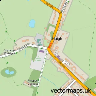
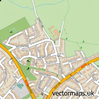
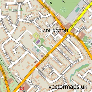
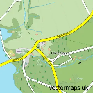
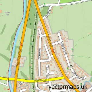
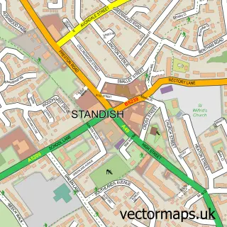
More street maps in Greater Manchester
750 metre map area coverage
Boundary, postcode and point of interest information for the 750m x 750m rectangle centred on this sample map.
Boundaries containing map centre
Constituency: Bolton West Co Const
District: Bolton District (B)
Icb: NHS Greater Manchester ICB
Parish: Blackrod CP
Police Force: greater manchester
Postcode District: BL6
Postcode Sector: BL6 5
Ward: Horwich South & Blackrod Ward
Nearby boundaries intersecting sample
Constituency: Chorley Co Const
County: Lancashire County
District: Chorley District (B)
Icb: NHS Lancashire and South Cumbria ICB
Parish: Anderton CP
Police Force: lancashire
Ward: Adlington & Anderton Ward
Postcode coverage
POI category counts
Pet Groomer: 5
Church Cathedral: 3
Indian Restaurant: 3
Bakery: 2
Beauty Salon: 2
Day Care Preschool: 2
Doctor: 2
Hair Salon: 2
It Service And Computer Repair: 2
Pharmacy: 2
Sample points of interest
- Black Rod Osteopathic Practice
- St Katharine's Blackrod
- Mercury Motorcyle Training
- Bagel Factory
- Greenhalgh's
- Sweet Revenge Coffee & Cakes
- Black Jak Bar
- Franks Barbershop
- Essence of Beauty Blackrod
- The Salon
- S & P Phillips Butchers
- Motor Home Hire Bolton
Create a larger editable map of Blackrod
This sample shows only a 750 metre area. To create a larger map of Blackrod, use our map builder to choose your own coverage area, add titles and download editable SVG, PDF and PNG files.
Create a custom map of Blackrod