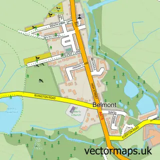
This Rivington street map is a detailed vector street map covering a 750m x 750m area. Select a larger area to create and download your own vector street map of Rivington.
The 750-metre map sample for Rivington covers 25 mapped buildings and approximately 11.4 km of road detail, of which 4 named roads are named. The immediate area includes 1 school, 2 GP surgeries within 2 miles and 4 MOT stations within 2 miles. The wider area around Rivington features 4 food and drink venues. To create a larger or custom map of Rivington, the map builder lets you define your own coverage area and download editable SVG, PDF and PNG files.
Create a larger editable map of Rivington
Choose any area you need and generate a high-quality vector map instantly. Perfect for print, planning, design, business and personal use.

This Rivington street map in Lancashire is available as downloadable SVG, PDF and PNG map files, or as a printed map for planning, business, display, education, local information and design work. You can also create a larger custom map area using the map selector.
What this Rivington map sample shows
Rivington lies within Rivington Cp parish, part of Heath Charnock And Rivington ward in the Chorley District (B) local authority area. The postcode geography for this area includes the BL postcode area, the BL6 postcode district and the BL6 7 postcode sector. Residents fall under the Nhs Lancashire And South Cumbria Integrated Care Board for NHS services.
Local features near Rivington
Within 2 milesAmenities and services in and around Rivington.
Administrative and postcode information for Rivington
Rivington lies within Rivington Cp parish, part of Heath Charnock And Rivington ward in the Chorley District (B) local authority area. The postcode geography for this area includes the BL postcode area, the BL6 postcode district and the BL6 7 postcode sector. Residents fall under the Nhs Lancashire And South Cumbria Integrated Care Board for NHS services.
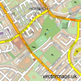
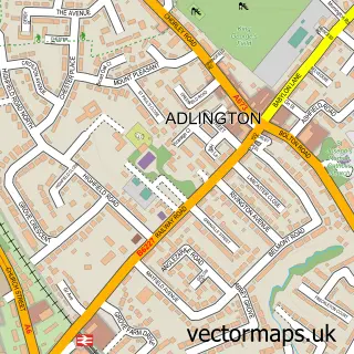
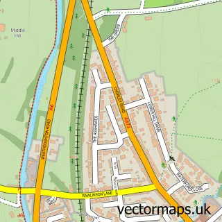
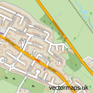
Nearby street map samples around Rivington

More street maps in Lancashire
750 metre map area coverage
Boundary, postcode and point of interest information for the 750m x 750m rectangle centred on this sample map.
Boundaries containing map centre
Constituency: Chorley Co Const
County: Lancashire County
District: Chorley District (B)
Icb: NHS Lancashire and South Cumbria ICB
Parish: Rivington CP
Police Force: lancashire
Postcode District: BL6
Postcode Sector: BL6 7
Ward: Adlington & Anderton Ward
Nearby boundaries intersecting sample
Postcode District: PR6
Postcode Sector: PR6 9
Postcode coverage
POI category counts
Cafe: 4
Church Cathedral: 2
Anglican Church: 1
Bar: 1
Elementary School: 1
Sports Club And League: 1
Sample points of interest
- Rivington Parish Church
- Rivington Village Club Tea Room & Bar
- Café at Spring Cottage
- Rivington Village Green Tea Room
- Spring Cottage
- Village Green Tea Room,Rivington.
- Rivington Parish Church
- Rivington Unitarian Chapel
- Rivington Foundation Primary School
- The Rivington (formerly Rivington Bowling Club)
Create a larger editable map of Rivington
This sample shows only a 750 metre area. To create a larger map of Rivington, use our map builder to choose your own coverage area, add titles and download editable SVG, PDF and PNG files.
Create a custom map of Rivington