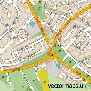
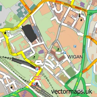
This Haigh street map is a detailed vector street map covering a 750m x 750m area. Select a larger area to create and download your own vector street map of Haigh.
The 750-metre map sample for Haigh covers 125 mapped buildings and approximately 6.0 km of road detail, of which 8 named roads are named. The immediate area includes 1 school, 1 GP surgery within 2 miles, 4 pubs and 6 MOT stations within 2 miles. The wider area around Haigh features 4 food and drink venues. To create a larger or custom map of Haigh, the map builder lets you define your own coverage area and download editable SVG, PDF and PNG files.
Create a larger editable map of Haigh
Choose any area you need and generate a high-quality vector map instantly. Perfect for print, planning, design, business and personal use.

This Haigh street map in Greater Manchester is available as downloadable SVG, PDF and PNG map files, or as a printed map for planning, business, display, education, local information and design work. You can also create a larger custom map area using the map selector.
What this Haigh map sample shows
Haigh lies within Wigan District (B) parish, part of Aspull New Springs Whelley ward in the Wigan District (B) local authority area. The postcode geography for this area includes the WN postcode area, the WN2 postcode district and the WN2 1 postcode sector. Residents fall under the Nhs Greater Manchester Integrated Care Board for NHS services.
Local features near Haigh
Within 2 milesAmenities and services in and around Haigh.
Administrative and postcode information for Haigh
Haigh lies within Wigan District (B) parish, part of Aspull New Springs Whelley ward in the Wigan District (B) local authority area. The postcode geography for this area includes the WN postcode area, the WN2 postcode district and the WN2 1 postcode sector. Residents fall under the Nhs Greater Manchester Integrated Care Board for NHS services.
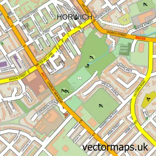
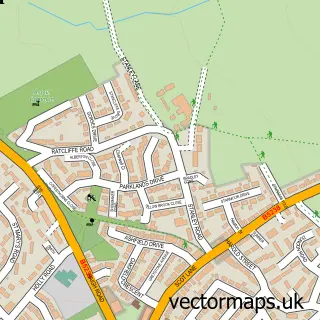
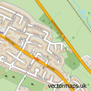
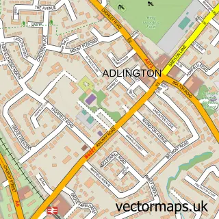
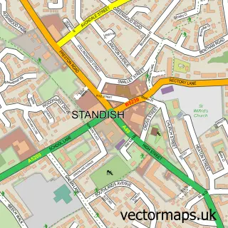
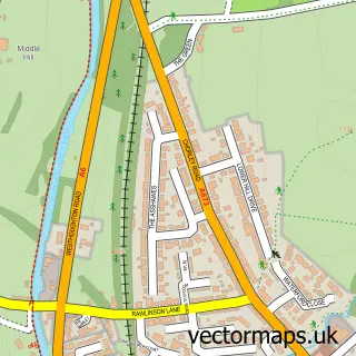
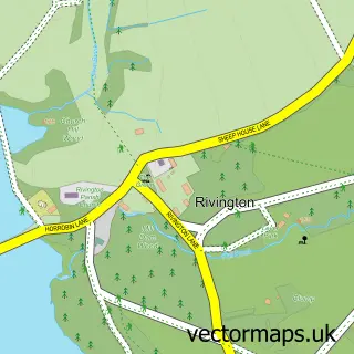
Nearby street map samples around Haigh


More street maps in Greater Manchester
750 metre map area coverage
Boundary, postcode and point of interest information for the 750m x 750m rectangle centred on this sample map.
Boundaries containing map centre
Constituency: Wigan Co Const
District: Wigan District (B)
Icb: NHS Greater Manchester ICB
Parish: Haigh CP
Police Force: greater manchester
Postcode District: WN2
Postcode Sector: WN2 1
Ward: Aspull, New Springs & Whelley Ward
Nearby boundaries intersecting sample
No additional intersecting boundaries found.
Postcode coverage
POI category counts
Pub: 4
Church Cathedral: 2
Elementary School: 2
Anglican Church: 1
Carpet Store: 1
Catholic Church: 1
Education: 1
Freight And Cargo Service: 1
Funeral Services And Cemeteries: 1
Pet Store: 1
Sample points of interest
- St David, Haigh
- Little Flooring Co
- Our Lady's R.C.
- Parish Church of St David Haigh & Aspull
- St. David's Church
- St David's School
- Saint David Haigh and Aspull Church of England Primary School
- St Davids C of E Junior & Infant School
- Roberts George and Son
- Bolton's Funerals
- British Bulldogs MCC
- Aspull Plumbing Services
Create a larger editable map of Haigh
This sample shows only a 750 metre area. To create a larger map of Haigh, use our map builder to choose your own coverage area, add titles and download editable SVG, PDF and PNG files.
Create a custom map of Haigh