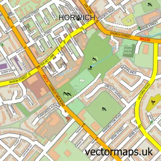
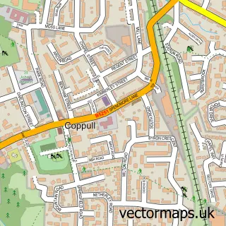
This Adlington street map is a detailed vector street map covering a 750m x 750m area. Select a larger area to create and download your own vector street map of Adlington.
The 750-metre map sample for Adlington covers 610 mapped buildings and approximately 19.6 km of road detail, of which 53 named roads are named. The immediate area includes 2 schools, 1 railway station, 2 GP surgeries and 8 pubs among other local services. The wider area around Adlington features 2 tourism points of interest and 13 food and drink venues. To create a larger or custom map of Adlington, the map builder lets you define your own coverage area and download editable SVG, PDF and PNG files.
Create a larger editable map of Adlington
Choose any area you need and generate a high-quality vector map instantly. Perfect for print, planning, design, business and personal use.

This Adlington street map in Lancashire is available as downloadable SVG, PDF and PNG map files, or as a printed map for planning, business, display, education, local information and design work. You can also create a larger custom map area using the map selector.
What this Adlington map sample shows
Adlington lies within Anderton Cp parish, part of Adlington And Anderton ward in the Chorley District (B) local authority area. The postcode geography for this area includes the PR postcode area, the PR6 postcode district and the PR6 9 postcode sector. Residents fall under the Nhs Lancashire And South Cumbria Integrated Care Board for NHS services.
Local features near Adlington
Within 2 milesAmenities and services in and around Adlington.
Administrative and postcode information for Adlington
Adlington lies within Anderton Cp parish, part of Adlington And Anderton ward in the Chorley District (B) local authority area. The postcode geography for this area includes the PR postcode area, the PR6 postcode district and the PR6 9 postcode sector. Residents fall under the Nhs Lancashire And South Cumbria Integrated Care Board for NHS services.
Nearby street map samples around Adlington

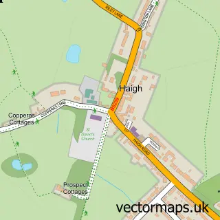
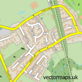
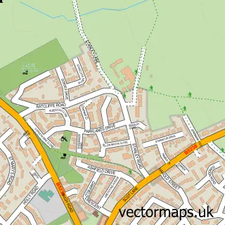
More street maps in Lancashire
750 metre map area coverage
Boundary, postcode and point of interest information for the 750m x 750m rectangle centred on this sample map.
Boundaries containing map centre
Constituency: Chorley Co Const
County: Lancashire County
District: Chorley District (B)
Icb: NHS Lancashire and South Cumbria ICB
Parish: Adlington CP
Police Force: lancashire
Postcode District: PR6
Postcode Sector: PR6 9
Ward: Adlington & Anderton Ward
Nearby boundaries intersecting sample
Parish: Anderton CP
Postcode District: PR7
Postcode Sector: PR7 4
Postcode coverage
POI category counts
Pub: 8
Real Estate Agent: 5
Beauty Salon: 4
Church Cathedral: 4
Dentist: 4
Elementary School: 4
Restaurant: 4
Building Supply Store: 3
Convenience Store: 3
Doctor: 3
Sample points of interest
- Barrow Nook Grove
- Tigerfish P R
- New Leaf Hypnotherapy
- Adlington St Paul's
- Robson Ken Piano Player
- The Cooperative Food (BF) Adlington - Bolton Road, Adlington
- King George's Field
- BlackJak’s
- Barberellas
- The Barber on Babylon Lane
- Morphology: Hair by Liz Jackson
- 1st Stop Hair Extensions
Create a larger editable map of Adlington
This sample shows only a 750 metre area. To create a larger map of Adlington, use our map builder to choose your own coverage area, add titles and download editable SVG, PDF and PNG files.
Create a custom map of Adlington