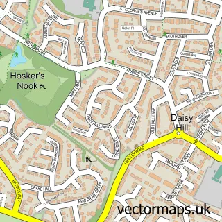
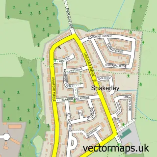
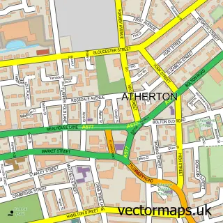
This Westhoughton street map is a detailed vector street map covering a 750m x 750m area. Select a larger area to create and download your own vector street map of Westhoughton.
The 750-metre map sample for Westhoughton covers 423 mapped buildings and approximately 18.1 km of road detail, of which 62 named roads are named. The immediate area includes 2 primary schools and 1 secondary school, 1 GP surgery, with 4 within 2 miles, 8 pubs and 11 MOT stations within 2 miles. The wider area around Westhoughton features 2 tourism points of interest and 15 food and drink venues. To create a larger or custom map of Westhoughton, the map builder lets you define your own coverage area and download editable SVG, PDF and PNG files.
Create a larger editable map of Westhoughton
Choose any area you need and generate a high-quality vector map instantly. Perfect for print, planning, design, business and personal use.

This Westhoughton street map in Greater Manchester is available as downloadable SVG, PDF and PNG map files, or as a printed map for planning, business, display, education, local information and design work. You can also create a larger custom map area using the map selector.
What this Westhoughton map sample shows
Westhoughton lies within Westhoughton Cp parish, part of Westhoughton South ward in the Bolton District (B) local authority area. The postcode geography for this area includes the BL postcode area, the BL5 postcode district and the BL5 2 postcode sector. Residents fall under the Nhs Greater Manchester Integrated Care Board for NHS services.
Local features near Westhoughton
Within 2 milesAmenities and services in and around Westhoughton.
Administrative and postcode information for Westhoughton
Westhoughton lies within Westhoughton Cp parish, part of Westhoughton South ward in the Bolton District (B) local authority area. The postcode geography for this area includes the BL postcode area, the BL5 postcode district and the BL5 2 postcode sector. Residents fall under the Nhs Greater Manchester Integrated Care Board for NHS services.
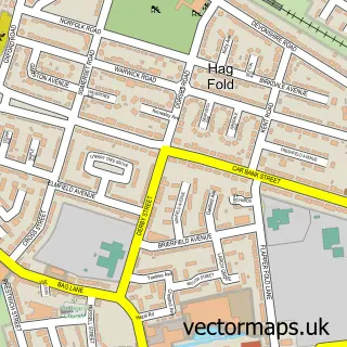
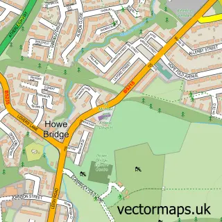
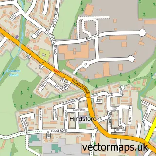
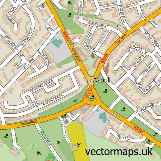
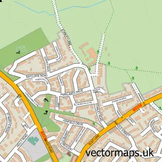
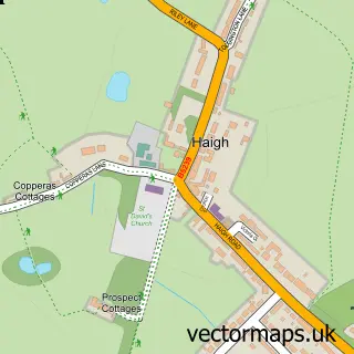
Nearby street map samples around Westhoughton


More street maps in Greater Manchester
750 metre map area coverage
Boundary, postcode and point of interest information for the 750m x 750m rectangle centred on this sample map.
Boundaries containing map centre
Constituency: Bolton West Co Const
District: Bolton District (B)
Icb: NHS Greater Manchester ICB
Parish: Westhoughton CP
Police Force: greater manchester
Postcode District: BL5
Postcode Sector: BL5 3
Ward: Westhoughton North & Hunger Hill Ward
Nearby boundaries intersecting sample
Postcode Sector: BL5 2
Ward: Westhoughton South Ward
Postcode coverage
POI category counts
Beauty Salon: 27
Hair Salon: 10
Real Estate Agent: 10
Beauty And Spa: 8
Pub: 8
Dentist: 7
Banks: 5
Bar: 5
Barber: 5
Business Management Services: 5
Sample points of interest
- Affordable Accounts Group
- EKW Group
- EKWilliams
- ETL Global UK
- Tabaka Studio
- St Bart's
- The Little Craft House
- The Pottery Studio of Westhoughton
- Westhoughton Pottery Studio
- William Bateson & Son Decorators
- Carnegie Hall Westhoughton
- Furtainment
Create a larger editable map of Westhoughton
This sample shows only a 750 metre area. To create a larger map of Westhoughton, use our map builder to choose your own coverage area, add titles and download editable SVG, PDF and PNG files.
Create a custom map of Westhoughton