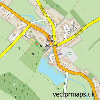
This Hurstbourne Tarrant street map is a detailed vector street map covering a 750m x 750m area. Select a larger area to create and download your own vector street map of Hurstbourne Tarrant.
The 750-metre map sample for Hurstbourne Tarrant covers 200 mapped buildings and approximately 9.4 km of road detail, of which 8 named roads are named. The immediate area includes 1 school and 1 pub. The wider area around Hurstbourne Tarrant features 1 food and drink venue. To create a larger or custom map of Hurstbourne Tarrant, the map builder lets you define your own coverage area and download editable SVG, PDF and PNG files.
Create a larger editable map of Hurstbourne Tarrant
Choose any area you need and generate a high-quality vector map instantly. Perfect for print, planning, design, business and personal use.

This Hurstbourne Tarrant street map in Hampshire is available as downloadable SVG, PDF and PNG map files, or as a printed map for planning, business, display, education, local information and design work. You can also create a larger custom map area using the map selector.
What this Hurstbourne Tarrant map sample shows
Hurstbourne Tarrant lies within Hurstbourne Tarrant Cp parish, part of Bourne Valley ward in the Test Valley District local authority area. The postcode geography for this area includes the SP postcode area, the SP11 postcode district and the SP11 0 postcode sector. Residents fall under the Nhs Hampshire And Isle Of Wight Integrated Care Board for NHS services.
Local features near Hurstbourne Tarrant
Within 2 milesAmenities and services in and around Hurstbourne Tarrant.
Administrative and postcode information for Hurstbourne Tarrant
The local authority covering Hurstbourne Tarrant is Test Valley District, within the county of Hampshire. The settlement lies within Bourne Valley ward and Hurstbourne Tarrant Cp civil parish. The SP11 postcode district and SP11 0 postcode sector serve the immediate area. NHS provision in the area is delivered through Hampshire Hospitals Nhs Foundation Trust.
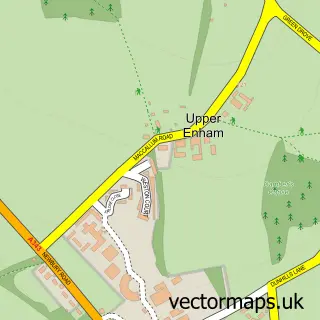
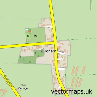
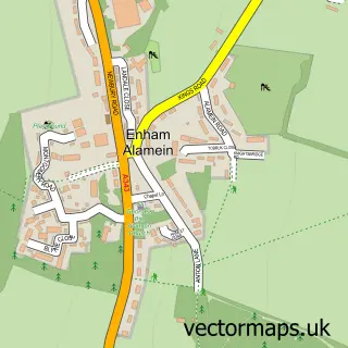
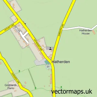
Nearby street map samples around Hurstbourne Tarrant
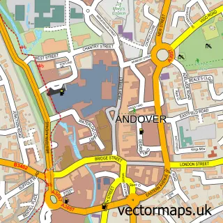

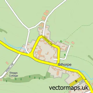
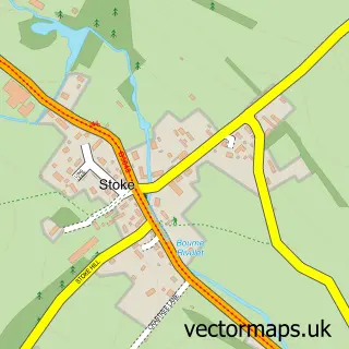
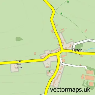
More street maps in Hampshire
750 metre map area coverage
Boundary, postcode and point of interest information for the 750m x 750m rectangle centred on this sample map.
Boundaries containing map centre
Constituency: North West Hampshire Co Const
County: Hampshire County
District: Test Valley District
Icb: NHS Hampshire and Isle of Wight ICB
Parish: Hurstbourne Tarrant CP
Police Force: hampshire
Postcode District: SP11
Postcode Sector: SP11 0
Ward: Bourne Valley Ward
Nearby boundaries intersecting sample
No additional intersecting boundaries found.
Postcode coverage
POI category counts
Taxi Service: 3
Elementary School: 2
Farm: 2
Home Service: 2
Language School: 2
Anglican Church: 1
Bar: 1
Beauty Salon: 1
Cleaning Services: 1
Community Center: 1
Sample points of interest
- St Peter Hurstbourne Tarrant
- Royal British Legion
- The Hair Lounge
- H2oclean
- Hurstbourne Tarrant Community Centre
- Elite BPM Ltd
- Hurstbourne Osteopathy Practice & Sports Injuries Clinic
- Hurstbourne Tarrant Church of England Primary School
- Hurstbourne Tarrant Church of England Primary School
- Charly Edwards Equestrian
- Rural Business Hub
- Escape & Retreat at Frenches Farm
Create a larger editable map of Hurstbourne Tarrant
This sample shows only a 750 metre area. To create a larger map of Hurstbourne Tarrant, use our map builder to choose your own coverage area, add titles and download editable SVG, PDF and PNG files.
Create a custom map of Hurstbourne Tarrant