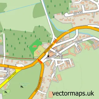
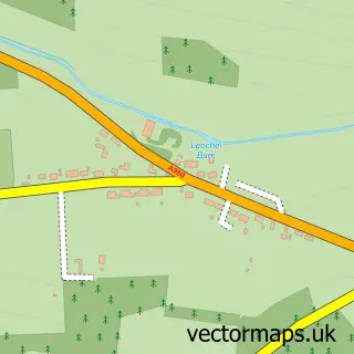
This Kincardine O'Neil street map is a detailed vector street map covering a 750m x 750m area. Select a larger area to create and download your own vector street map of Kincardine O'Neil.
The 750-metre map sample for Kincardine O'Neil covers 62 mapped buildings and approximately 8.6 km of road detail, of which 10 named roads are named. The wider area around Kincardine O'Neil features 1 tourism point of interest. To create a larger or custom map of Kincardine O'Neil, the map builder lets you define your own coverage area and download editable SVG, PDF and PNG files.
Create a larger editable map of Kincardine O'Neil
Choose any area you need and generate a high-quality vector map instantly. Perfect for print, planning, design, business and personal use.

This Kincardine O'Neil street map in Aberdeenshire is available as downloadable SVG, PDF and PNG map files, or as a printed map for planning, business, display, education, local information and design work. You can also create a larger custom map area using the map selector.
What this Kincardine O'Neil map sample shows
Kincardine O'Neil lies within Aberdeenshire parish, part of Banchory And Mid Deeside ward in the Aberdeenshire local authority area. The postcode geography for this area includes the AB postcode area, the AB34 postcode district and the AB34 5 postcode sector. Residents fall under the Grampian for NHS services.
Local features near Kincardine O'Neil
Within 2 milesAmenities and services in and around Kincardine O'Neil.
Administrative and postcode information for Kincardine O'Neil
Kincardine O'Neil lies within Aberdeenshire parish, part of Banchory And Mid Deeside ward in the Aberdeenshire local authority area. The postcode geography for this area includes the AB postcode area, the AB34 postcode district and the AB34 5 postcode sector. Residents fall under the Grampian for NHS services.
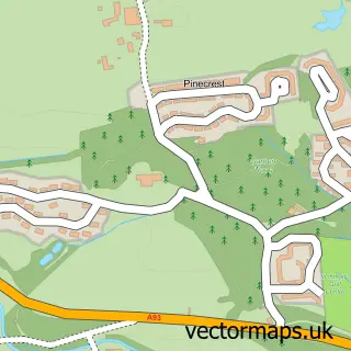
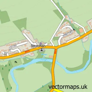
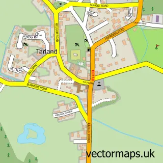
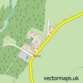
Nearby street map samples around Kincardine O'Neil

More street maps in Aberdeenshire
750 metre map area coverage
Boundary, postcode and point of interest information for the 750m x 750m rectangle centred on this sample map.
Boundaries containing map centre
Constituency: West Aberdeenshire and Kincardine Co Const
District: Aberdeenshire
Icb: Grampian
Postcode District: AB34
Postcode Sector: AB34 5
Ward: Banchory and Mid Deeside Ward
Nearby boundaries intersecting sample
No additional intersecting boundaries found.
Postcode coverage
POI category counts
Bakery: 2
Post Office: 2
Antique Store: 1
Business Management Services: 1
Church Cathedral: 1
Community Services Non Profits: 1
Currency Exchange: 1
Dim Sum Restaurant: 1
Education: 1
Farm: 1
Sample points of interest
- Deeside Antiques
- Kincardine Castle Kitchen
- Love Laura Lane
- Post Office-Kincardine O'Neil
- Christ Church
- Aboyne Judo Club
- Post Office Travel Money
- Golden House
- Kincardine O'Neil School
- Oakwood Market Garden
- J & M Strang
- Mane Attraction - Deeside
Create a larger editable map of Kincardine O'Neil
This sample shows only a 750 metre area. To create a larger map of Kincardine O'Neil, use our map builder to choose your own coverage area, add titles and download editable SVG, PDF and PNG files.
Create a custom map of Kincardine O'Neil