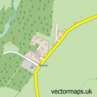
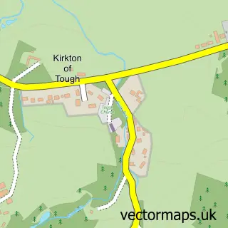
This Torphins street map is a detailed vector street map covering a 750m x 750m area. Select a larger area to create and download your own vector street map of Torphins.
The 750-metre map sample for Torphins covers 375 mapped buildings and approximately 18.9 km of road detail, of which 34 named roads are named. The immediate area includes 1 GP surgery and 1 MOT station within 2 miles. The wider area around Torphins features 2 food and drink venues. To create a larger or custom map of Torphins, the map builder lets you define your own coverage area and download editable SVG, PDF and PNG files.
Create a larger editable map of Torphins
Choose any area you need and generate a high-quality vector map instantly. Perfect for print, planning, design, business and personal use.

This Torphins street map in Aberdeenshire is available as downloadable SVG, PDF and PNG map files, or as a printed map for planning, business, display, education, local information and design work. You can also create a larger custom map area using the map selector.
What this Torphins map sample shows
Torphins lies within Aberdeenshire parish, part of Aboyne, Upper Deeside And Donside ward in the Aberdeenshire local authority area. The postcode geography for this area includes the AB postcode area, the AB31 postcode district and the AB31 4 postcode sector. Residents fall under the Grampian for NHS services.
Local features near Torphins
Within 2 milesAmenities and services in and around Torphins.
Administrative and postcode information for Torphins
Torphins lies within Aberdeenshire parish, part of Aboyne, Upper Deeside And Donside ward in the Aberdeenshire local authority area. The postcode geography for this area includes the AB postcode area, the AB31 postcode district and the AB31 4 postcode sector. Residents fall under the Grampian for NHS services.
Nearby street map samples around Torphins

More street maps in Aberdeenshire
750 metre map area coverage
Boundary, postcode and point of interest information for the 750m x 750m rectangle centred on this sample map.
Boundaries containing map centre
Constituency: West Aberdeenshire and Kincardine Co Const
District: Aberdeenshire
Icb: Grampian
Postcode District: AB31
Postcode Sector: AB31 4
Ward: Aboyne, Upper Deeside and Donside Ward
Nearby boundaries intersecting sample
No additional intersecting boundaries found.
Postcode coverage
POI category counts
Preschool: 3
Beauty Salon: 2
Professional Services: 2
Used Car Dealer: 2
Web Designer: 2
Antique Store: 1
Arts And Crafts: 1
Assisted Living Facility: 1
Beauty And Spa: 1
Building Supply Store: 1
Sample points of interest
- White Rabbit Antiques
- In The Frame
- Abbeyfield House - Torphins
- Eilidhrobertsonhair
- Avenue 23
- Number One Beauty
- Lucy Gray Interiors
- Platform 22
- Mid Deeside Church
- Costa Express
- Learney Hall
- Torphins Community Council
Create a larger editable map of Torphins
This sample shows only a 750 metre area. To create a larger map of Torphins, use our map builder to choose your own coverage area, add titles and download editable SVG, PDF and PNG files.
Create a custom map of Torphins