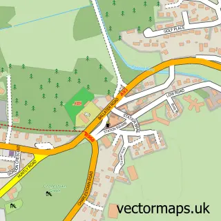
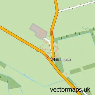
This Lumphanan street map is a detailed vector street map covering a 750m x 750m area. Select a larger area to create and download your own vector street map of Lumphanan.
The 750-metre map sample for Lumphanan covers 213 mapped buildings and approximately 13.6 km of road detail, of which 16 named roads are named. The wider area around Lumphanan features 1 tourism point of interest, 1 food and drink venue and 1 hotel. To create a larger or custom map of Lumphanan, the map builder lets you define your own coverage area and download editable SVG, PDF and PNG files.
Create a larger editable map of Lumphanan
Choose any area you need and generate a high-quality vector map instantly. Perfect for print, planning, design, business and personal use.

This Lumphanan street map in Aberdeenshire is available as downloadable SVG, PDF and PNG map files, or as a printed map for planning, business, display, education, local information and design work. You can also create a larger custom map area using the map selector.
What this Lumphanan map sample shows
Lumphanan lies within Aberdeenshire parish, part of Aboyne, Upper Deeside And Donside ward in the Aberdeenshire local authority area. The postcode geography for this area includes the AB postcode area, the AB31 postcode district and the AB31 4 postcode sector. Residents fall under the Grampian for NHS services.
Local features near Lumphanan
Within 2 milesAmenities and services in and around Lumphanan.
Administrative and postcode information for Lumphanan
The local authority covering Lumphanan is Aberdeenshire, within the county of Aberdeenshire. The settlement lies within Aboyne, Upper Deeside And Donside ward and Aberdeenshire civil parish. The AB31 postcode district and AB31 4 postcode sector serve the immediate area. NHS provision in the area is delivered through Grampian.
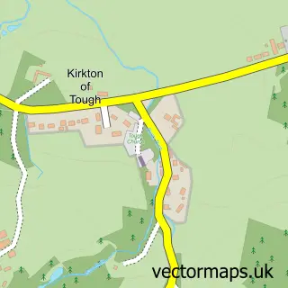
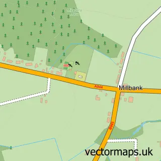
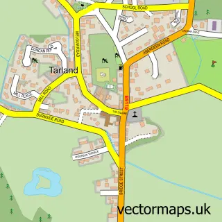
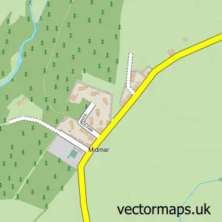
Nearby street map samples around Lumphanan

More street maps in Aberdeenshire
750 metre map area coverage
Boundary, postcode and point of interest information for the 750m x 750m rectangle centred on this sample map.
Boundaries containing map centre
Constituency: West Aberdeenshire and Kincardine Co Const
District: Aberdeenshire
Icb: Grampian
Postcode District: AB31
Postcode Sector: AB31 4
Ward: Aboyne, Upper Deeside and Donside Ward
Nearby boundaries intersecting sample
No additional intersecting boundaries found.
Postcode coverage
POI category counts
Taxi Service: 2
Web Designer: 2
Arts And Crafts: 1
Building Contractor: 1
Building Supply Store: 1
Coffee Shop: 1
Construction Services: 1
Education: 1
Elementary School: 1
Golf Course: 1
Sample points of interest
- The Coo and Thistle
- Graeme Anderson Builder
- Colt Landscaping Ltd
- Meet Again Tea Shop
- Laurdan Deeside
- Aberdeenshire Council
- Lumphanan Primary School
- Lumphanan Golf Club
- Style & Grace
- Macbeth Arms Hotel
- Post Office
- Morven Mortgage Services
Create a larger editable map of Lumphanan
This sample shows only a 750 metre area. To create a larger map of Lumphanan, use our map builder to choose your own coverage area, add titles and download editable SVG, PDF and PNG files.
Create a custom map of Lumphanan