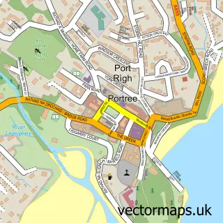
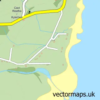
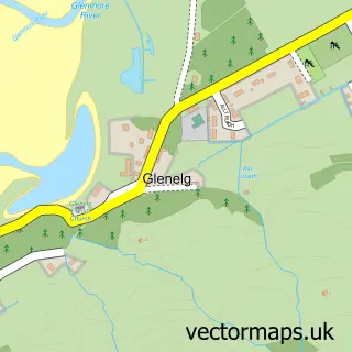
This Kyle of Lochalsh street map is a detailed vector street map covering a 750m x 750m area. Select a larger area to create and download your own vector street map of Kyle of Lochalsh.
The 750-metre map sample for Kyle of Lochalsh covers 84 mapped buildings and approximately 18.9 km of road detail, of which 16 named roads are named. The immediate area includes 1 railway station, 1 GP surgery and 2 MOT stations. The wider area around Kyle of Lochalsh features 3 tourism points of interest, 4 food and drink venues and 3 hotels. To create a larger or custom map of Kyle of Lochalsh, the map builder lets you define your own coverage area and download editable SVG, PDF and PNG files.
Create a larger editable map of Kyle of Lochalsh
Choose any area you need and generate a high-quality vector map instantly. Perfect for print, planning, design, business and personal use.

This Kyle of Lochalsh street map in Ross and Cromarty is available as downloadable SVG, PDF and PNG map files, or as a printed map for planning, business, display, education, local information and design work. You can also create a larger custom map area using the map selector.
What this Kyle of Lochalsh map sample shows
Kyle of Lochalsh lies within Highland parish, part of Wester Ross, Strathpeffer And Lochalsh ward in the Highland local authority area. The postcode geography for this area includes the IV postcode area, the IV40 postcode district and the IV40 8 postcode sector. Residents fall under the Highland for NHS services.
Local features near Kyle of Lochalsh
Within 2 milesAmenities and services in and around Kyle of Lochalsh.
Administrative and postcode information for Kyle of Lochalsh
The local authority covering Kyle of Lochalsh is Highland, within the county of Ross And Cromarty. The settlement lies within Wester Ross, Strathpeffer And Lochalsh ward and Highland civil parish. The IV40 postcode district and IV40 8 postcode sector serve the immediate area. NHS provision in the area is delivered through Highland.
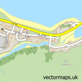
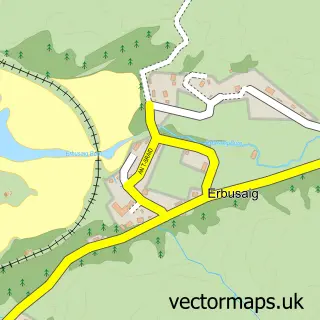
Nearby street map samples around Kyle of Lochalsh

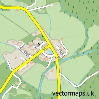
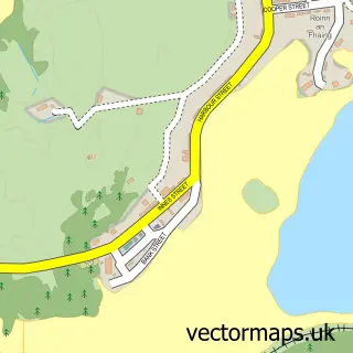
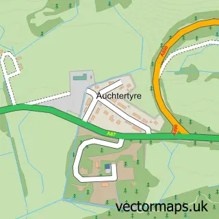
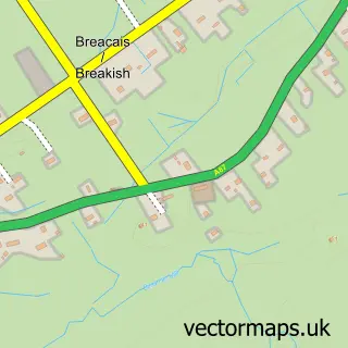
More street maps in Ross and Cromarty
750 metre map area coverage
Boundary, postcode and point of interest information for the 750m x 750m rectangle centred on this sample map.
Boundaries containing map centre
Constituency: Inverness, Skye and West Ross-shire Co Const
District: Highland
Icb: Highland
Postcode District: IV40
Postcode Sector: IV40 8
Ward: Wester Ross, Strathpeffer and Lochalsh Ward
Nearby boundaries intersecting sample
No additional intersecting boundaries found.
Postcode coverage
POI category counts
Bed And Breakfast: 4
Gas Station: 4
Cafe: 3
Church Cathedral: 3
Convenience Store: 3
Hotel: 3
Train Station: 3
Dentist: 2
Flowers And Gifts Shop: 2
Hardware Store: 2
Sample points of interest
- The Old School House, Letterfearn
- HM Coastguard Kyle of Lochalsh
- Skye Bridge Studios
- The Cooperative Food (BF) Kyle of Lochalsh
- Morar Motors Ltd
- RBS
- Community Banker Ferguson MacSween & Stewart Solicitors
- Nor-West Bar
- Aldercroft Beauty
- Ardenlea
- Rasa Sayang
- The Old Bank House Kyle
Create a larger editable map of Kyle of Lochalsh
This sample shows only a 750 metre area. To create a larger map of Kyle of Lochalsh, use our map builder to choose your own coverage area, add titles and download editable SVG, PDF and PNG files.
Create a custom map of Kyle of Lochalsh