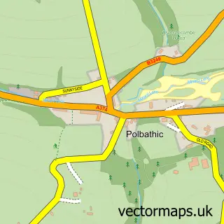
This Landrake street map is a detailed vector street map covering a 750m x 750m area. Select a larger area to create and download your own vector street map of Landrake.
The 750-metre map sample for Landrake covers 179 mapped buildings and approximately 18.0 km of road detail, of which 21 named roads are named. The immediate area includes 1 school, 1 GP surgery within 2 miles, 2 pubs and 3 MOT stations within 2 miles. The wider area around Landrake features 2 food and drink venues. To create a larger or custom map of Landrake, the map builder lets you define your own coverage area and download editable SVG, PDF and PNG files.
Create a larger editable map of Landrake
Choose any area you need and generate a high-quality vector map instantly. Perfect for print, planning, design, business and personal use.

This Landrake street map in Cornwall is available as downloadable SVG, PDF and PNG map files, or as a printed map for planning, business, display, education, local information and design work. You can also create a larger custom map area using the map selector.
What this Landrake map sample shows
Landrake lies within Landrake With St. Erney Cp parish, part of St Germans And Landulph ward in the Cornwall local authority area. The postcode geography for this area includes the PL postcode area, the PL12 postcode district and the PL12 5 postcode sector. Residents fall under the Nhs Cornwall And The Isles Of Scilly Integrated Care Board for NHS services.
Local features near Landrake
Within 2 milesAmenities and services in and around Landrake.
Administrative and postcode information for Landrake
The local authority covering Landrake is Cornwall, within the county of Cornwall. The settlement lies within St Germans And Landulph ward and Landrake With St. Erney Cp civil parish. The PL12 postcode district and PL12 5 postcode sector serve the immediate area. NHS provision in the area is delivered through University Hospitals Plymouth Nhs Trust.
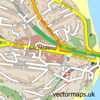
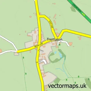
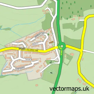
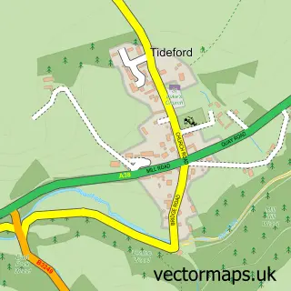
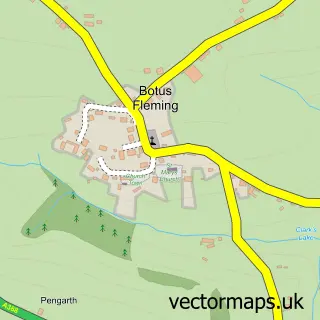
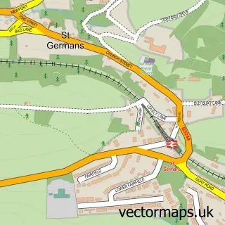
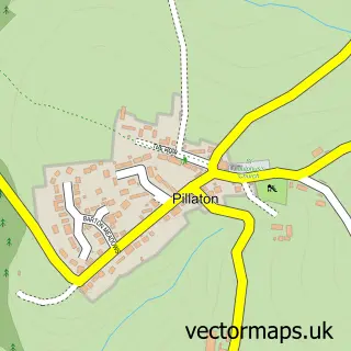
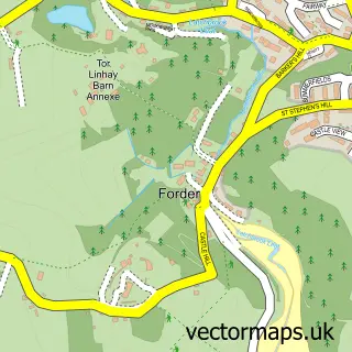
Nearby street map samples around Landrake

More street maps in Cornwall
750 metre map area coverage
Boundary, postcode and point of interest information for the 750m x 750m rectangle centred on this sample map.
Boundaries containing map centre
Constituency: South East Cornwall Co Const
District: Cornwall
Icb: NHS Cornwall and the Isles of Scilly ICB
Parish: Landrake with St. Erney CP
Police Force: devon and cornwall
Postcode District: PL12
Postcode Sector: PL12 5
Nearby boundaries intersecting sample
No additional intersecting boundaries found.
Postcode coverage
POI category counts
Pub: 2
Anglican Church: 1
Automotive Repair: 1
Buddhist Temple: 1
Day Care Preschool: 1
Elementary School: 1
Gym: 1
Pet Boarding: 1
Post Office: 1
Preschool: 1
Sample points of interest
- Landrake: St Michael
- Tamar Vehicle Services
- Janner Heights
- Sir Robert Geffery's Pre School
- Sir Robert Geffery's Primary School
- Lower Tokenbury Equestrian Centre
- Tri-Acre Kennels
- Post Office
- Sir Robert Gefferys School
- Jevs 3D Prints
- Evri ParcelShop
- The Bullers Arms
Create a larger editable map of Landrake
This sample shows only a 750 metre area. To create a larger map of Landrake, use our map builder to choose your own coverage area, add titles and download editable SVG, PDF and PNG files.
Create a custom map of Landrake