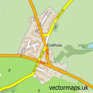
This Polbathic street map is a detailed vector street map covering a 750m x 750m area. Select a larger area to create and download your own vector street map of Polbathic.
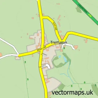
The 750-metre map sample for Polbathic covers 58 mapped buildings and approximately 12.8 km of road detail, of which 2 named roads are named. The immediate area includes 1 GP surgery within 2 miles, 1 pub and 1 MOT station, with 2 within 2 miles. The wider area around Polbathic features 1 food and drink venue, 1 hotel and 1 campsite within 2 miles. To create a larger or custom map of Polbathic, the map builder lets you define your own coverage area and download editable SVG, PDF and PNG files.
Create a larger editable map of Polbathic
Choose any area you need and generate a high-quality vector map instantly. Perfect for print, planning, design, business and personal use.

This Polbathic street map in Cornwall is available as downloadable SVG, PDF and PNG map files, or as a printed map for planning, business, display, education, local information and design work. You can also create a larger custom map area using the map selector.
What this Polbathic map sample shows
Polbathic lies within St. Germans Cp parish, part of St Germans And Landulph ward in the Cornwall local authority area. The postcode geography for this area includes the PL postcode area, the PL11 postcode district and the PL11 3 postcode sector. Residents fall under the Nhs Cornwall And The Isles Of Scilly Integrated Care Board for NHS services.
Local features near Polbathic
Within 2 milesAmenities and services in and around Polbathic.
Administrative and postcode information for Polbathic
Polbathic lies within St. Germans Cp parish, part of St Germans And Landulph ward in the Cornwall local authority area. The postcode geography for this area includes the PL postcode area, the PL11 postcode district and the PL11 3 postcode sector. Residents fall under the Nhs Cornwall And The Isles Of Scilly Integrated Care Board for NHS services.
Nearby street map samples around Polbathic
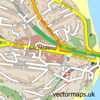

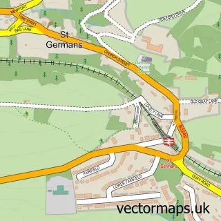
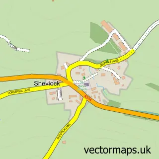
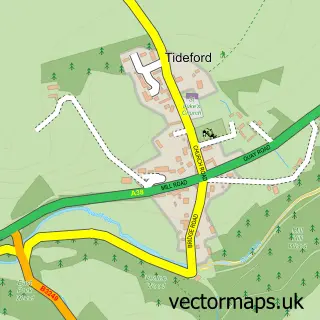
More street maps in Cornwall
750 metre map area coverage
Boundary, postcode and point of interest information for the 750m x 750m rectangle centred on this sample map.
Boundaries containing map centre
Constituency: South East Cornwall Co Const
District: Cornwall
Icb: NHS Cornwall and the Isles of Scilly ICB
Parish: St. Germans CP
Police Force: devon and cornwall
Postcode District: PL11
Postcode Sector: PL11 3
Nearby boundaries intersecting sample
Parish: Deviock CP, Sheviock CP
Postcode District: PL12
Postcode Sector: PL12 5
Postcode coverage
POI category counts
Automotive Repair: 1
Car Wash: 1
Cottage: 1
Gardener: 1
Hotel: 1
Pub: 1
Sample points of interest
- Bumps and Scrapes Bodyshop
- Polbathic hand carwash
- Buttervilla Retreat
- Apollo Bespoke Conservatories
- Ty Hanner
- The Halfway House Pub and Kitchen
Create a larger editable map of Polbathic
This sample shows only a 750 metre area. To create a larger map of Polbathic, use our map builder to choose your own coverage area, add titles and download editable SVG, PDF and PNG files.
Create a custom map of Polbathic