This Tideford street map is a detailed vector street map covering a 750m x 750m area. Select a larger area to create and download your own vector street map of Tideford.
The 750-metre map sample for Tideford covers 80 mapped buildings and approximately 10.0 km of road detail, of which 6 named roads are named. The immediate area includes 1 GP surgery within 2 miles, 2 pubs and 1 MOT station, with 4 within 2 miles. The wider area around Tideford features 2 food and drink venues. To create a larger or custom map of Tideford, the map builder lets you define your own coverage area and download editable SVG, PDF and PNG files.
Create a larger editable map of Tideford
Choose any area you need and generate a high-quality vector map instantly. Perfect for print, planning, design, business and personal use.

This Tideford street map in Cornwall is available as downloadable SVG, PDF and PNG map files, or as a printed map for planning, business, display, education, local information and design work. You can also create a larger custom map area using the map selector.
What this Tideford map sample shows
Tideford lies within St. Germans Cp parish, part of St Germans And Landulph ward in the Cornwall local authority area. The postcode geography for this area includes the PL postcode area, the PL12 postcode district and the PL12 5 postcode sector. Residents fall under the Nhs Cornwall And The Isles Of Scilly Integrated Care Board for NHS services.
Local features near Tideford
Within 2 milesAmenities and services in and around Tideford.
Administrative and postcode information for Tideford
Tideford lies within St. Germans Cp parish, part of St Germans And Landulph ward in the Cornwall local authority area. The postcode geography for this area includes the PL postcode area, the PL12 postcode district and the PL12 5 postcode sector. Residents fall under the Nhs Cornwall And The Isles Of Scilly Integrated Care Board for NHS services.
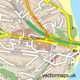
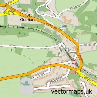
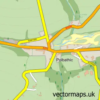
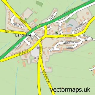
Nearby street map samples around Tideford


More street maps in Cornwall
750 metre map area coverage
Boundary, postcode and point of interest information for the 750m x 750m rectangle centred on this sample map.
Boundaries containing map centre
Constituency: South East Cornwall Co Const
District: Cornwall
Icb: NHS Cornwall and the Isles of Scilly ICB
Parish: St. Germans CP
Police Force: devon and cornwall
Postcode District: PL12
Postcode Sector: PL12 5
Nearby boundaries intersecting sample
No additional intersecting boundaries found.
Postcode coverage
POI category counts
Post Office: 3
Jewelry Store: 2
Pub: 2
Accountant: 1
Anglican Church: 1
Bar: 1
Building Supply Store: 1
Butcher Shop: 1
Candle Store: 1
Doctor: 1
Sample points of interest
- Aclass Accountancy Services
- Tideford: St Luke
- British Legion Tideford
- Southwest Greens UK
- Paul Bray & Son
- Couples Candles Ltd.
- Quay Lane Surgery
- Tidy house cleaning & housekeeping services
- Fitzearle Jewellery
- Perfectly Precious
- Tiny Tudor houses Ltd
- The Royal British Legion
Create a larger editable map of Tideford
This sample shows only a 750 metre area. To create a larger map of Tideford, use our map builder to choose your own coverage area, add titles and download editable SVG, PDF and PNG files.
Create a custom map of Tideford