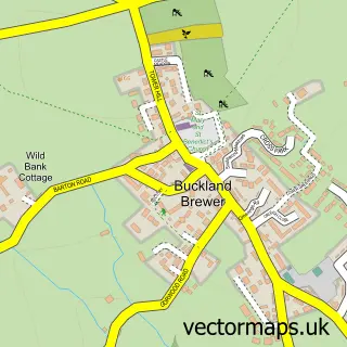
This Langtree street map is a detailed vector street map covering a 750m x 750m area. Select a larger area to create and download your own vector street map of Langtree.
The 750-metre map sample for Langtree covers 126 mapped buildings and approximately 5.9 km of road detail, of which 6 named roads are named. The immediate area includes 1 school. To create a larger or custom map of Langtree, the map builder lets you define your own coverage area and download editable SVG, PDF and PNG files.
Create a larger editable map of Langtree
Choose any area you need and generate a high-quality vector map instantly. Perfect for print, planning, design, business and personal use.

This Langtree street map in Devon is available as downloadable SVG, PDF and PNG map files, or as a printed map for planning, business, display, education, local information and design work. You can also create a larger custom map area using the map selector.
What this Langtree map sample shows
Langtree lies within Langtree Cp parish, part of Shebbear & Langtree ward in the Torridge District local authority area. The postcode geography for this area includes the EX postcode area, the EX38 postcode district and the EX38 8 postcode sector. Residents fall under the Nhs Devon Integrated Care Board for NHS services.
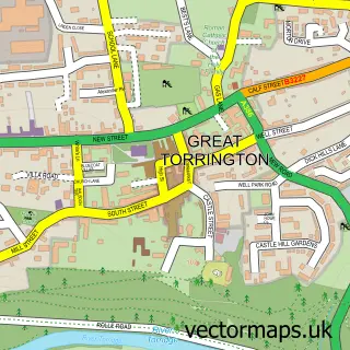
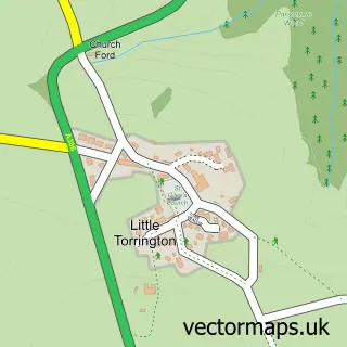
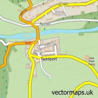
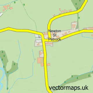
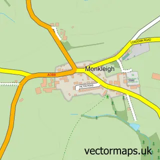
Local features near Langtree
Within 2 milesAmenities and services in and around Langtree.
Administrative and postcode information for Langtree
Langtree lies within Langtree Cp parish, part of Shebbear & Langtree ward in the Torridge District local authority area. The postcode geography for this area includes the EX postcode area, the EX38 postcode district and the EX38 8 postcode sector. Residents fall under the Nhs Devon Integrated Care Board for NHS services.
Nearby street map samples around Langtree

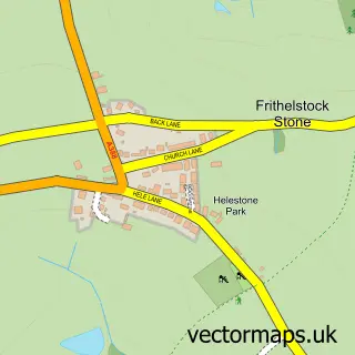
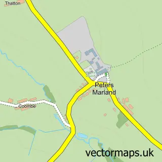
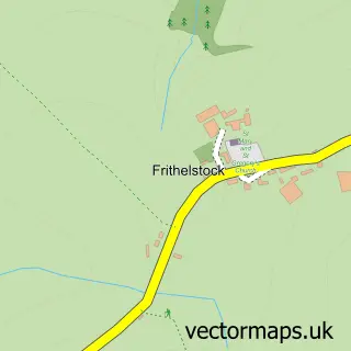
More street maps in Devon
750 metre map area coverage
Boundary, postcode and point of interest information for the 750m x 750m rectangle centred on this sample map.
Boundaries containing map centre
Constituency: Torridge and Tavistock Co Const
County: Devon County
District: Torridge District
Icb: NHS Devon ICB
Parish: Langtree CP
Police Force: devon and cornwall
Postcode District: EX38
Postcode Sector: EX38 8
Ward: Shebbear & Langtree Ward
Nearby boundaries intersecting sample
No additional intersecting boundaries found.
Postcode coverage
POI category counts
Active Life: 1
Amateur Sports Team: 1
Anglican Church: 1
Cinema: 1
Community Services Non Profits: 1
Cottage: 1
Driving School: 1
Elementary School: 1
Garbage Collection Service: 1
Grocery Store: 1
Sample points of interest
- Langtree MUGA Sports & Recreation
- Langtree Lions Football Club
- All Saints, Langtree
- The Plough Arts Centre, Torrington
- Langtree Parish Hall
- Thorne Farm Holiday Cottages
- Freedommotoring.co.uk
- Langtree Community School and Nursery
- A39 Skip Hire
- Langtree Indoor Market
- Mandeja Heavenly
- Treasured Images
Create a larger editable map of Langtree
This sample shows only a 750 metre area. To create a larger map of Langtree, use our map builder to choose your own coverage area, add titles and download editable SVG, PDF and PNG files.
Create a custom map of Langtree