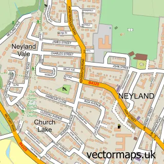
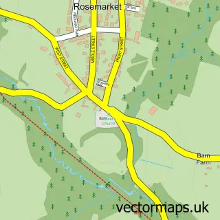
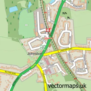
This Llangwm street map is a detailed vector street map covering a 750m x 750m area. Select a larger area to create and download your own vector street map of Llangwm.
The 750-metre map sample for Llangwm covers 176 mapped buildings and approximately 9.7 km of road detail, of which 13 named roads are named. The immediate area includes 1 school, 1 GP surgery, 1 pub and 1 MOT station within 2 miles. The wider area around Llangwm features 1 tourism point of interest, 1 food and drink venue and 1 hotel. To create a larger or custom map of Llangwm, the map builder lets you define your own coverage area and download editable SVG, PDF and PNG files.
Create a larger editable map of Llangwm
Choose any area you need and generate a high-quality vector map instantly. Perfect for print, planning, design, business and personal use.

This Llangwm street map in Dyfed is available as downloadable SVG, PDF and PNG map files, or as a printed map for planning, business, display, education, local information and design work. You can also create a larger custom map area using the map selector.
What this Llangwm map sample shows
Llangwm lies within Llangwm Community parish, part of Llangwm ward in the Sir Benfro - Pembrokeshire local authority area. The postcode geography for this area includes the SA postcode area, the SA62 postcode district and the SA62 4 postcode sector. Residents fall under the Hywel Dda University Health Board for NHS services.
Local features near Llangwm
Within 2 milesAmenities and services in and around Llangwm.
Administrative and postcode information for Llangwm
Llangwm lies within Llangwm Community parish, part of Llangwm ward in the Sir Benfro - Pembrokeshire local authority area. The postcode geography for this area includes the SA postcode area, the SA62 postcode district and the SA62 4 postcode sector. Residents fall under the Hywel Dda University Health Board for NHS services.
Nearby street map samples around Llangwm

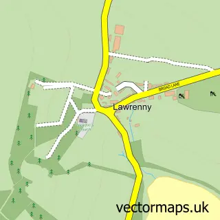
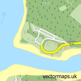
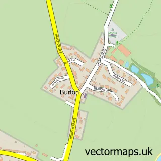
More street maps in Dyfed
750 metre map area coverage
Boundary, postcode and point of interest information for the 750m x 750m rectangle centred on this sample map.
Boundaries containing map centre
Constituency: Mid and South Pembrokeshire Co Const
District: Sir Benfro - Pembrokeshire
Icb: Hywel Dda
Parish: Llangwm Community
Police Force: dyfed-powys
Postcode District: SA62
Postcode Sector: SA62 4
Nearby boundaries intersecting sample
Parish: Burton Community
Postcode coverage
POI category counts
Shipping Center: 2
Sports Club And League: 2
Currency Exchange: 1
Elementary School: 1
Food Beverage Service Distribution: 1
Gardener: 1
Home Security: 1
Hotel: 1
Information Technology Company: 1
Music And Dvd Store: 1
Sample points of interest
- Post Office Travel Money
- Cleddau Reach VC School
- Shindigz
- Ladybird Landscapes
- AB Security and Electrical
- Oysterbank Cottage
- Theropod Design
- Neil Martin Brass & Woodwind Repairs
- Brass and Woodwind Repairs
- Pill Park, Llangwm
- The Cottage Inn
- Llangwm Post Office
Create a larger editable map of Llangwm
This sample shows only a 750 metre area. To create a larger map of Llangwm, use our map builder to choose your own coverage area, add titles and download editable SVG, PDF and PNG files.
Create a custom map of Llangwm