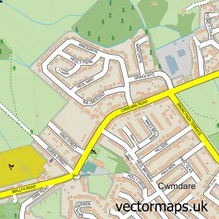
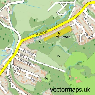
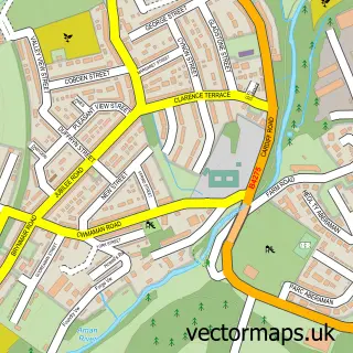
This Llwydcoed street map is a detailed vector street map covering a 750m x 750m area. Select a larger area to create and download your own vector street map of Llwydcoed.
The 750-metre map sample for Llwydcoed covers 285 mapped buildings and approximately 10.3 km of road detail, of which 20 named roads are named. The immediate area includes 2 GP surgeries within 2 miles and 3 MOT stations within 2 miles. To create a larger or custom map of Llwydcoed, the map builder lets you define your own coverage area and download editable SVG, PDF and PNG files.
Create a larger editable map of Llwydcoed
Choose any area you need and generate a high-quality vector map instantly. Perfect for print, planning, design, business and personal use.

This Llwydcoed street map in Mid Glamorgan is available as downloadable SVG, PDF and PNG map files, or as a printed map for planning, business, display, education, local information and design work. You can also create a larger custom map area using the map selector.
What this Llwydcoed map sample shows
Llwydcoed lies within Llwydcoed Community parish, part of Aberdare West/Llwydcoed ward in the Rhondda Cynon Taf - Rhondda Cynon Taf local authority area. The postcode geography for this area includes the CF postcode area, the CF44 postcode district and the CF44 0 postcode sector. Residents fall under the Cwm Taf University Health Board for NHS services.
Local features near Llwydcoed
Within 2 milesAmenities and services in and around Llwydcoed.
Administrative and postcode information for Llwydcoed
Llwydcoed lies within Llwydcoed Community parish, part of Aberdare West/Llwydcoed ward in the Rhondda Cynon Taf - Rhondda Cynon Taf local authority area. The postcode geography for this area includes the CF postcode area, the CF44 postcode district and the CF44 0 postcode sector. Residents fall under the Cwm Taf University Health Board for NHS services.
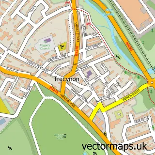
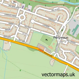
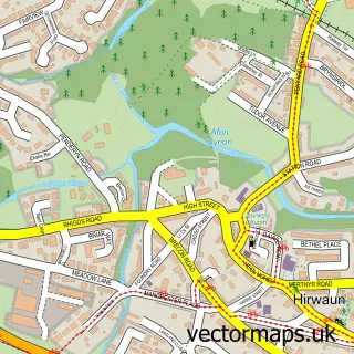
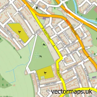
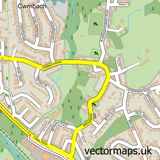
Nearby street map samples around Llwydcoed
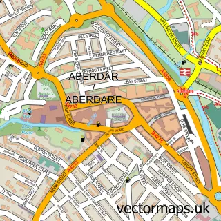

More street maps in Mid Glamorgan
750 metre map area coverage
Boundary, postcode and point of interest information for the 750m x 750m rectangle centred on this sample map.
Boundaries containing map centre
Constituency: Merthyr Tydfil and Aberdare Co Const
District: Rhondda Cynon Taf - Rhondda Cynon Taf
Icb: Cwm Taf University
Parish: Llwydcoed Community
Police Force: south wales
Postcode District: CF44
Postcode Sector: CF44 0
Nearby boundaries intersecting sample
Parish: Aberdare West Community
Postcode Sector: CF44 8
Postcode coverage
POI category counts
Carpenter: 2
Beauty Salon: 1
Building Supply Store: 1
Convenience Store: 1
Courier And Delivery Services: 1
Dog Walkers: 1
Education: 1
Elementary School: 1
Food: 1
Landscaping: 1
Sample points of interest
- Couture Aesthetics
- A & M Electrical
- Door 2 Door
- Door2Door Carpentry Services
- Family Shopper
- Evri ParcelShop
- We Love Pets
- Rhondda Cynon Taff Council
- Llwydcoed Primary School
- Ali Baba Kebab, Pizza & Burgers
- South Wales Artificial Lawns
- Business English Training
Create a larger editable map of Llwydcoed
This sample shows only a 750 metre area. To create a larger map of Llwydcoed, use our map builder to choose your own coverage area, add titles and download editable SVG, PDF and PNG files.
Create a custom map of Llwydcoed