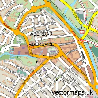
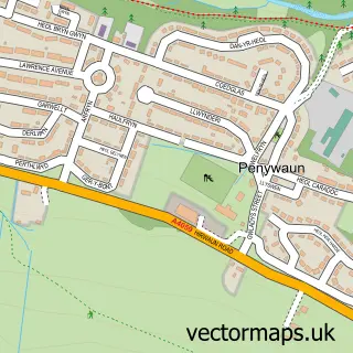
This Trecynon street map is a detailed vector street map covering a 750m x 750m area. Select a larger area to create and download your own vector street map of Trecynon.
The 750-metre map sample for Trecynon covers 339 mapped buildings and approximately 23.3 km of road detail, of which 31 named roads are named. The immediate area includes 1 GP surgery, with 3 within 2 miles, 2 pubs and 1 MOT station, with 5 within 2 miles. The wider area around Trecynon features 5 tourism points of interest and 4 food and drink venues. To create a larger or custom map of Trecynon, the map builder lets you define your own coverage area and download editable SVG, PDF and PNG files.
Create a larger editable map of Trecynon
Choose any area you need and generate a high-quality vector map instantly. Perfect for print, planning, design, business and personal use.

This Trecynon street map in Mid Glamorgan is available as downloadable SVG, PDF and PNG map files, or as a printed map for planning, business, display, education, local information and design work. You can also create a larger custom map area using the map selector.
What this Trecynon map sample shows
Trecynon lies within Aberdare West Community parish, part of Aberdare West/Llwydcoed ward in the Rhondda Cynon Taf - Rhondda Cynon Taf local authority area. The postcode geography for this area includes the CF postcode area, the CF44 postcode district and the CF44 8 postcode sector. Residents fall under the Cwm Taf University Health Board for NHS services.
Local features near Trecynon
Within 2 milesAmenities and services in and around Trecynon.
Administrative and postcode information for Trecynon
The local authority covering Trecynon is Rhondda Cynon Taf - Rhondda Cynon Taf, within the county of Mid Glamorgan. The settlement lies within Aberdare West/Llwydcoed ward and Aberdare West Community civil parish. The CF44 postcode district and CF44 8 postcode sector serve the immediate area. NHS provision in the area is delivered through Cwm Taf Morgannwg University Health Board.
Nearby street map samples around Trecynon

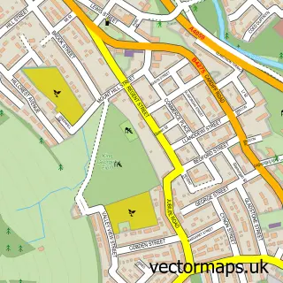
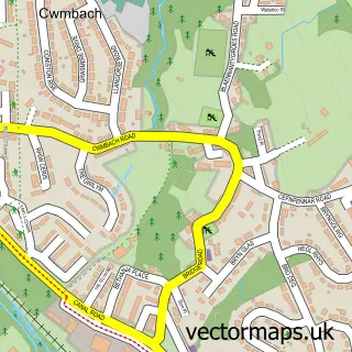
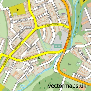
More street maps in Mid Glamorgan
750 metre map area coverage
Boundary, postcode and point of interest information for the 750m x 750m rectangle centred on this sample map.
Boundaries containing map centre
Constituency: Merthyr Tydfil and Aberdare Co Const
District: Rhondda Cynon Taf - Rhondda Cynon Taf
Icb: Cwm Taf University
Parish: Aberdare West Community
Police Force: south wales
Postcode District: CF44
Postcode Sector: CF44 8
Nearby boundaries intersecting sample
Parish: Llwydcoed Community
Postcode Sector: CF44 0
Postcode coverage
POI category counts
Church Cathedral: 5
Convenience Store: 3
Park: 3
Shipping Center: 3
Bakery: 2
Beauty Salon: 2
Elementary School: 2
Flooring Contractors: 2
Landmark And Historical Building: 2
Printing Services: 2
Sample points of interest
- Tell Tale Films
- Laurels Residential Home
- KTA General Store/Lifestyle Express
- G. James Electrical Ltd.
- Aberdare Motorcycle Co
- G & L Auto Services
- Creative cakes by kirsty
- Crust and Crumbs
- Bryn Sion Baptist Church
- Red Cow, Llwydcoed
- L C - Barbers
- Carys Smith hair salon
Create a larger editable map of Trecynon
This sample shows only a 750 metre area. To create a larger map of Trecynon, use our map builder to choose your own coverage area, add titles and download editable SVG, PDF and PNG files.
Create a custom map of Trecynon