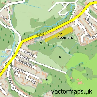
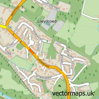
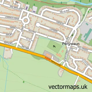
This Aberdare street map is a detailed vector street map covering a 750m x 750m area. Select a larger area to create and download your own vector street map of Aberdare.
The 750-metre map sample for Aberdare covers 322 mapped buildings and approximately 90.3 km of road detail, of which 69 named roads are named. The immediate area includes 1 school, 1 railway station, 1 GP surgery, with 4 within 2 miles and 16 pubs among other local services. The wider area around Aberdare features 37 food and drink venues. To create a larger or custom map of Aberdare, the map builder lets you define your own coverage area and download editable SVG, PDF and PNG files.
Create a larger editable map of Aberdare
Choose any area you need and generate a high-quality vector map instantly. Perfect for print, planning, design, business and personal use.

This Aberdare street map in Mid Glamorgan is available as downloadable SVG, PDF and PNG map files, or as a printed map for planning, business, display, education, local information and design work. You can also create a larger custom map area using the map selector.
What this Aberdare map sample shows
Aberdare lies within Aberdare East Community parish, part of Aberdare East ward in the Rhondda Cynon Taf - Rhondda Cynon Taf local authority area. The postcode geography for this area includes the CF postcode area, the CF44 postcode district and the CF44 7 postcode sector. Residents fall under the Cwm Taf University Health Board for NHS services.
Local features near Aberdare
Within 2 milesAmenities and services in and around Aberdare.
Administrative and postcode information for Aberdare
Aberdare lies within Aberdare East Community parish, part of Aberdare East ward in the Rhondda Cynon Taf - Rhondda Cynon Taf local authority area. The postcode geography for this area includes the CF postcode area, the CF44 postcode district and the CF44 7 postcode sector. Residents fall under the Cwm Taf University Health Board for NHS services.
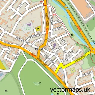
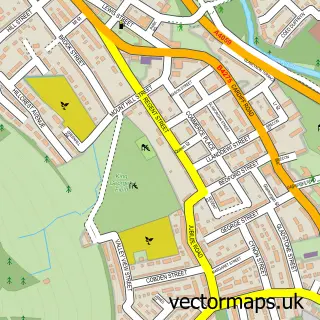
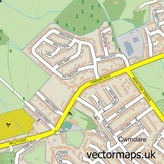
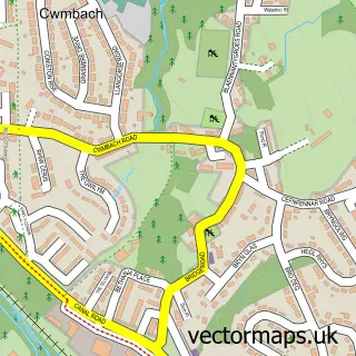
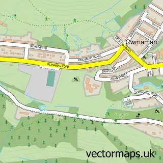
Nearby street map samples around Aberdare

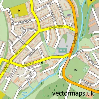
More street maps in Mid Glamorgan
750 metre map area coverage
Boundary, postcode and point of interest information for the 750m x 750m rectangle centred on this sample map.
Boundaries containing map centre
Constituency: Merthyr Tydfil and Aberdare Co Const
District: Rhondda Cynon Taf - Rhondda Cynon Taf
Icb: Cwm Taf University
Parish: Aberdare East Community
Police Force: south wales
Postcode District: CF44
Postcode Sector: CF44 7
Nearby boundaries intersecting sample
Parish: Aberdare West Community
Postcode Sector: CF44 0, CF44 8
Postcode coverage
POI category counts
Pub: 16
Barber: 13
Beauty Salon: 13
Hair Salon: 10
Cafe: 9
Church Cathedral: 9
Fast Food Restaurant: 9
Building Supply Store: 8
Clothing Store: 8
Flowers And Gifts Shop: 8
Sample points of interest
- Barod
- Gadlys
- Azets
- K T S
- Cardiff GC Pro Shop
- Aberdare Adult Education Centre
- St John Ambulance Aberdare, Depot Road, Aberdare
- T Y Hafan
- A1 Electrical Aplpliances
- Deep Blue Aquatics
- The Twisted Willows Holistic Therapies
- Mystic Cow Arts and Crafts
Create a larger editable map of Aberdare
This sample shows only a 750 metre area. To create a larger map of Aberdare, use our map builder to choose your own coverage area, add titles and download editable SVG, PDF and PNG files.
Create a custom map of Aberdare