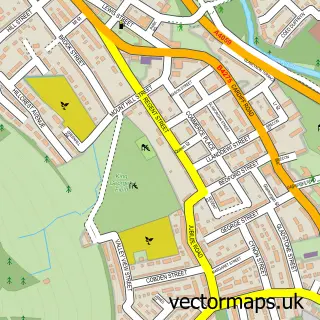
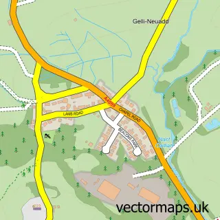
This Penywaun street map is a detailed vector street map covering a 750m x 750m area. Select a larger area to create and download your own vector street map of Penywaun.
The 750-metre map sample for Penywaun covers 326 mapped buildings and approximately 15.9 km of road detail, of which 24 named roads are named. The immediate area includes 1 school, 2 GP surgeries within 2 miles and 4 MOT stations within 2 miles. The wider area around Penywaun features 2 tourism points of interest and 1 food and drink venue. To create a larger or custom map of Penywaun, the map builder lets you define your own coverage area and download editable SVG, PDF and PNG files.
Create a larger editable map of Penywaun
Choose any area you need and generate a high-quality vector map instantly. Perfect for print, planning, design, business and personal use.

This Penywaun street map in Mid Glamorgan is available as downloadable SVG, PDF and PNG map files, or as a printed map for planning, business, display, education, local information and design work. You can also create a larger custom map area using the map selector.
What this Penywaun map sample shows
Penywaun lies within Aberdare West Community parish, part of Aberdare West/Llwydcoed ward in the Rhondda Cynon Taf - Rhondda Cynon Taf local authority area. The postcode geography for this area includes the CF postcode area, the CF44 postcode district and the CF44 9 postcode sector. Residents fall under the Cwm Taf University Health Board for NHS services.
Local features near Penywaun
Within 2 milesAmenities and services in and around Penywaun.
Administrative and postcode information for Penywaun
Penywaun lies within Aberdare West Community parish, part of Aberdare West/Llwydcoed ward in the Rhondda Cynon Taf - Rhondda Cynon Taf local authority area. The postcode geography for this area includes the CF postcode area, the CF44 postcode district and the CF44 9 postcode sector. Residents fall under the Cwm Taf University Health Board for NHS services.
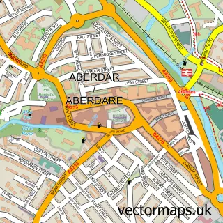
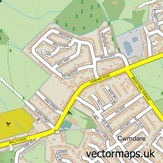
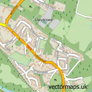
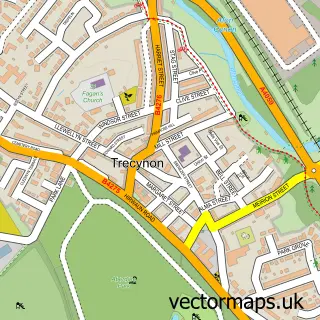
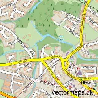
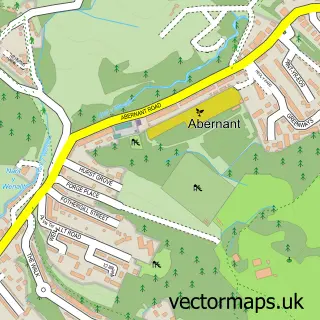
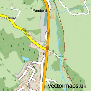
Nearby street map samples around Penywaun

More street maps in Mid Glamorgan
750 metre map area coverage
Boundary, postcode and point of interest information for the 750m x 750m rectangle centred on this sample map.
Boundaries containing map centre
Constituency: Merthyr Tydfil and Aberdare Co Const
District: Rhondda Cynon Taf - Rhondda Cynon Taf
Icb: Cwm Taf University
Parish: Pen-y-waun Community
Police Force: south wales
Postcode District: CF44
Postcode Sector: CF44 9
Nearby boundaries intersecting sample
No additional intersecting boundaries found.
Postcode coverage
POI category counts
Church Cathedral: 3
Elementary School: 2
Professional Services: 2
Beauty Salon: 1
Cafe: 1
Charity Organization: 1
Community Services Non Profits: 1
Credit Union: 1
Eat And Drink: 1
Hair Salon: 1
Sample points of interest
- Beauty by Jenna Louise
- Penywaun Fish Bar
- CRT Together
- Oasis House
- St Lleurwgs
- St Winifred's Church
- Hwb Cana
- Smart Money Cymru Community Bank - Penywaun
- Hungry Hippo Hut
- Penywaun Primary School
- Penywaun Primary School
- NK Styles
Create a larger editable map of Penywaun
This sample shows only a 750 metre area. To create a larger map of Penywaun, use our map builder to choose your own coverage area, add titles and download editable SVG, PDF and PNG files.
Create a custom map of Penywaun