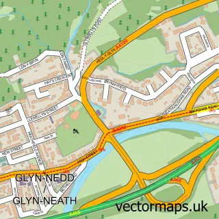
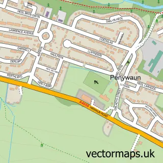
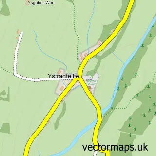
This Pontbren street map is a detailed vector street map covering a 750m x 750m area. Select a larger area to create and download your own vector street map of Pontbren.
The 750-metre map sample for Pontbren covers 112 mapped buildings and approximately 7.4 km of road detail, of which 5 named roads are named. The immediate area includes 1 school and 3 MOT stations within 2 miles. The wider area around Pontbren features 1 tourism point of interest. To create a larger or custom map of Pontbren, the map builder lets you define your own coverage area and download editable SVG, PDF and PNG files.
Create a larger editable map of Pontbren
Choose any area you need and generate a high-quality vector map instantly. Perfect for print, planning, design, business and personal use.

This Pontbren street map in Mid Glamorgan is available as downloadable SVG, PDF and PNG map files, or as a printed map for planning, business, display, education, local information and design work. You can also create a larger custom map area using the map selector.
What this Pontbren map sample shows
Pontbren lies within Hirwaun Community parish, part of Rhigos ward in the Rhondda Cynon Taf - Rhondda Cynon Taf local authority area. The postcode geography for this area includes the CF postcode area, the CF44 postcode district and the CF44 9 postcode sector. Residents fall under the Cwm Taf University Health Board for NHS services.
Local features near Pontbren
Within 2 milesAmenities and services in and around Pontbren.
Administrative and postcode information for Pontbren
Pontbren lies within Hirwaun Community parish, part of Rhigos ward in the Rhondda Cynon Taf - Rhondda Cynon Taf local authority area. The postcode geography for this area includes the CF postcode area, the CF44 postcode district and the CF44 9 postcode sector. Residents fall under the Cwm Taf University Health Board for NHS services.
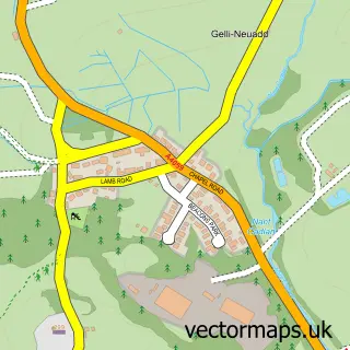
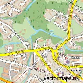
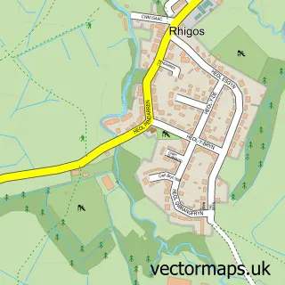
Nearby street map samples around Pontbren

More street maps in Mid Glamorgan
750 metre map area coverage
Boundary, postcode and point of interest information for the 750m x 750m rectangle centred on this sample map.
Boundaries containing map centre
Constituency: Merthyr Tydfil and Aberdare Co Const
District: Rhondda Cynon Taf - Rhondda Cynon Taf
Icb: Cwm Taf University
Parish: Hirwaun Community
Police Force: south wales
Postcode District: CF44
Postcode Sector: CF44 9
Nearby boundaries intersecting sample
Postcode Sector: CF44 0
Postcode coverage
POI category counts
Distillery: 3
Community Center: 2
Church Cathedral: 1
Day Care Preschool: 1
Education: 1
Farmers Market: 1
Naturopathic Holistic: 1
Park: 1
Shopping: 1
Whiskey Bar: 1
Sample points of interest
- St Cynog's Church Penderyn
- Penderyn Community Centre
- Penderyn Village Pantry
- Cylch Meithrin Penderyn
- Penderyn (whisky)
- Penderyn Distillery
- The Welsh Whisky Co Ltd
- Penderyn Primary School
- Penderyn Farmers & Craft Market
- The Crystal Haven
- FenWalking
- Sakertool
Create a larger editable map of Pontbren
This sample shows only a 750 metre area. To create a larger map of Pontbren, use our map builder to choose your own coverage area, add titles and download editable SVG, PDF and PNG files.
Create a custom map of Pontbren