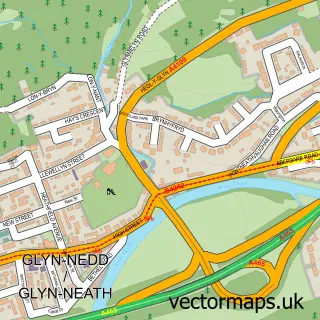
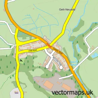
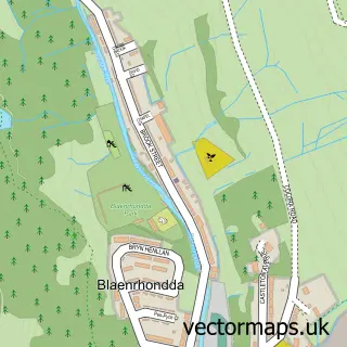
This Rhigos street map is a detailed vector street map covering a 750m x 750m area. Select a larger area to create and download your own vector street map of Rhigos.
The 750-metre map sample for Rhigos covers 169 mapped buildings and approximately 6.4 km of road detail, of which 12 named roads are named. The immediate area includes 4 MOT stations within 2 miles. To create a larger or custom map of Rhigos, the map builder lets you define your own coverage area and download editable SVG, PDF and PNG files.
Create a larger editable map of Rhigos
Choose any area you need and generate a high-quality vector map instantly. Perfect for print, planning, design, business and personal use.

This Rhigos street map in Mid Glamorgan is available as downloadable SVG, PDF and PNG map files, or as a printed map for planning, business, display, education, local information and design work. You can also create a larger custom map area using the map selector.
What this Rhigos map sample shows
Rhigos lies within Rhigos Community parish, part of Rhigos ward in the Rhondda Cynon Taf - Rhondda Cynon Taf local authority area. The postcode geography for this area includes the CF postcode area, the CF44 postcode district and the CF44 9 postcode sector. Residents fall under the Cwm Taf University Health Board for NHS services.
Local features near Rhigos
Within 2 milesAmenities and services in and around Rhigos.
Administrative and postcode information for Rhigos
Rhigos lies within Rhigos Community parish, part of Rhigos ward in the Rhondda Cynon Taf - Rhondda Cynon Taf local authority area. The postcode geography for this area includes the CF postcode area, the CF44 postcode district and the CF44 9 postcode sector. Residents fall under the Cwm Taf University Health Board for NHS services.
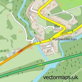
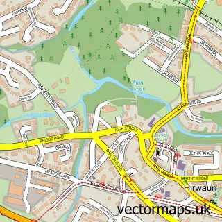
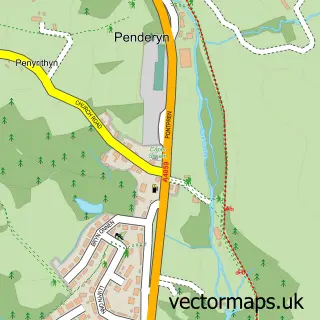
Nearby street map samples around Rhigos


More street maps in Mid Glamorgan
750 metre map area coverage
Boundary, postcode and point of interest information for the 750m x 750m rectangle centred on this sample map.
Boundaries containing map centre
Constituency: Merthyr Tydfil and Aberdare Co Const
District: Rhondda Cynon Taf - Rhondda Cynon Taf
Icb: Cwm Taf University
Parish: Rhigos Community
Police Force: south wales
Postcode District: CF44
Postcode Sector: CF44 9
Nearby boundaries intersecting sample
No additional intersecting boundaries found.
Postcode coverage
POI category counts
Sports Club And League: 2
Atms: 1
Bridal Shop: 1
Convenience Store: 1
Counseling And Mental Health: 1
Garbage Collection Service: 1
Land Surveying: 1
Sports And Recreation Venue: 1
Structure And Geography: 1
Sample points of interest
- PayPoint
- JKL Productions
- Premier
- Adapt Mental Health
- Amgen Cymru
- Precision Land Surveyors (Wales) Ltd
- Rhigos Community Sports Hall
- Rhigos Community Sports Hall
- Rhigos Rugby Football Club
- Llyn Fawr Reservoir
Create a larger editable map of Rhigos
This sample shows only a 750 metre area. To create a larger map of Rhigos, use our map builder to choose your own coverage area, add titles and download editable SVG, PDF and PNG files.
Create a custom map of Rhigos