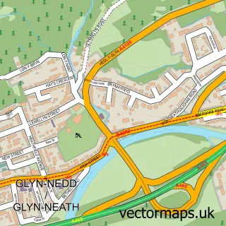
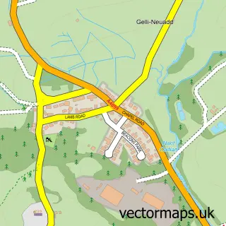
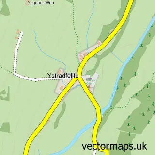
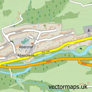
This Pontneddfechan street map is a detailed vector street map covering a 750m x 750m area. Select a larger area to create and download your own vector street map of Pontneddfechan.
The 750-metre map sample for Pontneddfechan covers 129 mapped buildings and approximately 21.1 km of road detail, of which 8 named roads are named. The immediate area includes 2 pubs and 3 MOT stations within 2 miles. The wider area around Pontneddfechan features 4 tourism points of interest and 4 food and drink venues. To create a larger or custom map of Pontneddfechan, the map builder lets you define your own coverage area and download editable SVG, PDF and PNG files.
Create a larger editable map of Pontneddfechan
Choose any area you need and generate a high-quality vector map instantly. Perfect for print, planning, design, business and personal use.

This Pontneddfechan street map in Powys is available as downloadable SVG, PDF and PNG map files, or as a printed map for planning, business, display, education, local information and design work. You can also create a larger custom map area using the map selector.
What this Pontneddfechan map sample shows
Pontneddfechan lies within Ystradfellte Community parish, part of Tawe-Uchaf ward in the Powys - Powys local authority area. The postcode geography for this area includes the SA postcode area, the SA11 postcode district and the SA11 5 postcode sector. Residents fall under the Powys Teaching Health Board for NHS services.
Local features near Pontneddfechan
Within 2 milesAmenities and services in and around Pontneddfechan.
Administrative and postcode information for Pontneddfechan
Pontneddfechan lies within Ystradfellte Community parish, part of Tawe-Uchaf ward in the Powys - Powys local authority area. The postcode geography for this area includes the SA postcode area, the SA11 postcode district and the SA11 5 postcode sector. Residents fall under the Powys Teaching Health Board for NHS services.
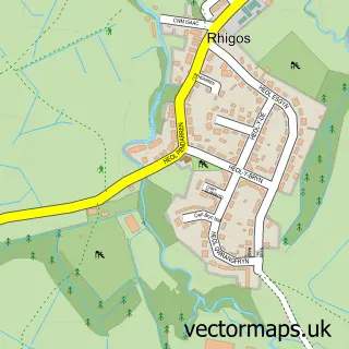
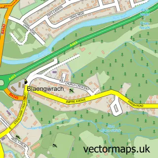
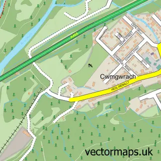
Nearby street map samples around Pontneddfechan


More street maps in Powys
750 metre map area coverage
Boundary, postcode and point of interest information for the 750m x 750m rectangle centred on this sample map.
Boundaries containing map centre
Constituency: Brecon, Radnor and Cwm Tawe Co Const
District: Powys - Powys
Icb: Powys Teaching
Parish: Ystradfellte Community
Police Force: dyfed-powys, south wales
Postcode District: SA11
Postcode Sector: SA11 5
Nearby boundaries intersecting sample
Constituency: Merthyr Tydfil and Aberdare Co Const, Neath and Swansea East Co Const
District: Castell-nedd Port Talbot - Neath Port Talbot, Rhondda Cynon Taf - Rhondda Cynon Taf
Icb: Abertawe Bro Morgannwg University, Cwm Taf University
Parish: Glynneath Community, Rhigos Community
Postcode coverage
POI category counts
Landmark And Historical Building: 2
Park: 2
Pub: 2
Travel Services: 2
Waterfall: 2
Automotive Repair: 1
Cafe: 1
Convenience Store: 1
Flowers And Gifts Shop: 1
Funeral Services And Cemeteries: 1
Sample points of interest
- Elite Ecu's
- Sgwd Gwladys
- Premier Kumar Stores
- House Of Flowers
- Alun H Lewis Independent Family Funeral Directors
- Glynneath Golf Club
- The Elidir Trail
- Gorge Walking Wales
- Pont Nedd Fechan
- Brecon Beacons National Park
- Waterfalls Walk
- Get Carter
Create a larger editable map of Pontneddfechan
This sample shows only a 750 metre area. To create a larger map of Pontneddfechan, use our map builder to choose your own coverage area, add titles and download editable SVG, PDF and PNG files.
Create a custom map of Pontneddfechan