This Loudwater street map is a detailed vector street map covering a 750m x 750m area. Select a larger area to create and download your own vector street map of Loudwater.
The 750-metre map sample for Loudwater covers 213 mapped buildings and approximately 23.3 km of road detail, of which 21 named roads are named. The immediate area includes 3 GP surgeries within 2 miles, 2 pubs and 10 MOT stations within 2 miles. The wider area around Loudwater features 1 tourism point of interest, 4 food and drink venues and 2 hotels. To create a larger or custom map of Loudwater, the map builder lets you define your own coverage area and download editable SVG, PDF and PNG files.
Create a larger editable map of Loudwater
Choose any area you need and generate a high-quality vector map instantly. Perfect for print, planning, design, business and personal use.

This Loudwater street map in Buckinghamshire is available as downloadable SVG, PDF and PNG map files, or as a printed map for planning, business, display, education, local information and design work. You can also create a larger custom map area using the map selector.
What this Loudwater map sample shows
Loudwater lies within Chepping Wycombe Cp parish, part of Tylers Green And Loudwater ward in the Buckinghamshire local authority area. The postcode geography for this area includes the HP postcode area, the HP10 postcode district and the HP10 9 postcode sector. Residents fall under the Nhs Buckinghamshire, Oxfordshire And Berkshire West Integrated Care Board for NHS services.
Local features near Loudwater
Within 2 milesAmenities and services in and around Loudwater.
Administrative and postcode information for Loudwater
Loudwater lies within Chepping Wycombe Cp parish, part of Tylers Green And Loudwater ward in the Buckinghamshire local authority area. The postcode geography for this area includes the HP postcode area, the HP10 postcode district and the HP10 9 postcode sector. Residents fall under the Nhs Buckinghamshire, Oxfordshire And Berkshire West Integrated Care Board for NHS services.
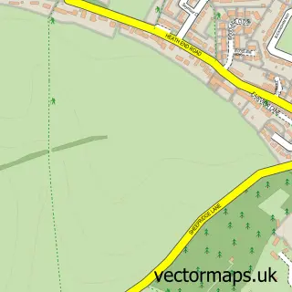
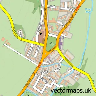
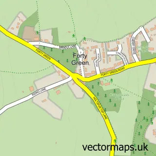
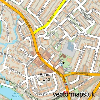
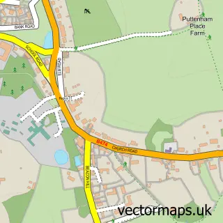
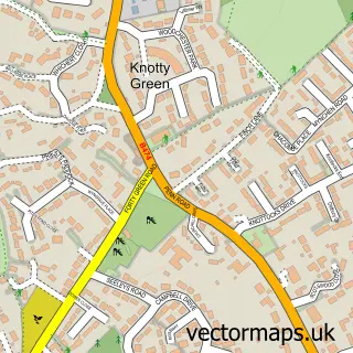
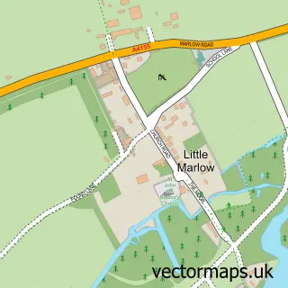
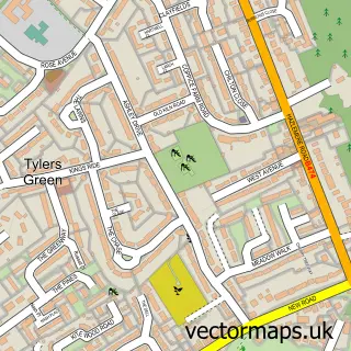
Nearby street map samples around Loudwater

More street maps in Buckinghamshire
750 metre map area coverage
Boundary, postcode and point of interest information for the 750m x 750m rectangle centred on this sample map.
Boundaries containing map centre
Constituency: Wycombe Co Const
District: Buckinghamshire
Icb: NHS Thames Valley ICB
Parish: Chepping Wycombe CP
Police Force: thames valley
Postcode District: HP10
Postcode Sector: HP10 9
Ward: Penn, Tylers Green & Loudwater Ward
Nearby boundaries intersecting sample
Constituency: Beaconsfield Co Const
Parish: Wooburn CP
Postcode District: HP11
Postcode Sector: HP10 0, HP11 1
Ward: Flackwell Heath & The Wooburns Ward
Postcode coverage
POI category counts
Rental Kiosks: 62
Carpet Store: 5
Professional Services: 5
Retail: 5
Building Supply Store: 4
Medical Supply: 4
Business Management Services: 3
Car Wash: 3
Gym: 3
Home Goods Store: 3
Sample points of interest
- Azets
- Fish Partnership
- Wellness Be Acupuncture
- G.U.C
- The Business Extension
- St. Peter's Church
- Denmans
- AED Rent
- Morrisons Daily - Loudwater Station Road , Loudwater
- Fletchers Body Shop
- RJR Autos Ltd.
- Auto Motech Services
Create a larger editable map of Loudwater
This sample shows only a 750 metre area. To create a larger map of Loudwater, use our map builder to choose your own coverage area, add titles and download editable SVG, PDF and PNG files.
Create a custom map of Loudwater