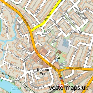
This Wooburn Green street map is a detailed vector street map covering a 750m x 750m area. Select a larger area to create and download your own vector street map of Wooburn Green.
The 750-metre map sample for Wooburn Green covers 184 mapped buildings and approximately 10.7 km of road detail, of which 21 named roads are named. The immediate area includes 1 GP surgery, with 3 within 2 miles, 3 pubs and 6 MOT stations within 2 miles. The wider area around Wooburn Green features 2 tourism points of interest and 3 food and drink venues. To create a larger or custom map of Wooburn Green, the map builder lets you define your own coverage area and download editable SVG, PDF and PNG files.
Create a larger editable map of Wooburn Green
Choose any area you need and generate a high-quality vector map instantly. Perfect for print, planning, design, business and personal use.

This Wooburn Green street map in Buckinghamshire is available as downloadable SVG, PDF and PNG map files, or as a printed map for planning, business, display, education, local information and design work. You can also create a larger custom map area using the map selector.
What this Wooburn Green map sample shows
Wooburn Green lies within Wooburn Cp parish, part of The Wooburns ward in the Buckinghamshire local authority area. The postcode geography for this area includes the HP postcode area, the HP10 postcode district and the HP10 0 postcode sector. Residents fall under the Nhs Buckinghamshire, Oxfordshire And Berkshire West Integrated Care Board for NHS services.
Local features near Wooburn Green
Within 2 milesAmenities and services in and around Wooburn Green.
Administrative and postcode information for Wooburn Green
The local authority covering Wooburn Green is Buckinghamshire, within the county of Buckinghamshire. The settlement lies within The Wooburns ward and Wooburn Cp civil parish. The HP10 postcode district and HP10 0 postcode sector serve the immediate area. NHS provision in the area is delivered through Buckinghamshire Healthcare Nhs Trust.
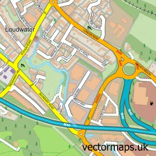
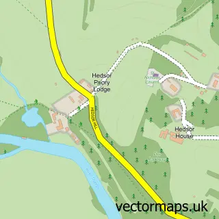
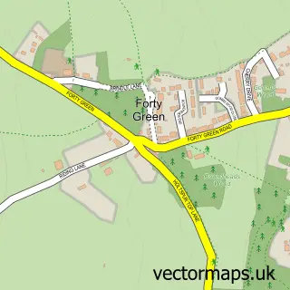
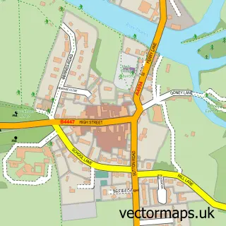
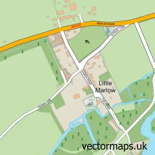
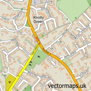
Nearby street map samples around Wooburn Green

More street maps in Buckinghamshire
750 metre map area coverage
Boundary, postcode and point of interest information for the 750m x 750m rectangle centred on this sample map.
Boundaries containing map centre
Constituency: Beaconsfield Co Const
District: Buckinghamshire
Icb: NHS Thames Valley ICB
Parish: Wooburn CP
Police Force: thames valley
Postcode District: HP10
Postcode Sector: HP10 0
Ward: Flackwell Heath & The Wooburns Ward
Nearby boundaries intersecting sample
No additional intersecting boundaries found.
Postcode coverage
POI category counts
Beauty Salon: 4
Cremation Services: 3
Pub: 3
Church Cathedral: 2
Counseling And Mental Health: 2
Financial Advising: 2
Fish And Chips Restaurant: 2
Furniture Store: 2
Interior Design: 2
Korean Grocery Store: 2
Sample points of interest
- Tap and Co
- Paula Cook Audiology
- Mot Beaconsfield
- Crowden Coachworks
- Green Delight
- Barbarian Grill
- Gangsters Barbers
- Serenity Lounge
- Arriva Fragrances
- Brooklyn Nails
- Scalp Perfect
- Serenity Lounge
Create a larger editable map of Wooburn Green
This sample shows only a 750 metre area. To create a larger map of Wooburn Green, use our map builder to choose your own coverage area, add titles and download editable SVG, PDF and PNG files.
Create a custom map of Wooburn Green