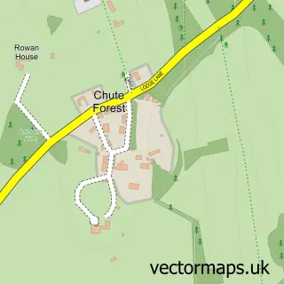
This Lower Chute street map is a detailed vector street map covering a 750m x 750m area. Select a larger area to create and download your own vector street map of Lower Chute.
The 750-metre map sample for Lower Chute covers 77 mapped buildings and approximately 8.1 km of road detail, of which 1 named road are named. The immediate area includes 1 pub. The wider area around Lower Chute features 2 tourism points of interest and 1 food and drink venue. To create a larger or custom map of Lower Chute, the map builder lets you define your own coverage area and download editable SVG, PDF and PNG files.
Create a larger editable map of Lower Chute
Choose any area you need and generate a high-quality vector map instantly. Perfect for print, planning, design, business and personal use.

This Lower Chute street map in Wiltshire is available as downloadable SVG, PDF and PNG map files, or as a printed map for planning, business, display, education, local information and design work. You can also create a larger custom map area using the map selector.
What this Lower Chute map sample shows
Lower Chute lies within Chute Forest Cp parish, part of The Collingbournes And Netheravon ward in the Wiltshire local authority area. The postcode geography for this area includes the SP postcode area, the SP11 postcode district and the SP11 9 postcode sector. Residents fall under the Nhs Bath And North East Somerset, Swindon And Wiltshire Integrated Care Board for NHS services.
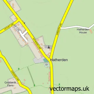
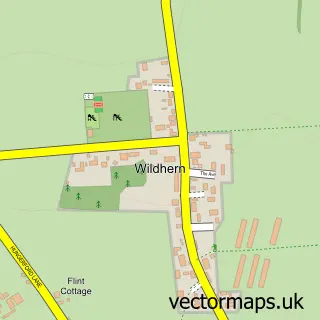
Local features near Lower Chute
Within 2 milesAmenities and services in and around Lower Chute.
Administrative and postcode information for Lower Chute
The local authority covering Lower Chute is Wiltshire, within the county of Wiltshire. The settlement lies within The Collingbournes And Netheravon ward and Chute Forest Cp civil parish. The SP11 postcode district and SP11 9 postcode sector serve the immediate area. NHS provision in the area is delivered through Great Western Hospitals Nhs Foundation Trust.
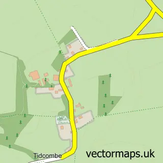
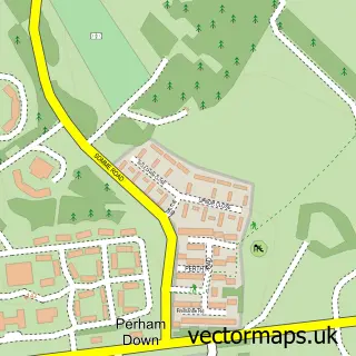
Nearby street map samples around Lower Chute

More street maps in Wiltshire
750 metre map area coverage
Boundary, postcode and point of interest information for the 750m x 750m rectangle centred on this sample map.
Boundaries containing map centre
Constituency: East Wiltshire Co Const
District: Wiltshire
Icb: NHS Bath and North East Somerset Swindon and Wiltshire ICB
Parish: Chute Forest CP
Police Force: wiltshire
Postcode District: SP11
Postcode Sector: SP11 9
Nearby boundaries intersecting sample
Parish: Chute CP
Postcode coverage
POI category counts
It Service And Computer Repair: 2
Landmark And Historical Building: 2
Flowers And Gifts Shop: 1
Gardener: 1
Pub: 1
Social Service Organizations: 1
Storage Facility: 1
Sample points of interest
- Georgie Bailey Floral Design
- Jackson Planning
- Brochet Limited
- Homeline Technology
- Chute Cadley
- Lower Chute
- The Hatchet Inn
- Chute Club
- WhatRemovals
Create a larger editable map of Lower Chute
This sample shows only a 750 metre area. To create a larger map of Lower Chute, use our map builder to choose your own coverage area, add titles and download editable SVG, PDF and PNG files.
Create a custom map of Lower Chute