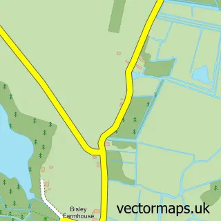
This Ludham street map is a detailed vector street map covering a 750m x 750m area. Select a larger area to create and download your own vector street map of Ludham.
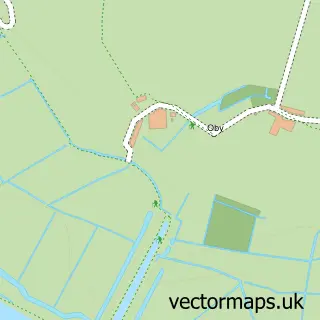
The 750-metre map sample for Ludham covers 296 mapped buildings and approximately 15.5 km of road detail, of which 16 named roads are named. The immediate area includes 1 school, 1 GP surgery, 2 pubs and 1 MOT station. The wider area around Ludham features 2 food and drink venues. To create a larger or custom map of Ludham, the map builder lets you define your own coverage area and download editable SVG, PDF and PNG files.
Create a larger editable map of Ludham
Choose any area you need and generate a high-quality vector map instantly. Perfect for print, planning, design, business and personal use.

This Ludham street map in Norfolk is available as downloadable SVG, PDF and PNG map files, or as a printed map for planning, business, display, education, local information and design work. You can also create a larger custom map area using the map selector.
What this Ludham map sample shows
Ludham lies within Ludham Cp parish, part of St Benet's ward in the North Norfolk District local authority area. The postcode geography for this area includes the NR postcode area, the NR29 postcode district and the NR29 5 postcode sector. Residents fall under the Nhs Norfolk And Waveney Integrated Care Board for NHS services.
Local features near Ludham
Within 2 milesAmenities and services in and around Ludham.
Administrative and postcode information for Ludham
Ludham lies within Ludham Cp parish, part of St Benet's ward in the North Norfolk District local authority area. The postcode geography for this area includes the NR postcode area, the NR29 postcode district and the NR29 5 postcode sector. Residents fall under the Nhs Norfolk And Waveney Integrated Care Board for NHS services.
Nearby street map samples around Ludham

More street maps in Norfolk
750 metre map area coverage
Boundary, postcode and point of interest information for the 750m x 750m rectangle centred on this sample map.
Boundaries containing map centre
Constituency: North Norfolk Co Const
County: Norfolk County
District: North Norfolk District
Icb: NHS Norfolk and Waveney ICB
Parish: Ludham CP
Police Force: norfolk
Postcode District: NR29
Postcode Sector: NR29 5
Ward: St. Benet's Ward
Nearby boundaries intersecting sample
No additional intersecting boundaries found.
Postcode coverage
POI category counts
Convenience Store: 4
Church Cathedral: 2
Elementary School: 2
Flowers And Gifts Shop: 2
Pub: 2
Anglican Church: 1
Arts And Crafts: 1
Beauty Salon: 1
Butcher Shop: 1
Car Dealer: 1
Sample points of interest
- Ludham: St Catherine
- Poppyland Crafts
- Adore Beauty
- Ludham Butchers
- Ludham Garage Ltd
- Saint Catherine's Church Ludham
- St Catherine's Ludham
- Philip Millington Water Services
- Costcutter
- Ludham Convenience Store
- Premier Ludham Store
- The Big Shop
Create a larger editable map of Ludham
This sample shows only a 750 metre area. To create a larger map of Ludham, use our map builder to choose your own coverage area, add titles and download editable SVG, PDF and PNG files.
Create a custom map of Ludham