This Catfield street map is a detailed vector street map covering a 750m x 750m area. Select a larger area to create and download your own vector street map of Catfield.
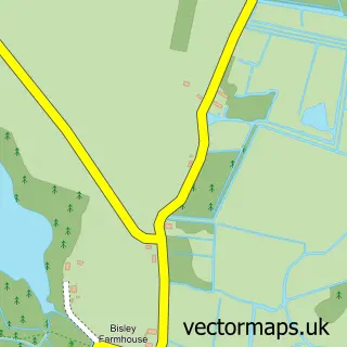
The 750-metre map sample for Catfield covers 257 mapped buildings and approximately 13.6 km of road detail, of which 18 named roads are named. The immediate area includes 1 pub and 2 MOT stations within 2 miles. The wider area around Catfield features 1 tourism point of interest, 1 food and drink venue and 1 campsite within 2 miles. To create a larger or custom map of Catfield, the map builder lets you define your own coverage area and download editable SVG, PDF and PNG files.
Create a larger editable map of Catfield
Choose any area you need and generate a high-quality vector map instantly. Perfect for print, planning, design, business and personal use.

This Catfield street map in Norfolk is available as downloadable SVG, PDF and PNG map files, or as a printed map for planning, business, display, education, local information and design work. You can also create a larger custom map area using the map selector.
What this Catfield map sample shows
Catfield lies within Catfield Cp parish, part of Stalham ward in the North Norfolk District local authority area. The postcode geography for this area includes the NR postcode area, the NR29 postcode district and the NR29 5 postcode sector. Residents fall under the Nhs Norfolk And Waveney Integrated Care Board for NHS services.
Local features near Catfield
Within 2 milesAmenities and services in and around Catfield.
Administrative and postcode information for Catfield
Catfield lies within Catfield Cp parish, part of Stalham ward in the North Norfolk District local authority area. The postcode geography for this area includes the NR postcode area, the NR29 postcode district and the NR29 5 postcode sector. Residents fall under the Nhs Norfolk And Waveney Integrated Care Board for NHS services.
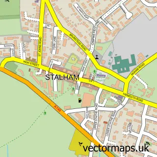
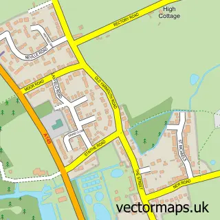
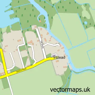
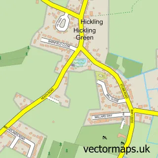
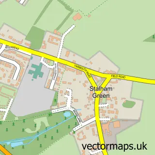
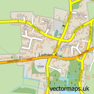
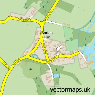
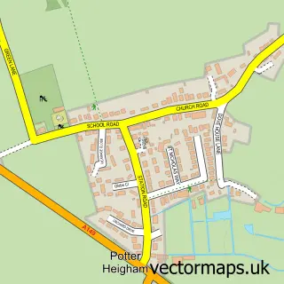
Nearby street map samples around Catfield

More street maps in Norfolk
750 metre map area coverage
Boundary, postcode and point of interest information for the 750m x 750m rectangle centred on this sample map.
Boundaries containing map centre
Constituency: North Norfolk Co Const
County: Norfolk County
District: North Norfolk District
Icb: NHS Norfolk and Waveney ICB
Parish: Catfield CP
Police Force: norfolk
Postcode District: NR29
Postcode Sector: NR29 5
Ward: Stalham Ward
Nearby boundaries intersecting sample
No additional intersecting boundaries found.
Postcode coverage
POI category counts
Automotive Repair: 3
Auto Upholstery: 2
Convenience Store: 2
Garage Door Service: 2
Metal Fabricator: 2
Online Shop: 2
Professional Services: 2
Retail: 2
Automotive: 1
Bakery: 1
Sample points of interest
- Broadland Upholstery Service
- Broadland Upholstery Service
- Haines Marine
- BCK Automotive
- M D Allen Engineering
- Revolution Exhausts
- The Butterfly Cake Shop
- The Crown Inn
- Creative Covers
- Neave Coaches
- Post Office-Catfield
- Premier
Create a larger editable map of Catfield
This sample shows only a 750 metre area. To create a larger map of Catfield, use our map builder to choose your own coverage area, add titles and download editable SVG, PDF and PNG files.
Create a custom map of Catfield