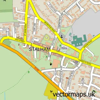
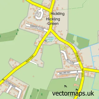
This Sutton street map is a detailed vector street map covering a 750m x 750m area. Select a larger area to create and download your own vector street map of Sutton.
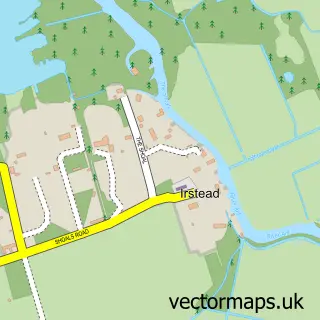
The 750-metre map sample for Sutton covers 266 mapped buildings and approximately 10.8 km of road detail, of which 13 named roads are named. The immediate area includes 1 school, 1 GP surgery within 2 miles and 4 MOT stations within 2 miles. The wider area around Sutton features 1 tourism point of interest, 1 hotel and 1 campsite within 2 miles. To create a larger or custom map of Sutton, the map builder lets you define your own coverage area and download editable SVG, PDF and PNG files.
Create a larger editable map of Sutton
Choose any area you need and generate a high-quality vector map instantly. Perfect for print, planning, design, business and personal use.

This Sutton street map in Norfolk is available as downloadable SVG, PDF and PNG map files, or as a printed map for planning, business, display, education, local information and design work. You can also create a larger custom map area using the map selector.
What this Sutton map sample shows
Sutton lies within Sutton Cp parish, part of Stalham ward in the North Norfolk District local authority area. The postcode geography for this area includes the NR postcode area, the NR12 postcode district and the NR12 9 postcode sector. Residents fall under the Nhs Norfolk And Waveney Integrated Care Board for NHS services.
Local features near Sutton
Within 2 milesAmenities and services in and around Sutton.
Administrative and postcode information for Sutton
The local authority covering Sutton is North Norfolk District, within the county of Norfolk. The settlement lies within Stalham ward and Sutton Cp civil parish. The NR12 postcode district and NR12 9 postcode sector serve the immediate area. NHS provision in the area is delivered through Norfolk And Norwich University Hospitals Nhs Foundation Trust.
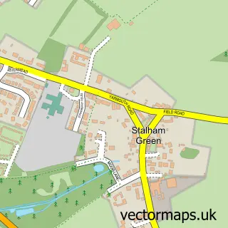
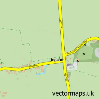
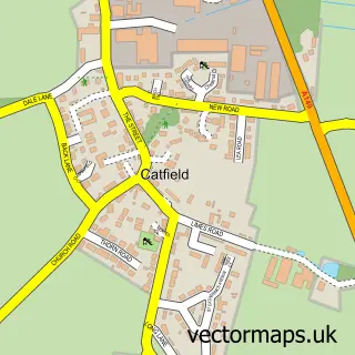
Nearby street map samples around Sutton

More street maps in Norfolk
750 metre map area coverage
Boundary, postcode and point of interest information for the 750m x 750m rectangle centred on this sample map.
Boundaries containing map centre
Constituency: North Norfolk Co Const
County: Norfolk County
District: North Norfolk District
Icb: NHS Norfolk and Waveney ICB
Parish: Sutton CP
Police Force: norfolk
Postcode District: NR12
Postcode Sector: NR12 9
Ward: Stalham Ward
Nearby boundaries intersecting sample
Parish: Stalham CP
Postcode coverage
POI category counts
Building Supply Store: 2
Retail: 2
Antique Store: 1
Campground: 1
Church Cathedral: 1
Community Center: 1
Doctor: 1
Education: 1
Hotel: 1
Nursery And Gardening: 1
Sample points of interest
- Driftwood Reclaim
- Norfolk Garden Services
- Sutton Building Supplies
- Keelers Meadow C and CC 5CS
- St Furesy Orthodox Christian Community
- Sutton Village Hall, Norfolk.
- North East Norfolk SLT
- Sutton Infant School
- Sutton Staithe Hotel
- P and A Plant Supplies
- Randells Poditry
- Courier Expert
Create a larger editable map of Sutton
This sample shows only a 750 metre area. To create a larger map of Sutton, use our map builder to choose your own coverage area, add titles and download editable SVG, PDF and PNG files.
Create a custom map of Sutton