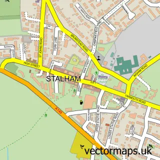
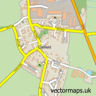
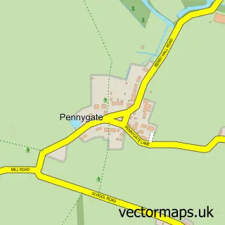
This Stalham Green street map is a detailed vector street map covering a 750m x 750m area. Select a larger area to create and download your own vector street map of Stalham Green.
The 750-metre map sample for Stalham Green covers 230 mapped buildings and approximately 8.1 km of road detail, of which 7 named roads are named. The immediate area includes 1 school, 1 GP surgery within 2 miles, 1 pub and 1 MOT station, with 4 within 2 miles. The wider area around Stalham Green features 1 food and drink venue and 1 campsite within 2 miles. To create a larger or custom map of Stalham Green, the map builder lets you define your own coverage area and download editable SVG, PDF and PNG files.
Create a larger editable map of Stalham Green
Choose any area you need and generate a high-quality vector map instantly. Perfect for print, planning, design, business and personal use.

This Stalham Green street map in Norfolk is available as downloadable SVG, PDF and PNG map files, or as a printed map for planning, business, display, education, local information and design work. You can also create a larger custom map area using the map selector.
What this Stalham Green map sample shows
Stalham Green lies within Stalham Cp parish, part of Stalham ward in the North Norfolk District local authority area. The postcode geography for this area includes the NR postcode area, the NR12 postcode district and the NR12 9 postcode sector. Residents fall under the Nhs Norfolk And Waveney Integrated Care Board for NHS services.
Local features near Stalham Green
Within 2 milesAmenities and services in and around Stalham Green.
Administrative and postcode information for Stalham Green
Stalham Green lies within Stalham Cp parish, part of Stalham ward in the North Norfolk District local authority area. The postcode geography for this area includes the NR postcode area, the NR12 postcode district and the NR12 9 postcode sector. Residents fall under the Nhs Norfolk And Waveney Integrated Care Board for NHS services.
Nearby street map samples around Stalham Green

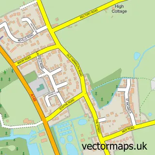
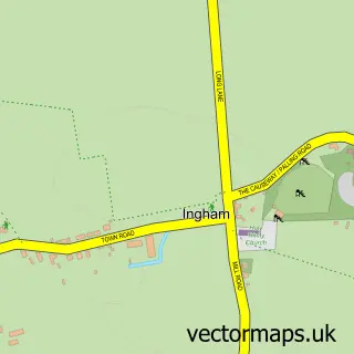
More street maps in Norfolk
750 metre map area coverage
Boundary, postcode and point of interest information for the 750m x 750m rectangle centred on this sample map.
Boundaries containing map centre
Constituency: North Norfolk Co Const
County: Norfolk County
District: North Norfolk District
Icb: NHS Norfolk and Waveney ICB
Parish: Stalham CP
Police Force: norfolk
Postcode District: NR12
Postcode Sector: NR12 9
Ward: Stalham Ward
Nearby boundaries intersecting sample
No additional intersecting boundaries found.
Postcode coverage
POI category counts
Convenience Store: 2
Gas Station: 2
Accountant: 1
Art Gallery: 1
Automotive Repair: 1
Bed And Breakfast: 1
Church Cathedral: 1
Doctor: 1
Education: 1
Elementary School: 1
Sample points of interest
- Fairhead Bradford
- North Norfolk Gallery
- Nicholsons Garage
- Stalham Chalets
- St Fursey Orthodox Christian Community
- Costcutter
- Morrisons Daily
- Stalham Green Surgery
- Stalham Infant School & Nursery
- Stalham Junior School
- Gulf
- TotalEnergies
Create a larger editable map of Stalham Green
This sample shows only a 750 metre area. To create a larger map of Stalham Green, use our map builder to choose your own coverage area, add titles and download editable SVG, PDF and PNG files.
Create a custom map of Stalham Green