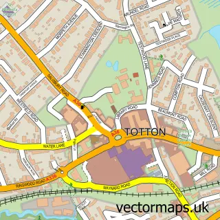
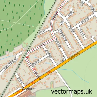
This Lyndhurst street map is a detailed vector street map covering a 750m x 750m area. Select a larger area to create and download your own vector street map of Lyndhurst.
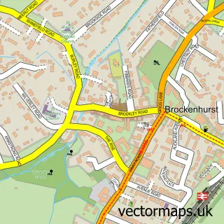
The 750-metre map sample for Lyndhurst covers 361 mapped buildings and approximately 14.9 km of road detail, of which 27 named roads are named. The immediate area includes 1 school, 1 GP surgery and 7 pubs. The wider area around Lyndhurst features 6 tourism points of interest, 23 food and drink venues and 10 hotels. To create a larger or custom map of Lyndhurst, the map builder lets you define your own coverage area and download editable SVG, PDF and PNG files.
Create a larger editable map of Lyndhurst
Choose any area you need and generate a high-quality vector map instantly. Perfect for print, planning, design, business and personal use.

This Lyndhurst street map in Hampshire is available as downloadable SVG, PDF and PNG map files, or as a printed map for planning, business, display, education, local information and design work. You can also create a larger custom map area using the map selector.
What this Lyndhurst map sample shows
Lyndhurst lies within Lyndhurst Cp parish, part of Lyndhurst ward in the New Forest District local authority area. The postcode geography for this area includes the SO postcode area, the SO43 postcode district and the SO43 7 postcode sector. Residents fall under the Nhs Hampshire And Isle Of Wight Integrated Care Board for NHS services.
Local features near Lyndhurst
Within 2 milesAmenities and services in and around Lyndhurst.
Administrative and postcode information for Lyndhurst
Lyndhurst lies within Lyndhurst Cp parish, part of Lyndhurst ward in the New Forest District local authority area. The postcode geography for this area includes the SO postcode area, the SO43 postcode district and the SO43 7 postcode sector. Residents fall under the Nhs Hampshire And Isle Of Wight Integrated Care Board for NHS services.
Nearby street map samples around Lyndhurst

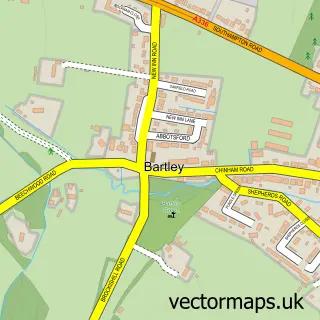
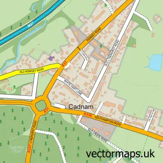
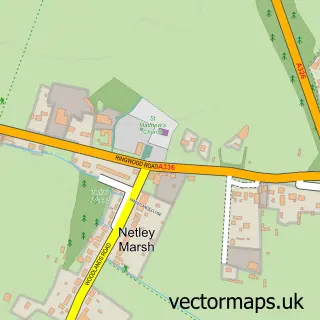
More street maps in Hampshire
750 metre map area coverage
Boundary, postcode and point of interest information for the 750m x 750m rectangle centred on this sample map.
Boundaries containing map centre
Constituency: New Forest East Co Const
County: Hampshire County
District: New Forest District
Icb: NHS Hampshire and Isle of Wight ICB
Parish: Lyndhurst CP
Police Force: hampshire
Postcode District: SO43
Postcode Sector: SO43 7
Ward: Lyndhurst & Minstead Ward
Nearby boundaries intersecting sample
No additional intersecting boundaries found.
Postcode coverage
POI category counts
Hotel: 10
Cafe: 8
Bed And Breakfast: 7
Pub: 7
Coffee Shop: 6
Beauty And Spa: 5
Flowers And Gifts Shop: 5
Hair Salon: 5
Candy Store: 4
Car Dealer: 4
Sample points of interest
- Rodd Design
- Verderers of the New Forest
- Black Pug Antiques
- Lyndhurst Antiques & Collectables
- Stephen Ferder Antiques
- Simpson Hilder Associates
- Lyndhurst Gallery
- The New Forest Centre
- The Hearing Clinic Hampshire Ltd
- Dormobile Ltd
- Advance Electrical Installations
- A Stitch in Time
Create a larger editable map of Lyndhurst
This sample shows only a 750 metre area. To create a larger map of Lyndhurst, use our map builder to choose your own coverage area, add titles and download editable SVG, PDF and PNG files.
Create a custom map of Lyndhurst