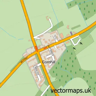
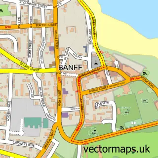
This Macduff street map is a detailed vector street map covering a 750m x 750m area. Select a larger area to create and download your own vector street map of Macduff.
The 750-metre map sample for Macduff covers 443 mapped buildings and approximately 19.9 km of road detail, of which 48 named roads are named. The immediate area includes 1 GP surgery within 2 miles, 2 pubs and 3 MOT stations within 2 miles. The wider area around Macduff features 2 tourism points of interest, 6 food and drink venues and 5 hotels. To create a larger or custom map of Macduff, the map builder lets you define your own coverage area and download editable SVG, PDF and PNG files.
Create a larger editable map of Macduff
Choose any area you need and generate a high-quality vector map instantly. Perfect for print, planning, design, business and personal use.

This Macduff street map in Banffshire is available as downloadable SVG, PDF and PNG map files, or as a printed map for planning, business, display, education, local information and design work. You can also create a larger custom map area using the map selector.
What this Macduff map sample shows
Macduff lies within Aberdeenshire parish, part of Troup ward in the Aberdeenshire local authority area. The postcode geography for this area includes the AB postcode area, the AB44 postcode district and the AB44 1 postcode sector. Residents fall under the Grampian for NHS services.
Local features near Macduff
Within 2 milesAmenities and services in and around Macduff.
Administrative and postcode information for Macduff
Macduff lies within Aberdeenshire parish, part of Troup ward in the Aberdeenshire local authority area. The postcode geography for this area includes the AB postcode area, the AB44 postcode district and the AB44 1 postcode sector. Residents fall under the Grampian for NHS services.
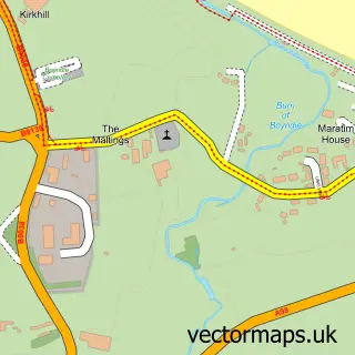
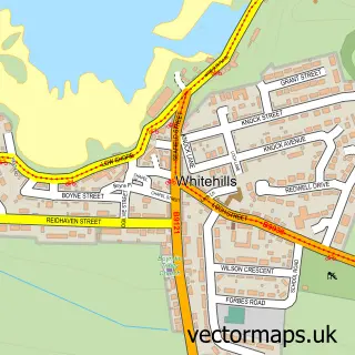
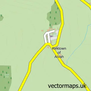
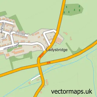
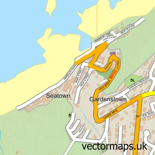
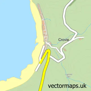
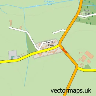
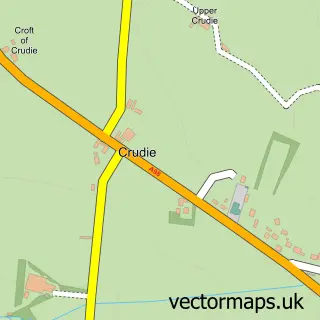
Nearby street map samples around Macduff

More street maps in Banffshire
750 metre map area coverage
Boundary, postcode and point of interest information for the 750m x 750m rectangle centred on this sample map.
Boundaries containing map centre
Constituency: Aberdeenshire North and Moray East Co Const
District: Aberdeenshire
Icb: Grampian
Postcode District: AB44
Postcode Sector: AB44 1
Ward: Troup Ward
Nearby boundaries intersecting sample
No additional intersecting boundaries found.
Postcode coverage
POI category counts
Charity Organization: 5
Hotel: 5
Cafe: 4
Beauty Salon: 3
Dentist: 3
Fish And Chips Restaurant: 3
Bakery: 2
Beauty And Spa: 2
Convenience Store: 2
Engineering Services: 2
Sample points of interest
- RNLI Macduff
- Corner Bistro
- Macduff Marine Aquarium
- Macduff Garage
- Duguid Bakers
- Home Bakery Macduff Ltd
- Bank of Scotland
- JODIE Nail & Make-Up Artist
- Sara Mann Salon - Macduff
- More Than Beauty by KZ
- Polka
- Samantha Smith Hairdressing
Create a larger editable map of Macduff
This sample shows only a 750 metre area. To create a larger map of Macduff, use our map builder to choose your own coverage area, add titles and download editable SVG, PDF and PNG files.
Create a custom map of Macduff