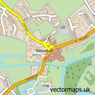
This Mareham le Fen street map is a detailed vector street map covering a 750m x 750m area. Select a larger area to create and download your own vector street map of Mareham le Fen.
The 750-metre map sample for Mareham le Fen covers 381 mapped buildings and approximately 13.3 km of road detail, of which 20 named roads are named. The immediate area includes 1 school, 1 pub and 1 MOT station within 2 miles. The wider area around Mareham le Fen features 1 food and drink venue and 1 hotel. To create a larger or custom map of Mareham le Fen, the map builder lets you define your own coverage area and download editable SVG, PDF and PNG files.
Create a larger editable map of Mareham le Fen
Choose any area you need and generate a high-quality vector map instantly. Perfect for print, planning, design, business and personal use.

This Mareham le Fen street map in Lincolnshire is available as downloadable SVG, PDF and PNG map files, or as a printed map for planning, business, display, education, local information and design work. You can also create a larger custom map area using the map selector.
What this Mareham le Fen map sample shows
Mareham le Fen lies within Mareham Le Fen Cp parish, part of Coningsby & Mareham ward in the East Lindsey District local authority area. The postcode geography for this area includes the PE postcode area, the PE22 postcode district and the PE22 7 postcode sector. Residents fall under the Nhs Lincolnshire Integrated Care Board for NHS services.
Local features near Mareham le Fen
Within 2 milesAmenities and services in and around Mareham le Fen.
Administrative and postcode information for Mareham le Fen
The local authority covering Mareham le Fen is East Lindsey District, within the county of Lincolnshire. The settlement lies within Coningsby & Mareham ward and Mareham Le Fen Cp civil parish. The PE22 postcode district and PE22 7 postcode sector serve the immediate area. NHS provision in the area is delivered through United Lincolnshire Hospitals Nhs Trust.
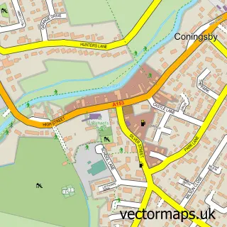
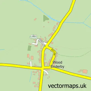
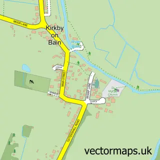
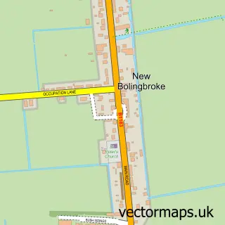
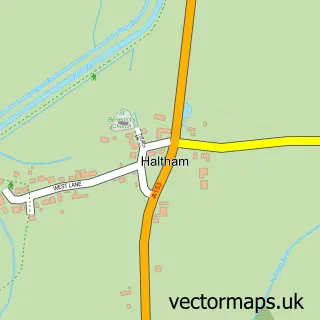
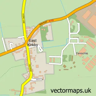
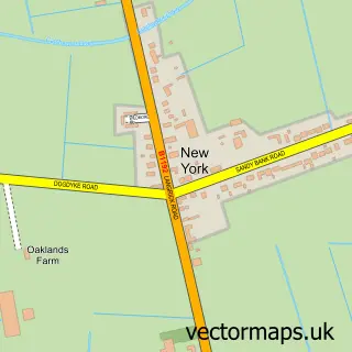
Nearby street map samples around Mareham le Fen

More street maps in Lincolnshire
750 metre map area coverage
Boundary, postcode and point of interest information for the 750m x 750m rectangle centred on this sample map.
Boundaries containing map centre
Constituency: Louth and Horncastle Co Const
County: Lincolnshire County
District: East Lindsey District
Icb: NHS Lincolnshire ICB
Parish: Mareham Le Fen CP
Police Force: lincolnshire
Postcode District: PE22
Postcode Sector: PE22 7
Ward: Coningsby & Mareham Ward
Nearby boundaries intersecting sample
No additional intersecting boundaries found.
Postcode coverage
POI category counts
Pet Groomer: 2
Anglican Church: 1
B2b Tractor Dealers: 1
Bar: 1
Butcher Shop: 1
Catholic Church: 1
Church Cathedral: 1
Community Center: 1
Convenience Store: 1
Education: 1
Sample points of interest
- St Helen
- G & J Peck Ltd.
- Royal Oak
- Handson's Butchers
- St. Helens Parish Church, Mareham Le Fen
- St Helen's Church
- Mareham le Fen Community Centre
- Premier Mareham Le Fen Store
- The Mareham-le-fen Church of England Primary School
- Mareham Le Fen Church of England Primary School
- TC Engineering Services
- Harbour Light Fish & Chip Shop
Create a larger editable map of Mareham le Fen
This sample shows only a 750 metre area. To create a larger map of Mareham le Fen, use our map builder to choose your own coverage area, add titles and download editable SVG, PDF and PNG files.
Create a custom map of Mareham le Fen