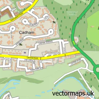
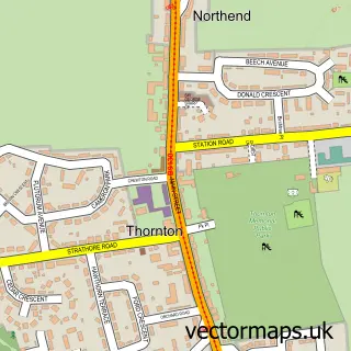
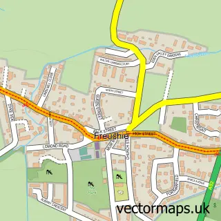
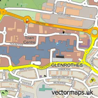
This Markinch street map is a detailed vector street map covering a 750m x 750m area. Select a larger area to create and download your own vector street map of Markinch.
The 750-metre map sample for Markinch covers 393 mapped buildings and approximately 14.9 km of road detail, of which 40 named roads are named. The immediate area includes 1 railway station, 1 GP surgery, with 4 within 2 miles, 1 pub and 1 MOT station, with 13 within 2 miles. The wider area around Markinch features 1 tourism point of interest, 4 food and drink venues and 4 hotels. To create a larger or custom map of Markinch, the map builder lets you define your own coverage area and download editable SVG, PDF and PNG files.
Create a larger editable map of Markinch
Choose any area you need and generate a high-quality vector map instantly. Perfect for print, planning, design, business and personal use.

This Markinch street map in Fife is available as downloadable SVG, PDF and PNG map files, or as a printed map for planning, business, display, education, local information and design work. You can also create a larger custom map area using the map selector.
What this Markinch map sample shows
Markinch lies within Fife parish, part of Glenrothes North, Leslie And Markinch ward in the Fife local authority area. The postcode geography for this area includes the KY postcode area, the KY7 postcode district and the KY7 6 postcode sector. Residents fall under the Fife for NHS services.
Local features near Markinch
Within 2 milesAmenities and services in and around Markinch.
Administrative and postcode information for Markinch
The local authority covering Markinch is Fife, within the county of Fife. The settlement lies within Glenrothes North, Leslie And Markinch ward and Fife civil parish. The KY7 postcode district and KY7 6 postcode sector serve the immediate area. NHS provision in the area is delivered through Fife.
Nearby street map samples around Markinch

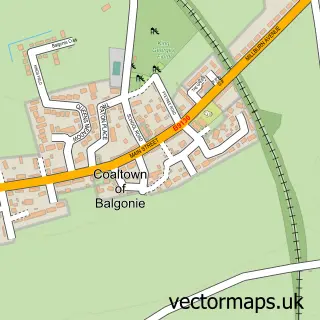
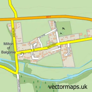
More street maps in Fife
750 metre map area coverage
Boundary, postcode and point of interest information for the 750m x 750m rectangle centred on this sample map.
Boundaries containing map centre
Constituency: Glenrothes and Mid Fife Co Const
District: Fife
Icb: Fife
Postcode District: KY7
Postcode Sector: KY7 6
Ward: Glenrothes North, Leslie and Markinch Ward
Nearby boundaries intersecting sample
No additional intersecting boundaries found.
Postcode coverage
POI category counts
Beauty Salon: 5
Hotel: 4
Contractor: 3
Convenience Store: 3
Home Service: 3
Pet Groomer: 3
Pet Services: 3
Train Station: 3
Beauty And Spa: 2
Building Supply Store: 2
Sample points of interest
- Aval - Ballan
- The Cooperative Food Markinch (ERF)
- The old fire station garage markinch
- Caramel and Crumbs
- RBS
- Royal Bank of Scotland
- Penny Carville Aesthetics
- Wilson Aesthetics
- Pelo Hair & Beauty
- Gillian Alexander Hair
- LC Hair + Beauty
- Nails and Beauty by Sarah-Jayne
Create a larger editable map of Markinch
This sample shows only a 750 metre area. To create a larger map of Markinch, use our map builder to choose your own coverage area, add titles and download editable SVG, PDF and PNG files.
Create a custom map of Markinch