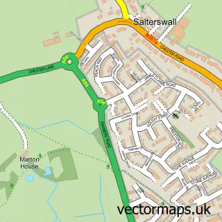
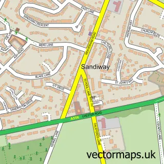
This Meadowbank street map is a detailed vector street map covering a 750m x 750m area. Select a larger area to create and download your own vector street map of Meadowbank.
The 750-metre map sample for Meadowbank covers 76 mapped buildings and approximately 5.7 km of road detail, of which 3 named roads are named. The immediate area includes 4 GP surgeries within 2 miles and 12 MOT stations within 2 miles. To create a larger or custom map of Meadowbank, the map builder lets you define your own coverage area and download editable SVG, PDF and PNG files.
Create a larger editable map of Meadowbank
Choose any area you need and generate a high-quality vector map instantly. Perfect for print, planning, design, business and personal use.

This Meadowbank street map in Cheshire is available as downloadable SVG, PDF and PNG map files, or as a printed map for planning, business, display, education, local information and design work. You can also create a larger custom map area using the map selector.
What this Meadowbank map sample shows
Meadowbank lies within Moulton Cp parish, part of Davenham, Moulton & Kingsmead ward in the Cheshire West And Chester (B) local authority area. The postcode geography for this area includes the CW postcode area, the CW9 postcode district and the CW9 8 postcode sector. Residents fall under the Nhs Cheshire And Merseyside Integrated Care Board for NHS services.
Local features near Meadowbank
Within 2 milesAmenities and services in and around Meadowbank.
Administrative and postcode information for Meadowbank
The local authority covering Meadowbank is Cheshire West And Chester (B), within the county of Cheshire. The settlement lies within Davenham, Moulton & Kingsmead ward and Moulton Cp civil parish. The CW9 postcode district and CW9 8 postcode sector serve the immediate area. NHS provision in the area is delivered through Mid Cheshire Hospitals Nhs Foundation Trust.
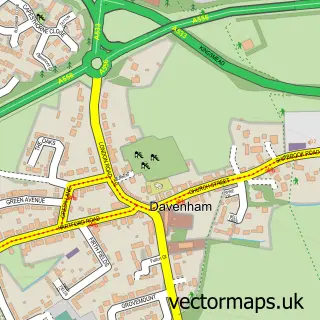
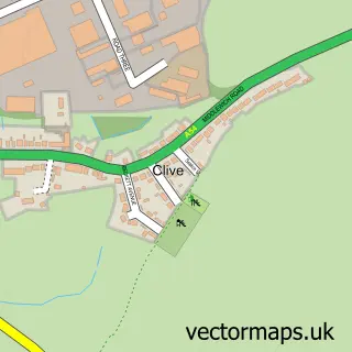
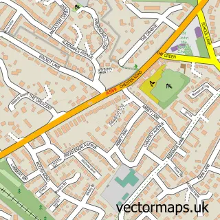
Nearby street map samples around Meadowbank

More street maps in Cheshire
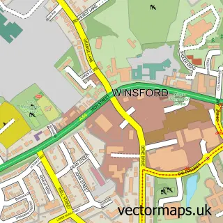
750 metre map area coverage
Boundary, postcode and point of interest information for the 750m x 750m rectangle centred on this sample map.
Boundaries containing map centre
Constituency: Mid Cheshire Co Const
District: Cheshire West and Chester (B)
Icb: NHS Cheshire and Merseyside ICB
Parish: Winsford CP
Police Force: cheshire
Postcode District: CW7
Postcode Sector: CW7 2
Ward: Winsford Over & Verdin Ward
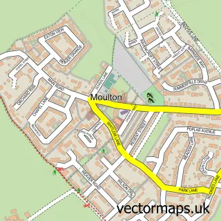
Nearby boundaries intersecting sample
Parish: Moulton CP, Whitegate and Marton CP
Postcode Sector: CW7 3
Ward: Davenham, Moulton & Kingsmead Ward, Winsford Wharton Ward
Postcode coverage
POI category counts
Automotive Repair: 1
Beauty Salon: 1
Carpet Cleaning: 1
Chemical Plant: 1
Contractor: 1
Freight And Cargo Service: 1
Home Cleaning: 1
Hvac Supplier: 1
Motorsports Store: 1
Printing Services: 1
Sample points of interest
- Atlantic Performance Centre
- Belle Amè Asthetiquès
- Chem-dry Charlie
- Compass Minerals Winsford
- Paul Simpson Property Development Services
- Salt Union
- Cheshire Rug Cleaning
- BGI Heating
- VTEC Direct Motorsport
- Technoprint
- Winsford SelfStore
- Meadow Bank Social Club
Create a larger editable map of Meadowbank
This sample shows only a 750 metre area. To create a larger map of Meadowbank, use our map builder to choose your own coverage area, add titles and download editable SVG, PDF and PNG files.
Create a custom map of Meadowbank