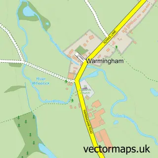
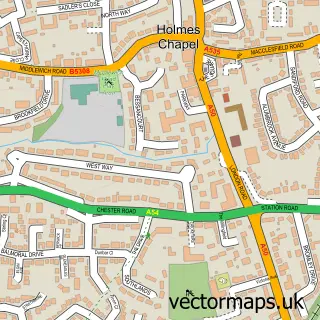
This Middlewich street map is a detailed vector street map covering a 750m x 750m area. Select a larger area to create and download your own vector street map of Middlewich.
The 750-metre map sample for Middlewich covers 470 mapped buildings and approximately 17.4 km of road detail, of which 55 named roads are named. The immediate area includes 1 school, 2 GP surgeries, 8 pubs and 1 MOT station, with 6 within 2 miles. The wider area around Middlewich features 3 tourism points of interest, 11 food and drink venues and 1 hotel. To create a larger or custom map of Middlewich, the map builder lets you define your own coverage area and download editable SVG, PDF and PNG files.
Create a larger editable map of Middlewich
Choose any area you need and generate a high-quality vector map instantly. Perfect for print, planning, design, business and personal use.

This Middlewich street map in Cheshire is available as downloadable SVG, PDF and PNG map files, or as a printed map for planning, business, display, education, local information and design work. You can also create a larger custom map area using the map selector.
What this Middlewich map sample shows
Middlewich lies within Middlewich Cp parish, part of Middlewich ward in the Cheshire East (B) local authority area. The postcode geography for this area includes the CW postcode area, the CW10 postcode district and the CW10 0 postcode sector. Residents fall under the Nhs Cheshire And Merseyside Integrated Care Board for NHS services.
Local features near Middlewich
Within 2 milesAmenities and services in and around Middlewich.
Administrative and postcode information for Middlewich
The local authority covering Middlewich is Cheshire East (B), within the county of Cheshire. The settlement lies within Middlewich ward and Middlewich Cp civil parish. The CW10 postcode district and CW10 0 postcode sector serve the immediate area. NHS provision in the area is delivered through Mid Cheshire Hospitals Nhs Foundation Trust.
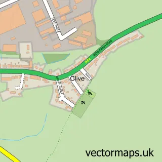
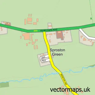
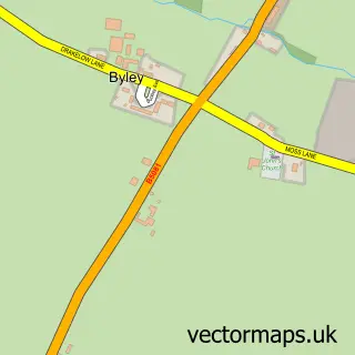
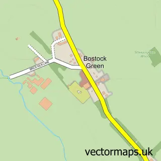
Nearby street map samples around Middlewich

More street maps in Cheshire
750 metre map area coverage
Boundary, postcode and point of interest information for the 750m x 750m rectangle centred on this sample map.
Boundaries containing map centre
Constituency: Mid Cheshire Co Const
District: Cheshire East (B)
Icb: NHS Cheshire and Merseyside ICB
Parish: Middlewich CP
Police Force: cheshire
Postcode District: CW10
Postcode Sector: CW10 9
Ward: Middlewich Ward
Nearby boundaries intersecting sample
Postcode Sector: CW10 0
Postcode coverage
POI category counts
Beauty Salon: 12
Professional Services: 12
Hair Salon: 11
Pub: 8
Beauty And Spa: 7
Real Estate Agent: 5
Banks: 4
Bar: 4
Barber: 4
Construction Services: 4
Sample points of interest
- Taylor & Co Accountancy Services Ltd
- Sudlow Marketing
- Middlewich War Memorial
- Art and Frames
- Alhambra
- Gallery Finance
- H&D Satellite & Aerial Services
- Reliance Vehicle Management Ltd
- Barry & Wilkinson
- Ignition Autos
- Protyre
- Cheshire Auto Tuning | Remapping | EGR DPF AdBlue Solutions
Create a larger editable map of Middlewich
This sample shows only a 750 metre area. To create a larger map of Middlewich, use our map builder to choose your own coverage area, add titles and download editable SVG, PDF and PNG files.
Create a custom map of Middlewich