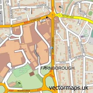
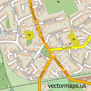
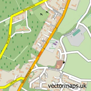
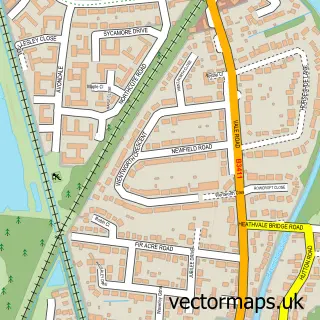
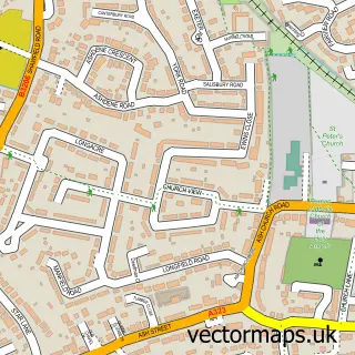
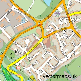
This Mytchett street map is a detailed vector street map covering a 750m x 750m area. Select a larger area to create and download your own vector street map of Mytchett.
The 750-metre map sample for Mytchett covers 491 mapped buildings and approximately 16.2 km of road detail, of which 33 named roads are named. The immediate area includes 4 GP surgeries within 2 miles and 1 MOT station, with 15 within 2 miles. The wider area around Mytchett features 1 food and drink venue and 1 campsite within 2 miles. To create a larger or custom map of Mytchett, the map builder lets you define your own coverage area and download editable SVG, PDF and PNG files.
Create a larger editable map of Mytchett
Choose any area you need and generate a high-quality vector map instantly. Perfect for print, planning, design, business and personal use.

This Mytchett street map in Surrey is available as downloadable SVG, PDF and PNG map files, or as a printed map for planning, business, display, education, local information and design work. You can also create a larger custom map area using the map selector.
What this Mytchett map sample shows
Mytchett lies within Surrey County parish, part of Mytchett & Deepcut ward in the Surrey Heath District (B) local authority area. The postcode geography for this area includes the GU postcode area, the GU16 postcode district and the GU16 6 postcode sector. Residents fall under the Nhs Frimley Integrated Care Board for NHS services.
Local features near Mytchett
Within 2 milesAmenities and services in and around Mytchett.
Administrative and postcode information for Mytchett
The local authority covering Mytchett is Surrey Heath District (B), within the county of Surrey. The settlement lies within Mytchett & Deepcut ward and Surrey County civil parish. The GU16 postcode district and GU16 6 postcode sector serve the immediate area. NHS provision in the area is delivered through Frimley Health Nhs Foundation Trust.
Nearby street map samples around Mytchett

More street maps in Surrey
750 metre map area coverage
Boundary, postcode and point of interest information for the 750m x 750m rectangle centred on this sample map.
Boundaries containing map centre
Constituency: Surrey Heath Co Const
County: Surrey County
District: Surrey Heath District (B)
Icb: NHS Frimley ICB
Police Force: surrey
Postcode District: GU16
Postcode Sector: GU16 6
Ward: Mytchett & Deepcut Ward
Nearby boundaries intersecting sample
No additional intersecting boundaries found.
Postcode coverage
POI category counts
Beauty Salon: 7
Building Supply Store: 5
Convenience Store: 4
Retail: 4
Contractor: 3
Gardener: 3
Hair Salon: 3
Pet Groomer: 3
Auto Parts And Supply Store: 2
Barber: 2
Sample points of interest
- The Playmakers - Amateur Dramatics Society
- Lumsden's Auctions
- NH Electrical Services
- Bonz-mx
- Bonz-mx
- Jason Walker Valeting
- Warren Garage
- Apple-Bay
- Jenis Cakes
- Memphis Belles rock n roll club
- Cutthroat Business Mytchett
- LJ's Barbers
Create a larger editable map of Mytchett
This sample shows only a 750 metre area. To create a larger map of Mytchett, use our map builder to choose your own coverage area, add titles and download editable SVG, PDF and PNG files.
Create a custom map of Mytchett