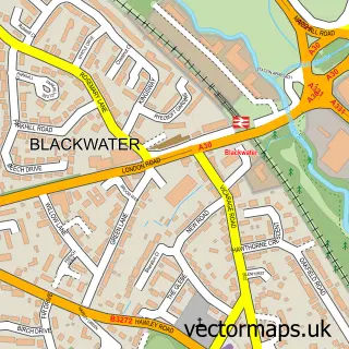
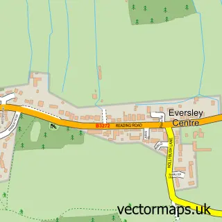
This Hawley street map is a detailed vector street map covering a 750m x 750m area. Select a larger area to create and download your own vector street map of Hawley.
The 750-metre map sample for Hawley covers 235 mapped buildings and approximately 13.9 km of road detail, of which 16 named roads are named. The immediate area includes 1 school, 7 GP surgeries within 2 miles and 14 MOT stations within 2 miles. The wider area around Hawley features 1 tourism point of interest and 1 food and drink venue. To create a larger or custom map of Hawley, the map builder lets you define your own coverage area and download editable SVG, PDF and PNG files.
Create a larger editable map of Hawley
Choose any area you need and generate a high-quality vector map instantly. Perfect for print, planning, design, business and personal use.

This Hawley street map in Hampshire is available as downloadable SVG, PDF and PNG map files, or as a printed map for planning, business, display, education, local information and design work. You can also create a larger custom map area using the map selector.
What this Hawley map sample shows
Hawley lies within Blackwater And Hawley Cp parish, part of Blackwater And Hawley ward in the Hart District local authority area. The postcode geography for this area includes the GU postcode area, the GU17 postcode district and the GU17 9 postcode sector. Residents fall under the Nhs Frimley Integrated Care Board for NHS services.
Local features near Hawley
Within 2 milesAmenities and services in and around Hawley.
Administrative and postcode information for Hawley
The local authority covering Hawley is Hart District, within the county of Hampshire. The settlement lies within Blackwater And Hawley ward and Blackwater And Hawley Cp civil parish. The GU17 postcode district and GU17 9 postcode sector serve the immediate area. NHS provision in the area is delivered through Frimley Health Nhs Foundation Trust.
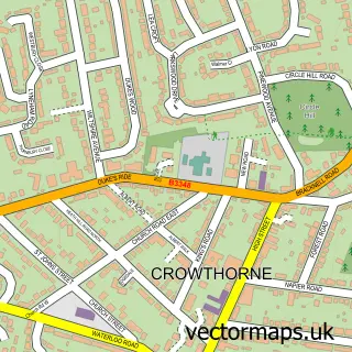
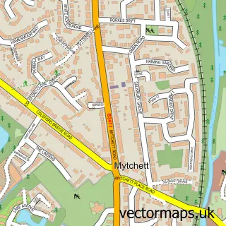
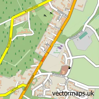
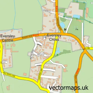
Nearby street map samples around Hawley

More street maps in Hampshire
750 metre map area coverage
Boundary, postcode and point of interest information for the 750m x 750m rectangle centred on this sample map.
Boundaries containing map centre
Constituency: Aldershot Boro Const
County: Hampshire County
District: Hart District
Icb: NHS Frimley ICB
Parish: Blackwater and Hawley CP
Police Force: hampshire
Postcode District: GU17
Postcode Sector: GU17 9
Ward: Blackwater and Hawley Ward
Nearby boundaries intersecting sample
Constituency: Surrey Heath Co Const
County: Surrey County
District: Surrey Heath District (B)
Police Force: surrey
Postcode District: GU15
Postcode Sector: GU15 3
Ward: St. Michaels Ward
Postcode coverage
POI category counts
Sports Club And League: 4
Professional Services: 3
Automotive Repair: 2
Bakery: 2
Day Care Preschool: 2
Retirement Home: 2
Active Life: 1
Advertising Agency: 1
Anglican Church: 1
Arts And Crafts: 1
Sample points of interest
- Surrey Panthers Netball
- Beechleigh Promotions
- Holy Trinity, Hawley
- Crown River Design
- Gracewell of Hawley
- Camberley Audi Aftersales
- Audi Service Centre
- Ropers Farnborough
- Rebekah's Cake Kitchen
- The Brownie Man Bakery
- The Blackwater & Hawley Inn
- Pink & White Gel Nails
Create a larger editable map of Hawley
This sample shows only a 750 metre area. To create a larger map of Hawley, use our map builder to choose your own coverage area, add titles and download editable SVG, PDF and PNG files.
Create a custom map of Hawley