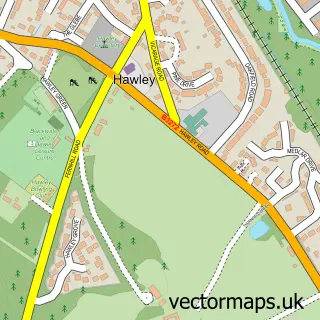
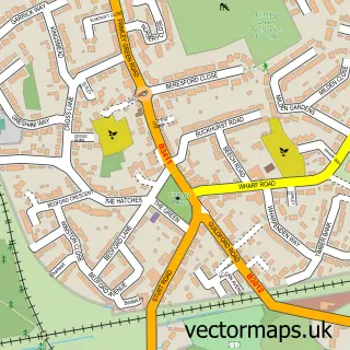
This Blackwater street map is a detailed vector street map covering a 750m x 750m area. Select a larger area to create and download your own vector street map of Blackwater.
The 750-metre map sample for Blackwater covers 402 mapped buildings and approximately 22.1 km of road detail, of which 34 named roads are named. The immediate area includes 1 railway station, 6 GP surgeries within 2 miles, 2 pubs and 14 MOT stations within 2 miles. The wider area around Blackwater features 1 tourism point of interest and 7 food and drink venues. To create a larger or custom map of Blackwater, the map builder lets you define your own coverage area and download editable SVG, PDF and PNG files.
Create a larger editable map of Blackwater
Choose any area you need and generate a high-quality vector map instantly. Perfect for print, planning, design, business and personal use.

This Blackwater street map in Hampshire is available as downloadable SVG, PDF and PNG map files, or as a printed map for planning, business, display, education, local information and design work. You can also create a larger custom map area using the map selector.
What this Blackwater map sample shows
Blackwater lies within Blackwater And Hawley Cp parish, part of Blackwater And Hawley ward in the Hart District local authority area. The postcode geography for this area includes the GU postcode area, the GU17 postcode district and the GU17 9 postcode sector. Residents fall under the Nhs Frimley Integrated Care Board for NHS services.
Local features near Blackwater
Within 2 milesAmenities and services in and around Blackwater.
Administrative and postcode information for Blackwater
Blackwater lies within Blackwater And Hawley Cp parish, part of Blackwater And Hawley ward in the Hart District local authority area. The postcode geography for this area includes the GU postcode area, the GU17 postcode district and the GU17 9 postcode sector. Residents fall under the Nhs Frimley Integrated Care Board for NHS services.
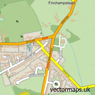
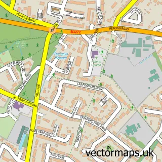
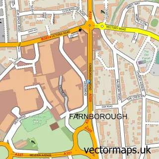
Nearby street map samples around Blackwater

More street maps in Hampshire
750 metre map area coverage
Boundary, postcode and point of interest information for the 750m x 750m rectangle centred on this sample map.
Boundaries containing map centre
Constituency: Aldershot Boro Const
County: Hampshire County
District: Hart District
Icb: NHS Frimley ICB
Parish: Blackwater and Hawley CP
Police Force: hampshire
Postcode District: GU17
Postcode Sector: GU17 9
Ward: Blackwater and Hawley Ward
Nearby boundaries intersecting sample
Constituency: Bracknell Boro Const, Surrey Heath Co Const
County: Surrey County
District: Bracknell Forest (B), Surrey Heath District (B)
Parish: Sandhurst CP
Police Force: surrey, thames valley
Postcode District: GU15, GU47
Postcode Sector: GU15 3, GU17 0, GU47 0
Ward: Owlsmoor & College Town Ward, St. Michaels Ward
Postcode coverage
POI category counts
Beauty Salon: 5
Building Supply Store: 5
Gym: 5
Professional Services: 5
Hair Salon: 4
Massage Therapy: 4
Bakery: 3
Contractor: 3
Pest Control Service: 3
Plumbing: 3
Sample points of interest
- Sykes Dalby & Truelove
- Turner & Co
- MF Martial Arts - Yateley
- Jon Walsh Acupuncture
- Kallo
- Crown River Design
- D & D
- The Phirm
- Berridge Electrical Services
- 4x4 Insurance
- Kwik Fit
- Jonathon Cloud Ltd
Create a larger editable map of Blackwater
This sample shows only a 750 metre area. To create a larger map of Blackwater, use our map builder to choose your own coverage area, add titles and download editable SVG, PDF and PNG files.
Create a custom map of Blackwater