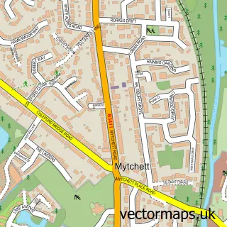
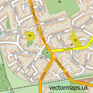
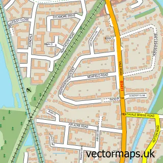
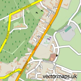
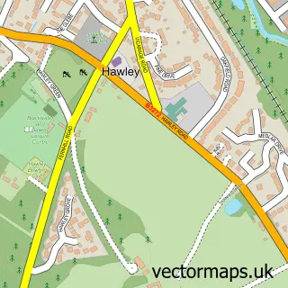
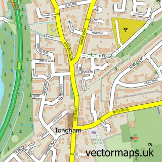
This Farnborough street map is a detailed vector street map covering a 750m x 750m area. Select a larger area to create and download your own vector street map of Farnborough.
The 750-metre map sample for Farnborough covers 323 mapped buildings and approximately 20.2 km of road detail, of which 26 named roads are named. The immediate area includes 1 school, 1 GP surgery, with 8 within 2 miles, 4 pubs and 19 MOT stations within 2 miles. The wider area around Farnborough features 4 tourism points of interest, 16 food and drink venues and 9 hotels. To create a larger or custom map of Farnborough, the map builder lets you define your own coverage area and download editable SVG, PDF and PNG files.
Create a larger editable map of Farnborough
Choose any area you need and generate a high-quality vector map instantly. Perfect for print, planning, design, business and personal use.

This Farnborough street map in Hampshire is available as downloadable SVG, PDF and PNG map files, or as a printed map for planning, business, display, education, local information and design work. You can also create a larger custom map area using the map selector.
What this Farnborough map sample shows
Farnborough lies within Hampshire County parish, part of Knellwood ward in the Rushmoor District (B) local authority area. The postcode geography for this area includes the GU postcode area, the GU14 postcode district and the GU14 6 postcode sector. Residents fall under the Nhs Frimley Integrated Care Board for NHS services.
Local features near Farnborough
Within 2 milesAmenities and services in and around Farnborough.
Administrative and postcode information for Farnborough
Farnborough lies within Hampshire County parish, part of Knellwood ward in the Rushmoor District (B) local authority area. The postcode geography for this area includes the GU postcode area, the GU14 postcode district and the GU14 6 postcode sector. Residents fall under the Nhs Frimley Integrated Care Board for NHS services.
Nearby street map samples around Farnborough

More street maps in Hampshire
750 metre map area coverage
Boundary, postcode and point of interest information for the 750m x 750m rectangle centred on this sample map.
Boundaries containing map centre
Constituency: Aldershot Boro Const
County: Hampshire County
District: Rushmoor District (B)
Icb: NHS Frimley ICB
Police Force: hampshire
Postcode District: GU14
Postcode Sector: GU14 7
Ward: Empress Ward
Nearby boundaries intersecting sample
Ward: Knellwood Ward
Postcode coverage
POI category counts
Fast Food Restaurant: 12
Beauty Salon: 9
Hotel: 9
Travel Agents: 9
Bank Credit Union: 8
Employment Agencies: 8
Insurance Agency: 8
Travel Services: 8
Clothing Store: 7
Information Technology Company: 7
Sample points of interest
- Howard Lee Fellows & Co.
- Michael Simpson Ltd
- Penney's Accountancy
- TaxAssist Accountants
- Treetops Chartered Accountants
- Acupuncture & Herbs Clinic
- Herbals & Acupuncture
- Herbs & Acupuncture Farnborough
- Ability Product Marketing
- Concise Public Relations
- Red Rooster Graphic Designs
- Wisetiger
Create a larger editable map of Farnborough
This sample shows only a 750 metre area. To create a larger map of Farnborough, use our map builder to choose your own coverage area, add titles and download editable SVG, PDF and PNG files.
Create a custom map of Farnborough