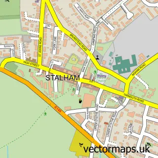
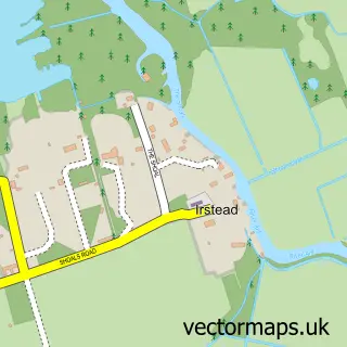
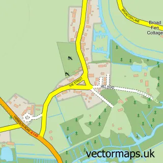
This Neatishead street map is a detailed vector street map covering a 750m x 750m area. Select a larger area to create and download your own vector street map of Neatishead.
The 750-metre map sample for Neatishead covers 119 mapped buildings and approximately 9.5 km of road detail, of which 7 named roads are named. The immediate area includes 1 pub and 1 MOT station within 2 miles. The wider area around Neatishead features 1 tourism point of interest, 1 food and drink venue and 2 hotels. To create a larger or custom map of Neatishead, the map builder lets you define your own coverage area and download editable SVG, PDF and PNG files.
Create a larger editable map of Neatishead
Choose any area you need and generate a high-quality vector map instantly. Perfect for print, planning, design, business and personal use.

This Neatishead street map in Norfolk is available as downloadable SVG, PDF and PNG map files, or as a printed map for planning, business, display, education, local information and design work. You can also create a larger custom map area using the map selector.
What this Neatishead map sample shows
Neatishead lies within Neatishead Cp parish, part of Hoveton & Tunstead ward in the North Norfolk District local authority area. The postcode geography for this area includes the NR postcode area, the NR12 postcode district and the NR12 8 postcode sector. Residents fall under the Nhs Norfolk And Waveney Integrated Care Board for NHS services.
Local features near Neatishead
Within 2 milesAmenities and services in and around Neatishead.
Administrative and postcode information for Neatishead
Neatishead lies within Neatishead Cp parish, part of Hoveton & Tunstead ward in the North Norfolk District local authority area. The postcode geography for this area includes the NR postcode area, the NR12 postcode district and the NR12 8 postcode sector. Residents fall under the Nhs Norfolk And Waveney Integrated Care Board for NHS services.
Nearby street map samples around Neatishead

More street maps in Norfolk
750 metre map area coverage
Boundary, postcode and point of interest information for the 750m x 750m rectangle centred on this sample map.
Boundaries containing map centre
Constituency: North Norfolk Co Const
County: Norfolk County
District: North Norfolk District
Icb: NHS Norfolk and Waveney ICB
Parish: Neatishead CP
Police Force: norfolk
Postcode District: NR12
Postcode Sector: NR12 8
Ward: Hoveton & Tunstead Ward
Nearby boundaries intersecting sample
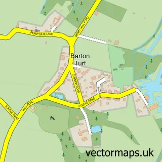
Parish: Barton Turf CP
Postcode coverage
POI category counts
Convenience Store: 2
Hotel: 2
Bed And Breakfast: 1
Campground: 1
Caterer: 1
Charity Organization: 1
Community Center: 1
Hair Salon: 1
Pool Cleaning: 1
Professional Services: 1
Sample points of interest
- Ye Olde Saddlery
- Street Hill Farm Caravan & Camping
- Nelson's County Catering
- Nancy Oldfield Trust
- New Victory Hall
- White House Stores Community Shop
- Whitehouse Stores
- Indulge Beauty Salon
- Norfolk Holiday Accommodation
- Regency Guest House
- Swim in a Barn
- The Nancy Oldfield Trust
Create a larger editable map of Neatishead
This sample shows only a 750 metre area. To create a larger map of Neatishead, use our map builder to choose your own coverage area, add titles and download editable SVG, PDF and PNG files.
Create a custom map of Neatishead