This Ashmanhaugh street map is a detailed vector street map covering a 750m x 750m area. Select a larger area to create and download your own vector street map of Ashmanhaugh.
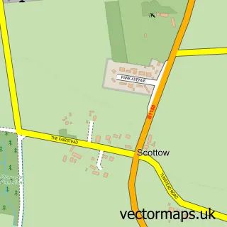
The 750-metre map sample for Ashmanhaugh covers 84 mapped buildings and approximately 5.5 km of road detail, of which 4 named roads are named. The immediate area includes 1 GP surgery within 2 miles and 1 MOT station within 2 miles. To create a larger or custom map of Ashmanhaugh, the map builder lets you define your own coverage area and download editable SVG, PDF and PNG files.
Create a larger editable map of Ashmanhaugh
Choose any area you need and generate a high-quality vector map instantly. Perfect for print, planning, design, business and personal use.

This Ashmanhaugh street map in Norfolk is available as downloadable SVG, PDF and PNG map files, or as a printed map for planning, business, display, education, local information and design work. You can also create a larger custom map area using the map selector.
What this Ashmanhaugh map sample shows
Ashmanhaugh lies within Ashmanhaugh Cp parish, part of Hoveton & Tunstead ward in the North Norfolk District local authority area. The postcode geography for this area includes the NR postcode area, the NR12 postcode district and the NR12 8 postcode sector. Residents fall under the Nhs Norfolk And Waveney Integrated Care Board for NHS services.
Local features near Ashmanhaugh
Within 2 milesAmenities and services in and around Ashmanhaugh.
Administrative and postcode information for Ashmanhaugh
Ashmanhaugh lies within Ashmanhaugh Cp parish, part of Hoveton & Tunstead ward in the North Norfolk District local authority area. The postcode geography for this area includes the NR postcode area, the NR12 postcode district and the NR12 8 postcode sector. Residents fall under the Nhs Norfolk And Waveney Integrated Care Board for NHS services.
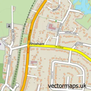
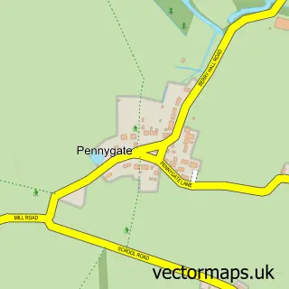
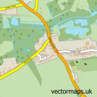
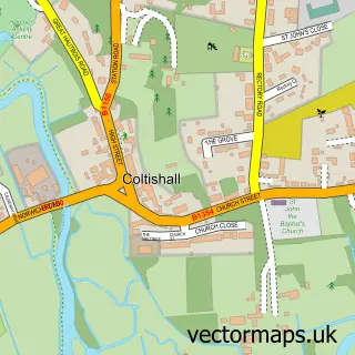
Nearby street map samples around Ashmanhaugh

More street maps in Norfolk
750 metre map area coverage
Boundary, postcode and point of interest information for the 750m x 750m rectangle centred on this sample map.
Boundaries containing map centre
Constituency: North Norfolk Co Const
County: Norfolk County
District: North Norfolk District
Icb: NHS Norfolk and Waveney ICB
Parish: Ashmanhaugh CP
Police Force: norfolk
Postcode District: NR12
Postcode Sector: NR12 8
Ward: Hoveton & Tunstead Ward
Nearby boundaries intersecting sample
Parish: Hoveton CP, Tunstead CP
Postcode coverage
POI category counts
Professional Services: 2
Bakery: 1
Bed And Breakfast: 1
Building Supply Store: 1
Coal And Coke: 1
Home Service: 1
Sample points of interest
- Molly makes and cakes
- East View Farm Luxury Holiday Cottages
- Reach Right Cleaning
- C P L Distribution Ltd.
- Rectorycottage Childminding
- CPL Distribution
- S G Coleman & Sons
Create a larger editable map of Ashmanhaugh
This sample shows only a 750 metre area. To create a larger map of Ashmanhaugh, use our map builder to choose your own coverage area, add titles and download editable SVG, PDF and PNG files.
Create a custom map of Ashmanhaugh