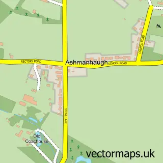
This Horning street map is a detailed vector street map covering a 750m x 750m area. Select a larger area to create and download your own vector street map of Horning.
The 750-metre map sample for Horning covers 345 mapped buildings and approximately 10.6 km of road detail, of which 15 named roads are named. The immediate area includes 4 pubs. The wider area around Horning features 5 food and drink venues and 4 hotels. To create a larger or custom map of Horning, the map builder lets you define your own coverage area and download editable SVG, PDF and PNG files.
Create a larger editable map of Horning
Choose any area you need and generate a high-quality vector map instantly. Perfect for print, planning, design, business and personal use.

This Horning street map in Norfolk is available as downloadable SVG, PDF and PNG map files, or as a printed map for planning, business, display, education, local information and design work. You can also create a larger custom map area using the map selector.
What this Horning map sample shows
Horning lies within Horning Cp parish, part of St Benet's ward in the North Norfolk District local authority area. The postcode geography for this area includes the NR postcode area, the NR12 postcode district and the NR12 8 postcode sector. Residents fall under the Nhs Norfolk And Waveney Integrated Care Board for NHS services.
Local features near Horning
Within 2 milesAmenities and services in and around Horning.
Administrative and postcode information for Horning
The local authority covering Horning is North Norfolk District, within the county of Norfolk. The settlement lies within St Benet's ward and Horning Cp civil parish. The NR12 postcode district and NR12 8 postcode sector serve the immediate area. NHS provision in the area is delivered through Norfolk And Norwich University Hospitals Nhs Foundation Trust.
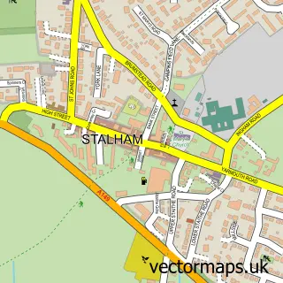
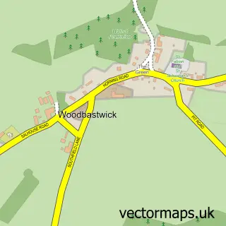
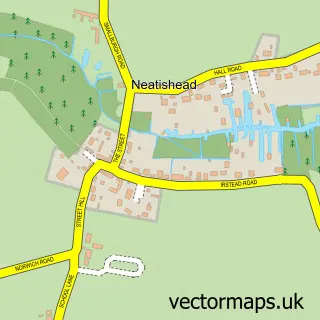
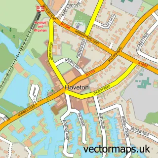
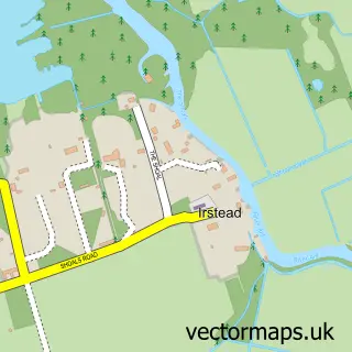
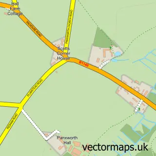
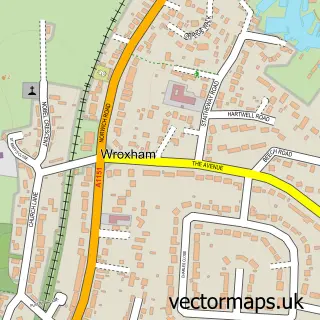
Nearby street map samples around Horning

More street maps in Norfolk
750 metre map area coverage
Boundary, postcode and point of interest information for the 750m x 750m rectangle centred on this sample map.
Boundaries containing map centre
Constituency: North Norfolk Co Const
County: Norfolk County
District: North Norfolk District
Icb: NHS Norfolk and Waveney ICB
Parish: Horning CP
Police Force: norfolk
Postcode District: NR12
Postcode Sector: NR12 8
Ward: St. Benet's Ward
Nearby boundaries intersecting sample
Constituency: Broadland and Fakenham Co Const
District: Broadland District
Parish: Woodbastwick CP
Postcode District: NR13
Postcode Sector: NR13 6
Ward: Blofield with South Walsham Ward
Postcode coverage
POI category counts
Hotel: 4
Pub: 4
Holiday Rental Home: 3
Boat Service And Repair: 2
British Restaurant: 2
Church Cathedral: 2
Shipping Center: 2
Agricultural Service: 1
Auto Upholstery: 1
Automotive: 1
Sample points of interest
- Thomson & Joseph Ltd
- Horning Marine Covers
- Horning Village Marina
- The Moorhen
- Broadland Yacht Brokers Ltd.
- Norfolk Boats
- Horning Pleasurecraft
- Southgates Boatyard And Moorings
- Mississippi River Boat
- Andrew's Weddings
- Country Treats Cafe Horning
- Taps Restaurant
Create a larger editable map of Horning
This sample shows only a 750 metre area. To create a larger map of Horning, use our map builder to choose your own coverage area, add titles and download editable SVG, PDF and PNG files.
Create a custom map of Horning