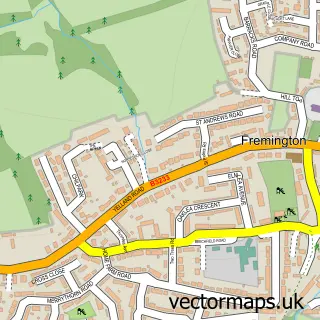
This Newton Tracey street map is a detailed vector street map covering a 750m x 750m area. Select a larger area to create and download your own vector street map of Newton Tracey.
The 750-metre map sample for Newton Tracey covers 88 mapped buildings and approximately 5.7 km of road detail, of which 1 named road are named. The immediate area includes 1 pub. The wider area around Newton Tracey features 1 food and drink venue. To create a larger or custom map of Newton Tracey, the map builder lets you define your own coverage area and download editable SVG, PDF and PNG files.
Create a larger editable map of Newton Tracey
Choose any area you need and generate a high-quality vector map instantly. Perfect for print, planning, design, business and personal use.

This Newton Tracey street map in Devon is available as downloadable SVG, PDF and PNG map files, or as a printed map for planning, business, display, education, local information and design work. You can also create a larger custom map area using the map selector.
What this Newton Tracey map sample shows
Newton Tracey lies within Horwood, Lovacott And Newton Tracey Cp parish, part of Instow ward in the North Devon District local authority area. The postcode geography for this area includes the EX postcode area, the EX31 postcode district and the EX31 3 postcode sector. Residents fall under the Nhs Devon Integrated Care Board for NHS services.
Local features near Newton Tracey
Within 2 milesAmenities and services in and around Newton Tracey.
Administrative and postcode information for Newton Tracey
Newton Tracey lies within Horwood, Lovacott And Newton Tracey Cp parish, part of Instow ward in the North Devon District local authority area. The postcode geography for this area includes the EX postcode area, the EX31 postcode district and the EX31 3 postcode sector. Residents fall under the Nhs Devon Integrated Care Board for NHS services.
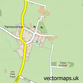
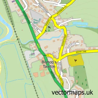
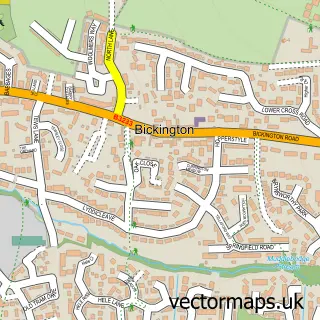
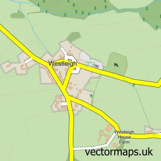
Nearby street map samples around Newton Tracey

More street maps in Devon
750 metre map area coverage
Boundary, postcode and point of interest information for the 750m x 750m rectangle centred on this sample map.
Boundaries containing map centre
Constituency: North Devon Co Const
County: Devon County
District: North Devon District
Icb: NHS Devon ICB
Parish: Horwood, Lovacott and Newton Tracey CP
Police Force: devon and cornwall
Postcode District: EX31
Postcode Sector: EX31 3
Ward: Instow Ward
Nearby boundaries intersecting sample
Postcode District: EX39
Postcode Sector: EX39 4
Postcode coverage
POI category counts
Metal Fabricator: 3
Anglican Church: 1
Beauty Salon: 1
Caterer: 1
Hobby Shop: 1
Naturopathic Holistic: 1
Pop Up Shop: 1
Pub: 1
Real Estate: 1
Sample points of interest
- St Thomas-a-Beckett, Newton Tracey
- The Beauty Barn - Barnstaple
- Micky's Kitchen
- The Hut Life
- W. M. Ironwork Ltd.
- W.M Ironwork Ltd.
- WM Ironwork LTD
- Amethyst Beauty
- Newton Tracey Christmas Trees
- The Hunters Inn
- Blue Bay Developments
Create a larger editable map of Newton Tracey
This sample shows only a 750 metre area. To create a larger map of Newton Tracey, use our map builder to choose your own coverage area, add titles and download editable SVG, PDF and PNG files.
Create a custom map of Newton Tracey