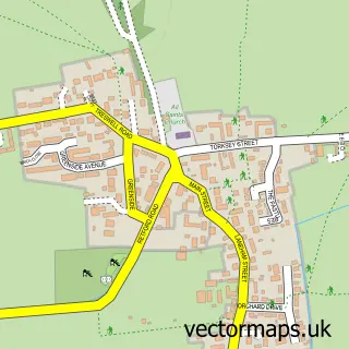
This North Leverton with Habblesthorpe street map is a detailed vector street map covering a 750m x 750m area. Select a larger area to create and download your own vector street map of North Leverton with Habblesthorpe.
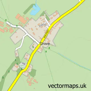
The 750-metre map sample for North Leverton with Habblesthorpe covers 333 mapped buildings and approximately 13.4 km of road detail, of which 22 named roads are named. The immediate area includes 1 school, 1 GP surgery, 1 pub and 1 MOT station, with 2 within 2 miles. The wider area around North Leverton with Habblesthorpe features 1 food and drink venue. To create a larger or custom map of North Leverton with Habblesthorpe, the map builder lets you define your own coverage area and download editable SVG, PDF and PNG files.
Create a larger editable map of North Leverton with Habblesthorpe
Choose any area you need and generate a high-quality vector map instantly. Perfect for print, planning, design, business and personal use.

This North Leverton with Habblesthorpe street map in Nottinghamshire is available as downloadable SVG, PDF and PNG map files, or as a printed map for planning, business, display, education, local information and design work. You can also create a larger custom map area using the map selector.
What this North Leverton with Habblesthorpe map sample shows
North Leverton with Habblesthorpe lies within North Leverton With Habblesthorpe Cp parish, part of Sturton ward in the Bassetlaw District local authority area. The postcode geography for this area includes the DN postcode area, the DN22 postcode district and the DN22 0 postcode sector. Residents fall under the Nhs Nottingham And Nottinghamshire Integrated Care Board for NHS services.
Local features near North Leverton with Habblesthorpe
Within 2 milesAmenities and services in and around North Leverton with Habblesthorpe.
Administrative and postcode information for North Leverton with Habblesthorpe
North Leverton with Habblesthorpe lies within North Leverton With Habblesthorpe Cp parish, part of Sturton ward in the Bassetlaw District local authority area. The postcode geography for this area includes the DN postcode area, the DN22 postcode district and the DN22 0 postcode sector. Residents fall under the Nhs Nottingham And Nottinghamshire Integrated Care Board for NHS services.
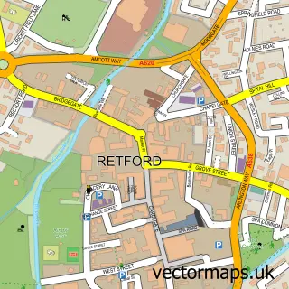
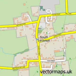
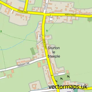
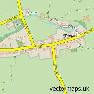
Nearby street map samples around North Leverton with Habblesthorpe

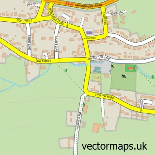
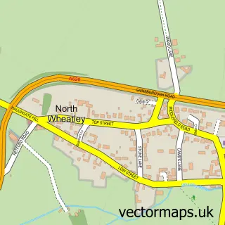
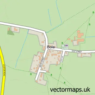
More street maps in Nottinghamshire
750 metre map area coverage
Boundary, postcode and point of interest information for the 750m x 750m rectangle centred on this sample map.
Boundaries containing map centre
Constituency: Newark Co Const
County: Nottinghamshire County
District: Bassetlaw District
Icb: NHS Nottingham and Nottinghamshire ICB
Parish: North Leverton with Habblesthorpe CP
Police Force: nottinghamshire
Postcode District: DN22
Postcode Sector: DN22 0
Ward: Sturton Ward
Nearby boundaries intersecting sample
No additional intersecting boundaries found.
Postcode coverage
POI category counts
Convenience Store: 2
Doctor: 2
Shipping Center: 2
Beauty And Spa: 1
Building Supply Store: 1
Church Cathedral: 1
Day Care Preschool: 1
Dog Trainer: 1
Forestry Service: 1
Freight And Cargo Service: 1
Sample points of interest
- Salon Royal
- Jack Gray General Builder
- St Martin's Church
- Premier
- Premier North Leverton Village Store
- North Leverton Pre-School & Out of School Club
- Dr G Brownson
- North Leverton Surgery
- Problem Dog
- K J Jarvis & Son
- N B Overland
- Rainbows Furniture LTD
Create a larger editable map of North Leverton with Habblesthorpe
This sample shows only a 750 metre area. To create a larger map of North Leverton with Habblesthorpe, use our map builder to choose your own coverage area, add titles and download editable SVG, PDF and PNG files.
Create a custom map of North Leverton with Habblesthorpe