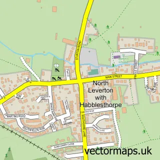
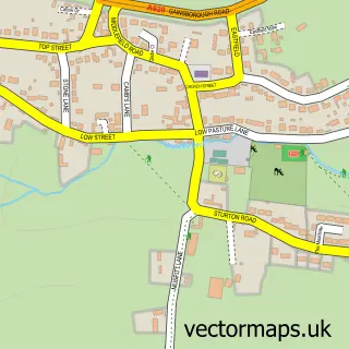
This South Leverton street map is a detailed vector street map covering a 750m x 750m area. Select a larger area to create and download your own vector street map of South Leverton.
The 750-metre map sample for South Leverton covers 217 mapped buildings and approximately 16.2 km of road detail, of which 10 named roads are named. The immediate area includes 1 school, 1 GP surgery within 2 miles, 1 pub and 4 MOT stations within 2 miles. The wider area around South Leverton features 1 food and drink venue. To create a larger or custom map of South Leverton, the map builder lets you define your own coverage area and download editable SVG, PDF and PNG files.
Create a larger editable map of South Leverton
Choose any area you need and generate a high-quality vector map instantly. Perfect for print, planning, design, business and personal use.

This South Leverton street map in Nottinghamshire is available as downloadable SVG, PDF and PNG map files, or as a printed map for planning, business, display, education, local information and design work. You can also create a larger custom map area using the map selector.
What this South Leverton map sample shows
South Leverton lies within South Leverton Cp parish, part of Rampton ward in the Bassetlaw District local authority area. The postcode geography for this area includes the DN postcode area, the DN22 postcode district and the DN22 0 postcode sector. Residents fall under the Nhs Nottingham And Nottinghamshire Integrated Care Board for NHS services.
Local features near South Leverton
Within 2 milesAmenities and services in and around South Leverton.
Administrative and postcode information for South Leverton
South Leverton lies within South Leverton Cp parish, part of Rampton ward in the Bassetlaw District local authority area. The postcode geography for this area includes the DN postcode area, the DN22 postcode district and the DN22 0 postcode sector. Residents fall under the Nhs Nottingham And Nottinghamshire Integrated Care Board for NHS services.
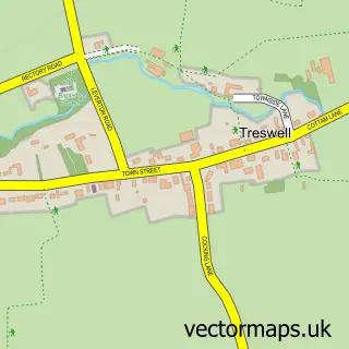
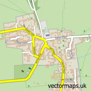
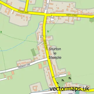
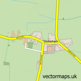
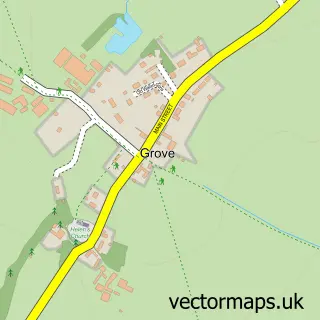
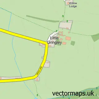
Nearby street map samples around South Leverton

More street maps in Nottinghamshire
750 metre map area coverage
Boundary, postcode and point of interest information for the 750m x 750m rectangle centred on this sample map.
Boundaries containing map centre
Constituency: Newark Co Const
County: Nottinghamshire County
District: Bassetlaw District
Icb: NHS Nottingham and Nottinghamshire ICB
Parish: South Leverton CP
Police Force: nottinghamshire
Postcode District: DN22
Postcode Sector: DN22 0
Ward: Rampton Ward
Nearby boundaries intersecting sample
No additional intersecting boundaries found.
Postcode coverage
POI category counts
Automotive Repair: 2
Assisted Living Facility: 1
Bakery: 1
Bar: 1
Church Cathedral: 1
Community Center: 1
Contractor: 1
Disability Law: 1
Holiday Rental Home: 1
Home Improvement Store: 1
Sample points of interest
- Beeches
- Miles Leverton
- Miles Limited
- The Leverton Cakery
- The Plough Inn
- All Saints' Church
- South Leverton Memorial Institute
- Bisf Renovationseptaluk Services
- Redbank House Voyage Care
- Diamond House
- BISF Renovation Services
- Shogai Karate Dojo
Create a larger editable map of South Leverton
This sample shows only a 750 metre area. To create a larger map of South Leverton, use our map builder to choose your own coverage area, add titles and download editable SVG, PDF and PNG files.
Create a custom map of South Leverton