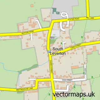
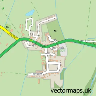
This Rampton street map is a detailed vector street map covering a 750m x 750m area. Select a larger area to create and download your own vector street map of Rampton.
The 750-metre map sample for Rampton covers 264 mapped buildings and approximately 16.8 km of road detail, of which 14 named roads are named. The immediate area includes 1 pub and 1 MOT station, with 3 within 2 miles. The wider area around Rampton features 1 tourism point of interest, 1 food and drink venue and 1 campsite within 2 miles. To create a larger or custom map of Rampton, the map builder lets you define your own coverage area and download editable SVG, PDF and PNG files.
Create a larger editable map of Rampton
Choose any area you need and generate a high-quality vector map instantly. Perfect for print, planning, design, business and personal use.

This Rampton street map in Nottinghamshire is available as downloadable SVG, PDF and PNG map files, or as a printed map for planning, business, display, education, local information and design work. You can also create a larger custom map area using the map selector.
What this Rampton map sample shows
Rampton lies within Rampton And Woodbeck Cp parish, part of Rampton ward in the Bassetlaw District local authority area. The postcode geography for this area includes the DN postcode area, the DN22 postcode district and the DN22 0 postcode sector. Residents fall under the Nhs Nottingham And Nottinghamshire Integrated Care Board for NHS services.
Local features near Rampton
Within 2 milesAmenities and services in and around Rampton.
Administrative and postcode information for Rampton
The local authority covering Rampton is Bassetlaw District, within the county of Nottinghamshire. The settlement lies within Rampton ward and Rampton And Woodbeck Cp civil parish. The DN22 postcode district and DN22 0 postcode sector serve the immediate area. NHS provision in the area is delivered through Doncaster And Bassetlaw Teaching Hospitals Nhs Foundation Trust.
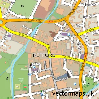
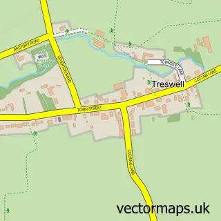
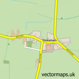
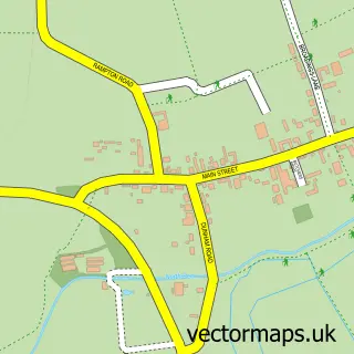
Nearby street map samples around Rampton

More street maps in Nottinghamshire
750 metre map area coverage
Boundary, postcode and point of interest information for the 750m x 750m rectangle centred on this sample map.
Boundaries containing map centre
Constituency: Newark Co Const
County: Nottinghamshire County
District: Bassetlaw District
Icb: NHS Nottingham and Nottinghamshire ICB
Parish: Rampton and Woodbeck CP
Police Force: nottinghamshire
Postcode District: DN22
Postcode Sector: DN22 0
Ward: Rampton Ward
Nearby boundaries intersecting sample
No additional intersecting boundaries found.
Postcode coverage
POI category counts
Post Office: 2
Anglican Church: 1
Automotive Repair: 1
Bicycle Shop: 1
Building Supply Store: 1
Business Management Services: 1
Church Cathedral: 1
Engineering Services: 1
International Business And Trade Services: 1
Medical Center: 1
Sample points of interest
- All Saints, Rampton
- R and R Motors
- Red Door Bikes
- Pure Living Interiors
- Racecourse Hospitality Ltd.
- All Saints' Church
- Aquatic Control Engineering
- Panna Bielecka Interior Design
- Claire Champion Hypnotherapy
- Rampton park
- Post Office
- Rampton Post Office
Create a larger editable map of Rampton
This sample shows only a 750 metre area. To create a larger map of Rampton, use our map builder to choose your own coverage area, add titles and download editable SVG, PDF and PNG files.
Create a custom map of Rampton