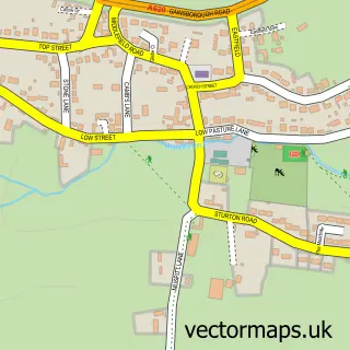
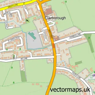
This Sturton le Steeple street map is a detailed vector street map covering a 750m x 750m area. Select a larger area to create and download your own vector street map of Sturton le Steeple.
The 750-metre map sample for Sturton le Steeple covers 182 mapped buildings and approximately 14.0 km of road detail, of which 13 named roads are named. The immediate area includes 1 school, 1 GP surgery within 2 miles, 2 pubs and 1 MOT station within 2 miles. The wider area around Sturton le Steeple features 2 food and drink venues. To create a larger or custom map of Sturton le Steeple, the map builder lets you define your own coverage area and download editable SVG, PDF and PNG files.
Create a larger editable map of Sturton le Steeple
Choose any area you need and generate a high-quality vector map instantly. Perfect for print, planning, design, business and personal use.

This Sturton le Steeple street map in Nottinghamshire is available as downloadable SVG, PDF and PNG map files, or as a printed map for planning, business, display, education, local information and design work. You can also create a larger custom map area using the map selector.
What this Sturton le Steeple map sample shows
Sturton le Steeple lies within Sturton Le Steeple Cp parish, part of Sturton ward in the Bassetlaw District local authority area. The postcode geography for this area includes the DN postcode area, the DN22 postcode district and the DN22 9 postcode sector. Residents fall under the Nhs Nottingham And Nottinghamshire Integrated Care Board for NHS services.
Local features near Sturton le Steeple
Within 2 milesAmenities and services in and around Sturton le Steeple.
Administrative and postcode information for Sturton le Steeple
Sturton le Steeple lies within Sturton Le Steeple Cp parish, part of Sturton ward in the Bassetlaw District local authority area. The postcode geography for this area includes the DN postcode area, the DN22 postcode district and the DN22 9 postcode sector. Residents fall under the Nhs Nottingham And Nottinghamshire Integrated Care Board for NHS services.
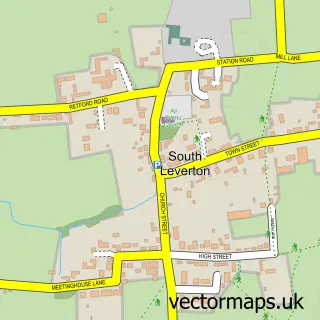
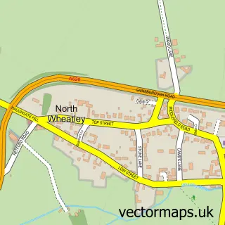
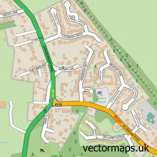
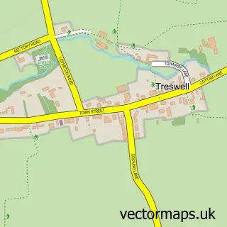
Nearby street map samples around Sturton le Steeple

More street maps in Nottinghamshire
750 metre map area coverage
Boundary, postcode and point of interest information for the 750m x 750m rectangle centred on this sample map.
Boundaries containing map centre
Constituency: Newark Co Const
County: Nottinghamshire County
District: Bassetlaw District
Icb: NHS Nottingham and Nottinghamshire ICB
Parish: Sturton Le Steeple CP
Police Force: nottinghamshire
Postcode District: DN22
Postcode Sector: DN22 9
Ward: Sturton Ward
Nearby boundaries intersecting sample
No additional intersecting boundaries found.
Postcode coverage
POI category counts
Pub: 2
Auto Loan Provider: 1
Church Cathedral: 1
Electrician: 1
Elementary School: 1
Furniture Manufacturers: 1
Nursery And Gardening: 1
Professional Services: 1
Scout Hall: 1
Shipping Center: 1
Sample points of interest
- Freephone Mortgages & Loans
- St Peter and St Paul's Church
- Gary Nash Electrical Services
- Sturton C of E Primary School
- Pennridge & Wells
- Deb Digs Plants
- Sophie Ruck Photography
- The Reindeer - Sturton Le Steeple
- The Reindeer Inn
- 1st Clarborough and District
- Sturton Le Steeple Post Office
Create a larger editable map of Sturton le Steeple
This sample shows only a 750 metre area. To create a larger map of Sturton le Steeple, use our map builder to choose your own coverage area, add titles and download editable SVG, PDF and PNG files.
Create a custom map of Sturton le Steeple