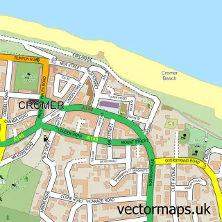
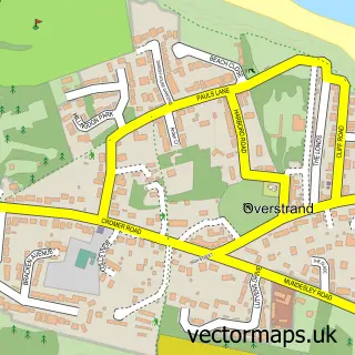
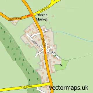
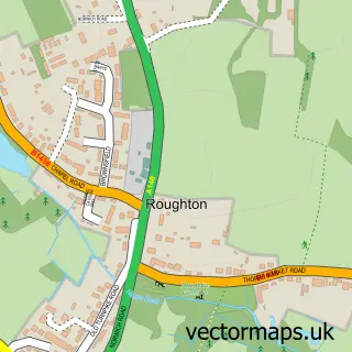
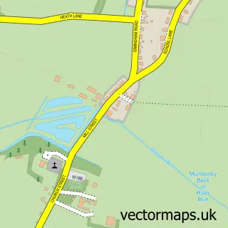
This Northrepps street map is a detailed vector street map covering a 750m x 750m area. Select a larger area to create and download your own vector street map of Northrepps.
The 750-metre map sample for Northrepps covers 143 mapped buildings and approximately 10.5 km of road detail, of which 15 named roads are named. The immediate area includes 1 school, 1 GP surgery within 2 miles, 1 pub and 2 MOT stations within 2 miles. The wider area around Northrepps features 1 food and drink venue, 2 hotels and 3 campsites within 2 miles. To create a larger or custom map of Northrepps, the map builder lets you define your own coverage area and download editable SVG, PDF and PNG files.
Create a larger editable map of Northrepps
Choose any area you need and generate a high-quality vector map instantly. Perfect for print, planning, design, business and personal use.

This Northrepps street map in Norfolk is available as downloadable SVG, PDF and PNG map files, or as a printed map for planning, business, display, education, local information and design work. You can also create a larger custom map area using the map selector.
What this Northrepps map sample shows
Northrepps lies within Northrepps Cp parish, part of Poppyland ward in the North Norfolk District local authority area. The postcode geography for this area includes the NR postcode area, the NR27 postcode district and the NR27 0 postcode sector. Residents fall under the Nhs Norfolk And Waveney Integrated Care Board for NHS services.
Local features near Northrepps
Within 2 milesAmenities and services in and around Northrepps.
Administrative and postcode information for Northrepps
Northrepps lies within Northrepps Cp parish, part of Poppyland ward in the North Norfolk District local authority area. The postcode geography for this area includes the NR postcode area, the NR27 postcode district and the NR27 0 postcode sector. Residents fall under the Nhs Norfolk And Waveney Integrated Care Board for NHS services.
Nearby street map samples around Northrepps

More street maps in Norfolk
750 metre map area coverage
Boundary, postcode and point of interest information for the 750m x 750m rectangle centred on this sample map.
Boundaries containing map centre
Constituency: North Norfolk Co Const
County: Norfolk County
District: North Norfolk District
Icb: NHS Norfolk and Waveney ICB
Parish: Northrepps CP
Police Force: norfolk
Postcode District: NR27
Postcode Sector: NR27 0
Ward: Poppyland Ward
Nearby boundaries intersecting sample
No additional intersecting boundaries found.
Postcode coverage
POI category counts
Church Cathedral: 2
Cottage: 2
Hotel: 2
Advertising Agency: 1
Anglican Church: 1
Beach: 1
Contractor: 1
Elementary School: 1
Furniture Assembly: 1
Furniture Store: 1
Sample points of interest
- JK Media
- Northrepps: St.Mary The Virgin
- Overstrand Beach
- Northrepps Church
- Thorpe Market Church
- A J Breeze Builders North Norfolk
- Bee Cottage Northrepps
- Daisy Cottage
- Northrepps Primary & Pre School
- Stuff It Upholstery
- Lodge Farm
- Premier Inn Palace
Create a larger editable map of Northrepps
This sample shows only a 750 metre area. To create a larger map of Northrepps, use our map builder to choose your own coverage area, add titles and download editable SVG, PDF and PNG files.
Create a custom map of Northrepps